Last Updated: 21st Sep 2023
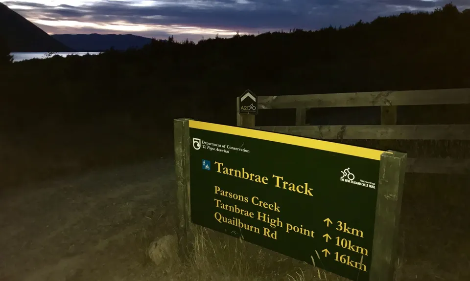
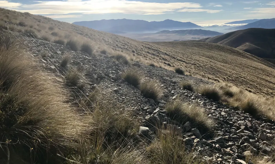
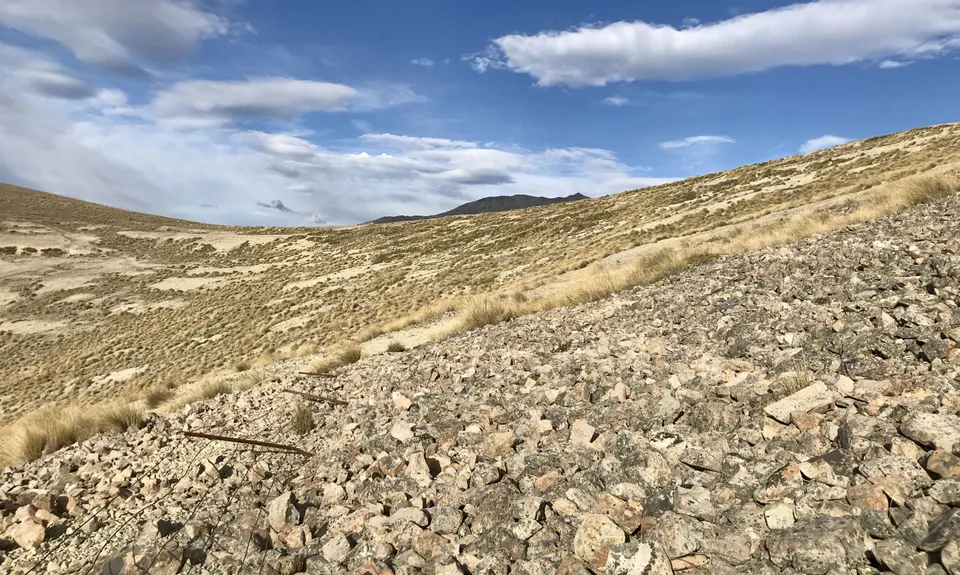
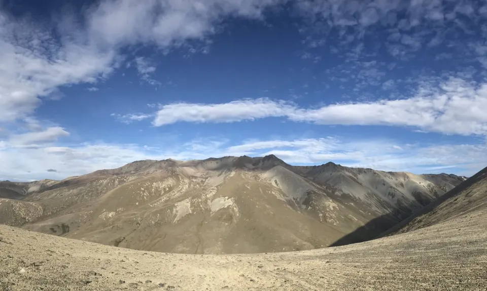
Ohau Face/East Ahuriri Loop
Last Updated: 21st Sep 2023
Open
Grunt Factor: 64 ?
Gnarl Factor: 58 ?
41.2km
1420m
1420m
1390m
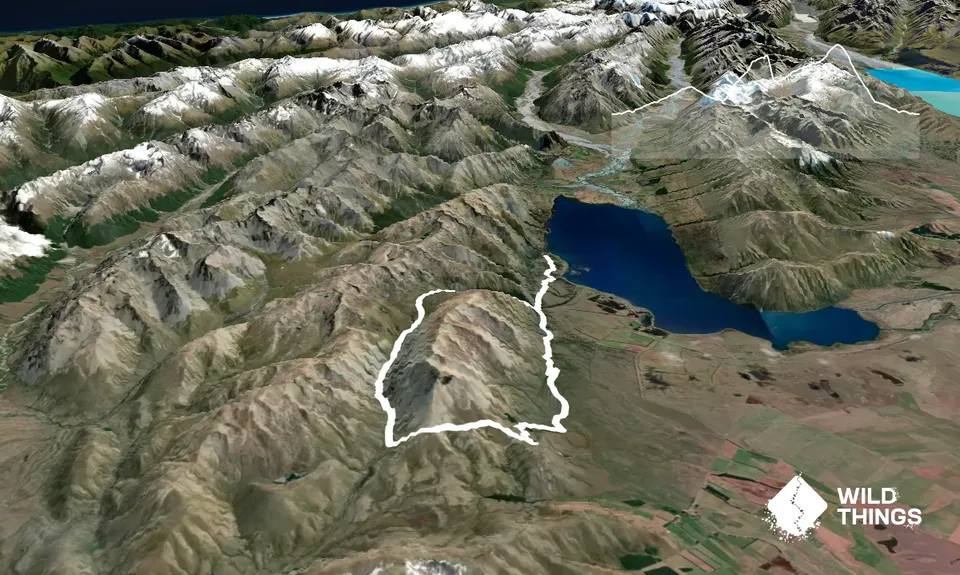
Trail Map
This Topo layer only covers NSW/ACT.
Switch to another map layer when viewing outside this area.
Switch to another map layer when viewing outside this area.


