Last Updated: 11th Jan 2024
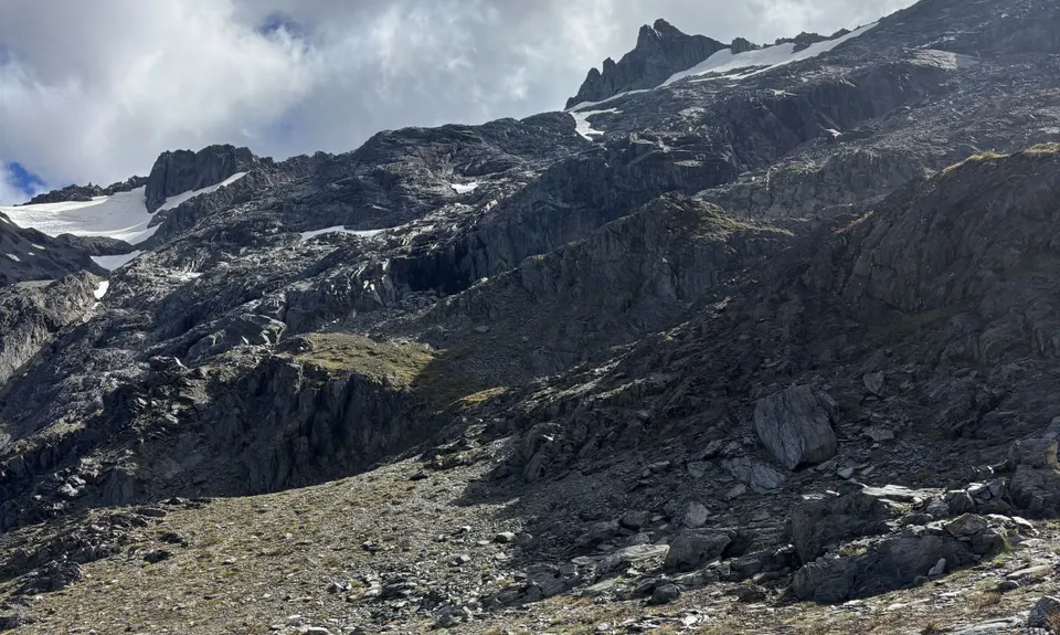
Broderick Pass Assault
Last Updated: 11th Jan 2024
Open
Grunt Factor: 78 ?
Gnarl Factor: 72 ?
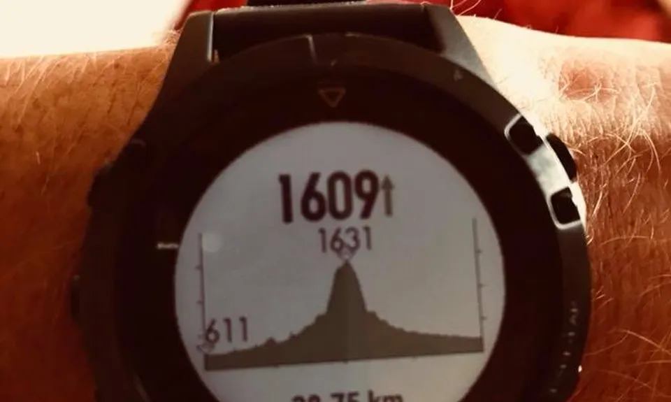
39.0km
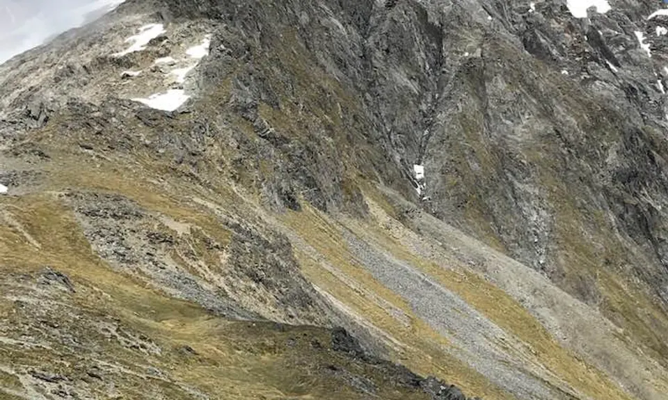
1610m
1610m
1632m
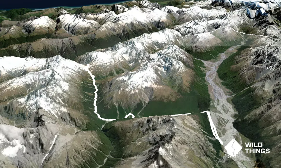
Trail Map
This Topo layer only covers NSW/ACT.
Switch to another map layer when viewing outside this area.
Switch to another map layer when viewing outside this area.