Last Updated: 22nd Feb 2026
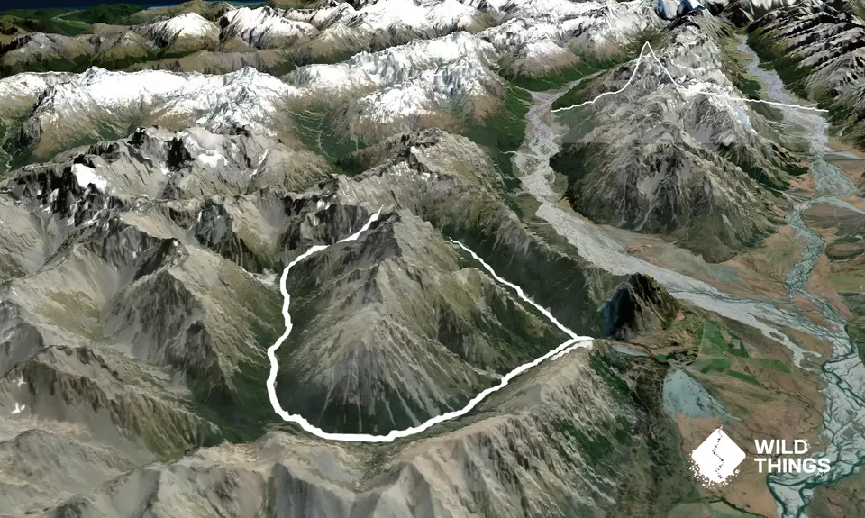
North-South Temple circuit
Last Updated: 22nd Feb 2026
Open
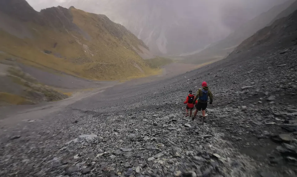
Grunt Factor: 59 ?
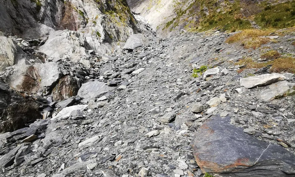
Gnarl Factor: 80 ?
24.0km
1350m
1350m
1900m

Trail Map
This Topo layer only covers NSW/ACT.
Switch to another map layer when viewing outside this area.
Switch to another map layer when viewing outside this area.


