Last Updated: 7th Feb 2026
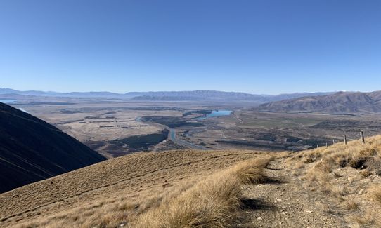
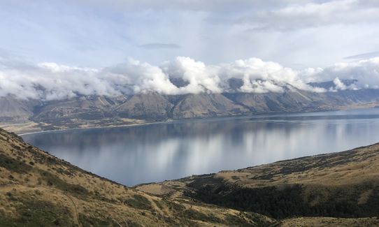
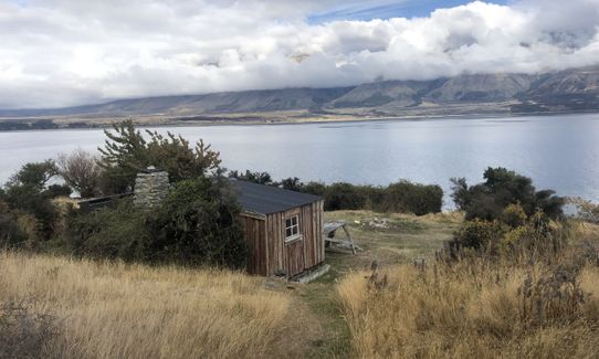
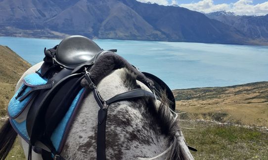
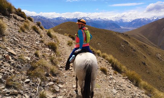
Ben Ohau Loop
Last Updated: 7th Feb 2026
Open
Grunt Factor: 35 ?
Gnarl Factor: 28 ?
17.4km
960m
960m
1403m

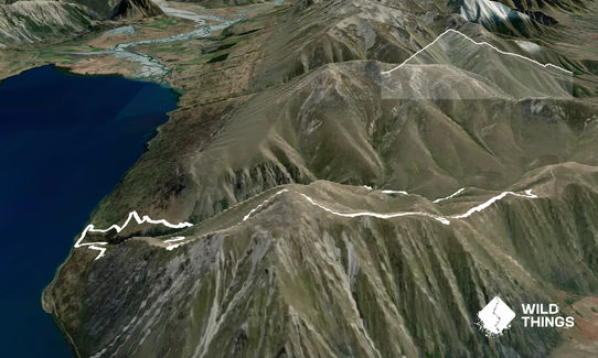
Trail Map
This Topo layer only covers NSW/ACT.
Switch to another map layer when viewing outside this area.
Switch to another map layer when viewing outside this area.