Last Updated: 11th Oct 2024
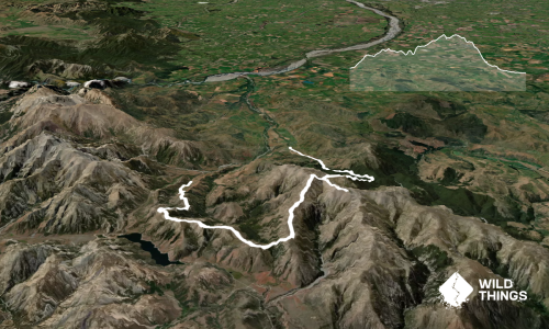
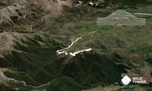
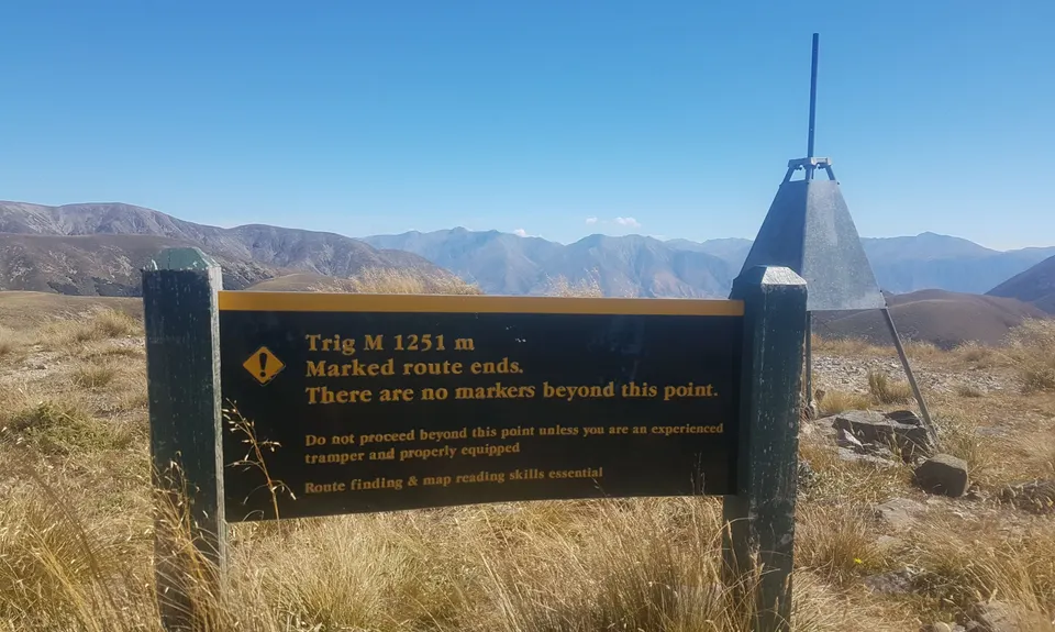
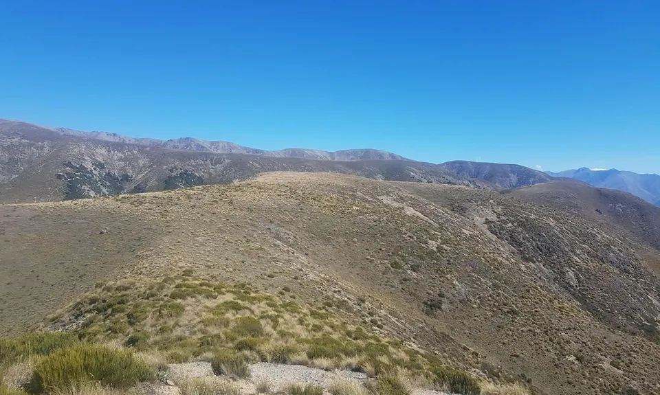
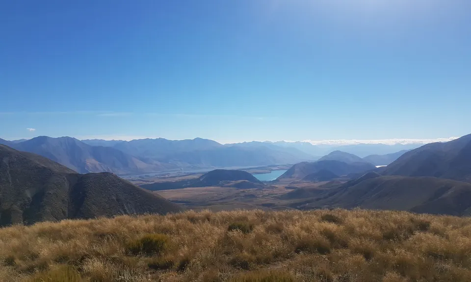
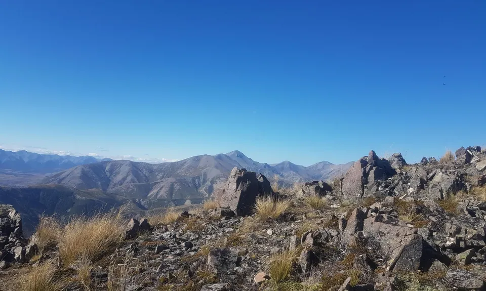
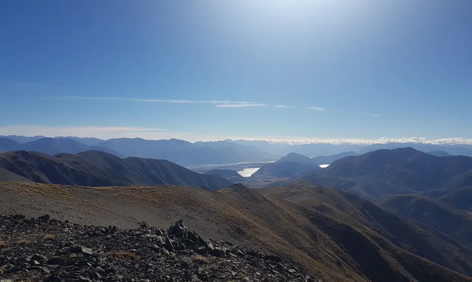
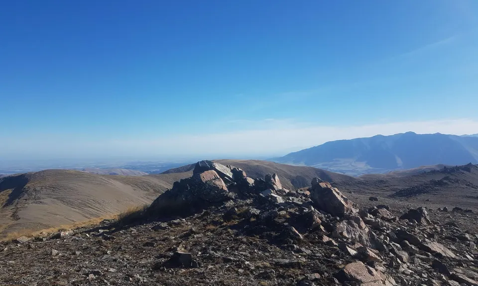
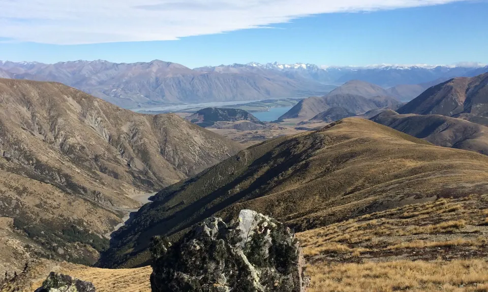
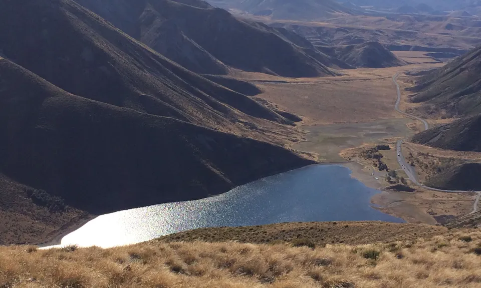
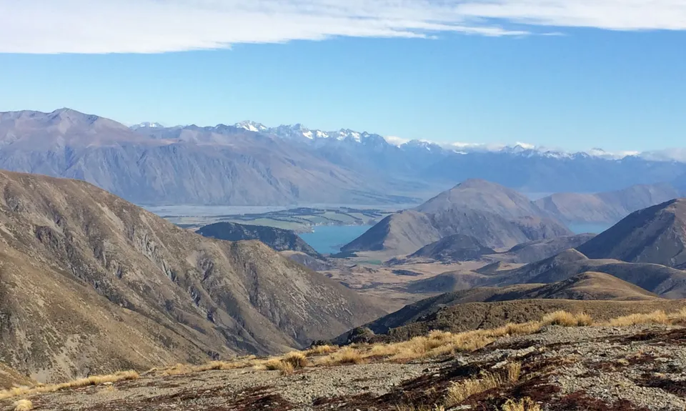
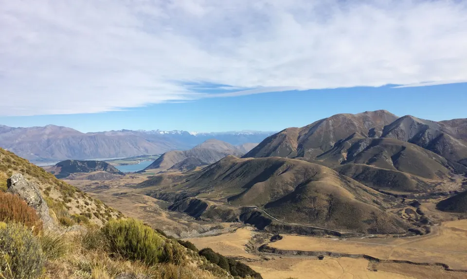
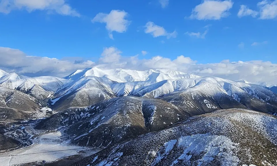
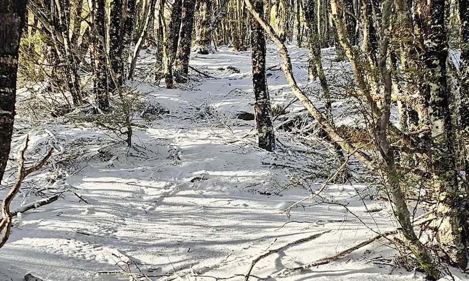
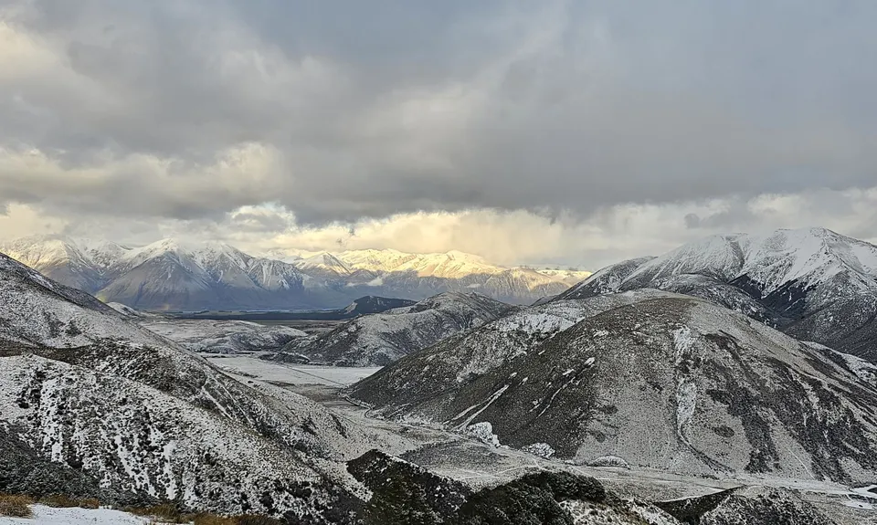
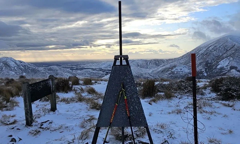
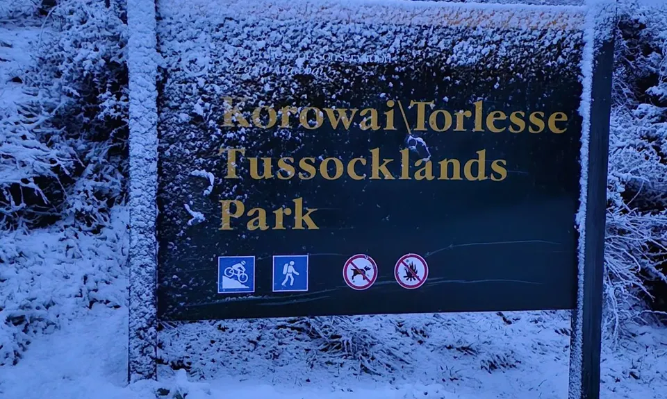
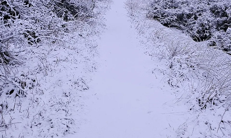
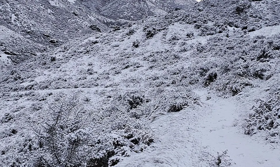
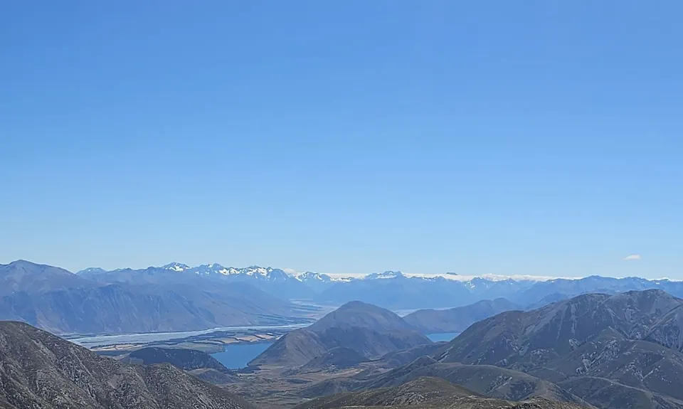
Rabbiting around Benmore
Last Updated: 11th Oct 2024
Open
Grunt Factor: 79 ?
Gnarl Factor: 66 ?
32.0km
2165m
2165m
1655m
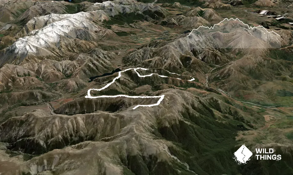
Trail Map
This Topo layer only covers NSW/ACT.
Switch to another map layer when viewing outside this area.
Switch to another map layer when viewing outside this area.