Last Updated: 22nd May 2026
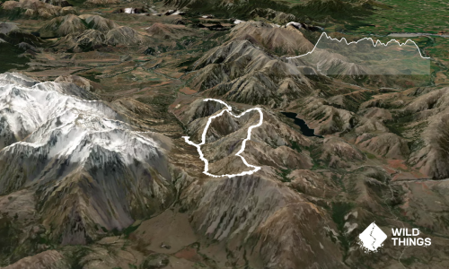
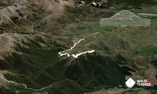
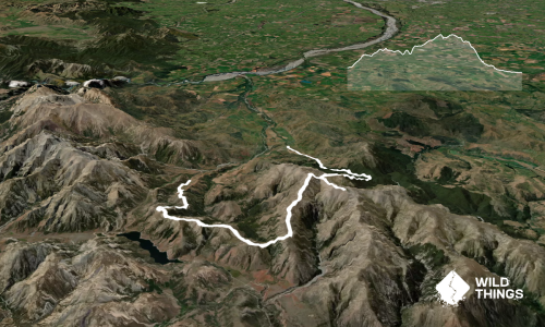
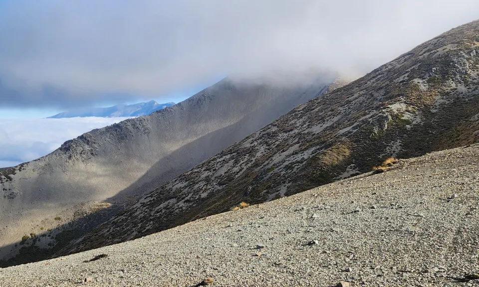
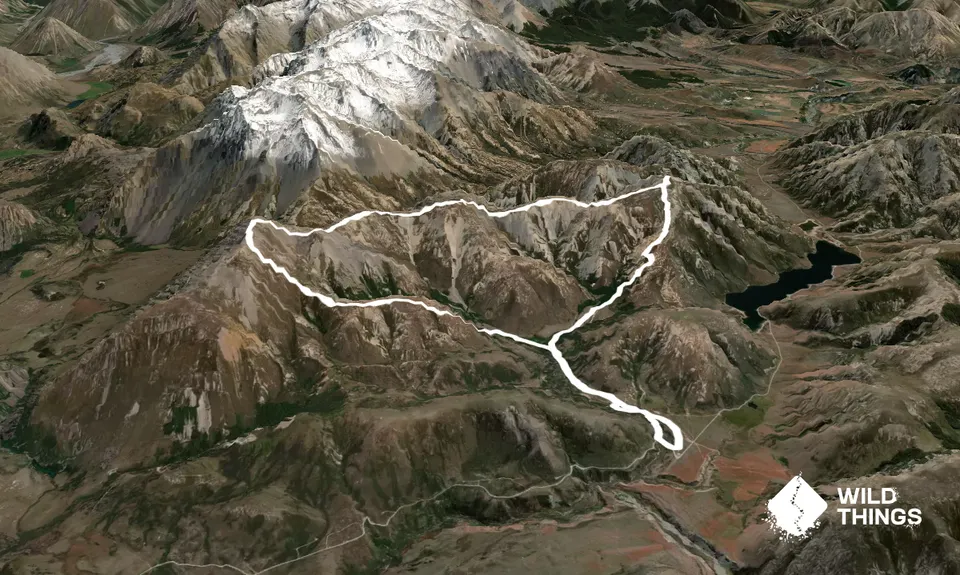
Red Hill to Mt Lyndon Loop
Last Updated: 22nd May 2026
Open
Grunt Factor: 51 ?
Gnarl Factor: 96 ?
16.6km
1410m
1410m
1641m
Trail Map
This Topo layer only covers NSW/ACT.
Switch to another map layer when viewing outside this area.
Switch to another map layer when viewing outside this area.