Last Updated: 9th Mar 2025
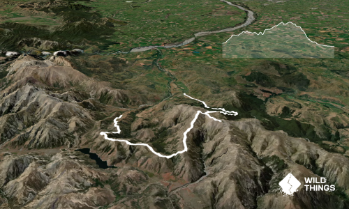
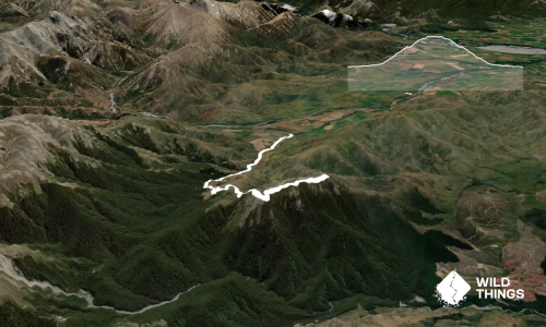
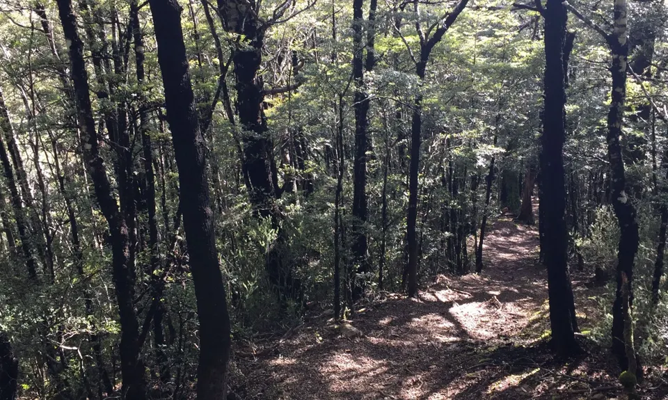
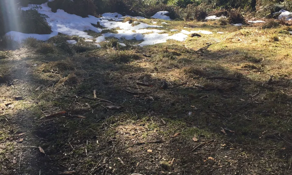
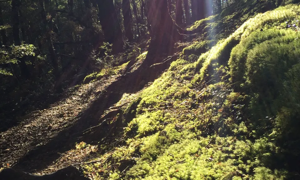
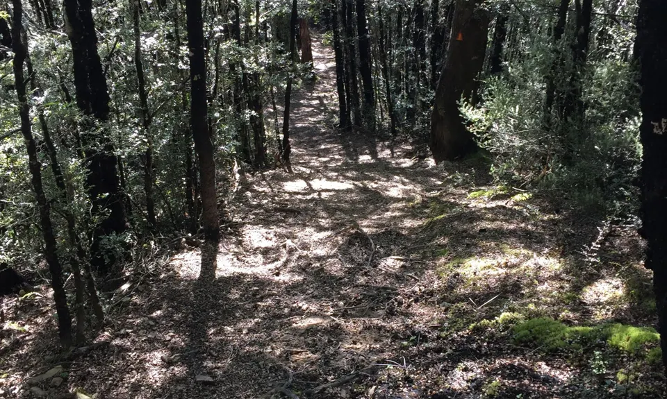
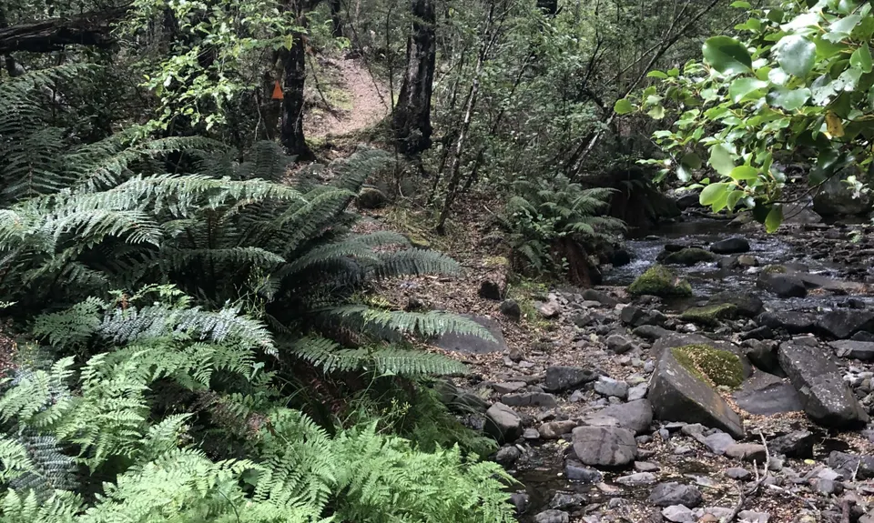
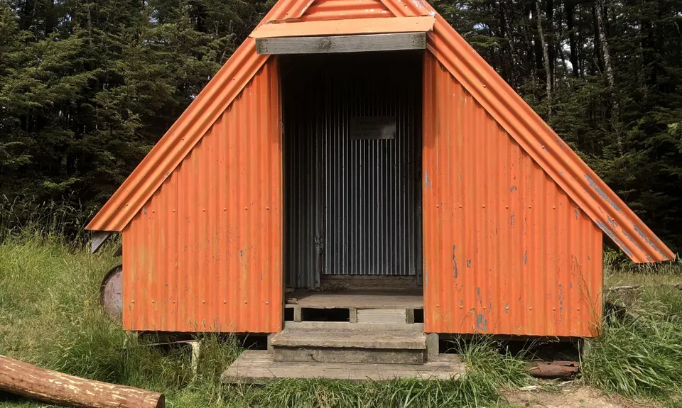
Benmore Hut to the bushline
Last Updated: 9th Mar 2025
Grunt Factor: 36 ?
Gnarl Factor: 59 ?
14.5km
830m
830m
1270m

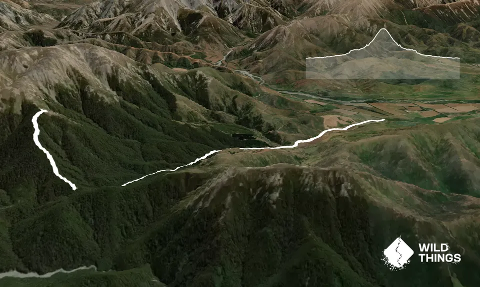
Trail Map
This Topo layer only covers NSW/ACT.
Switch to another map layer when viewing outside this area.
Switch to another map layer when viewing outside this area.