Last Updated: 15th Jul 2024
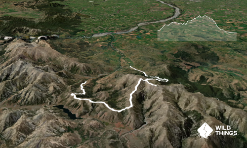
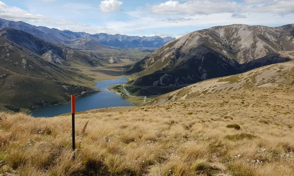
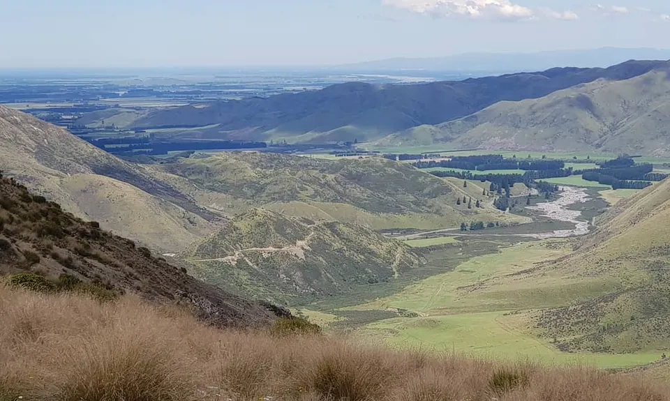
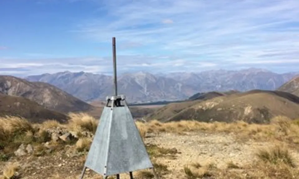
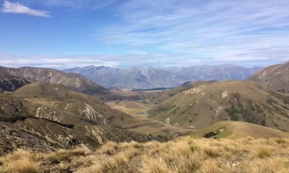
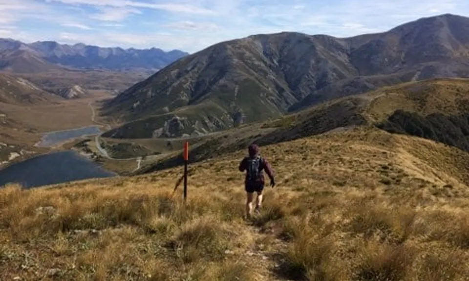
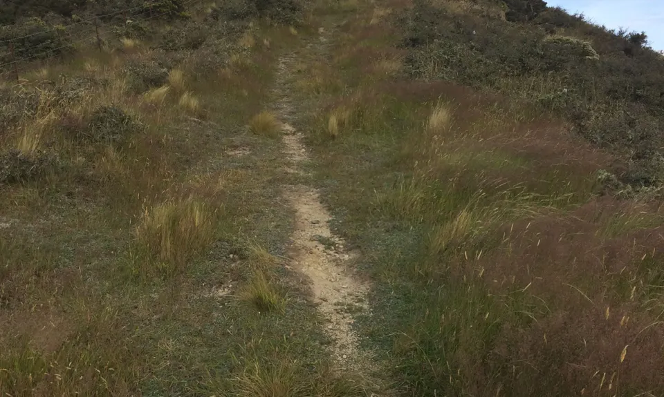
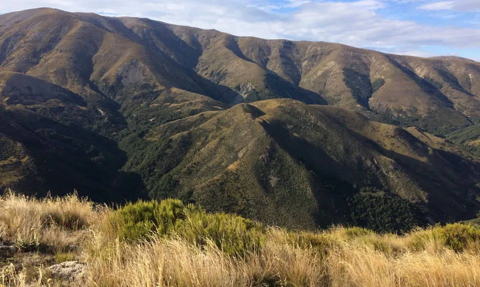
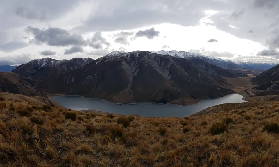
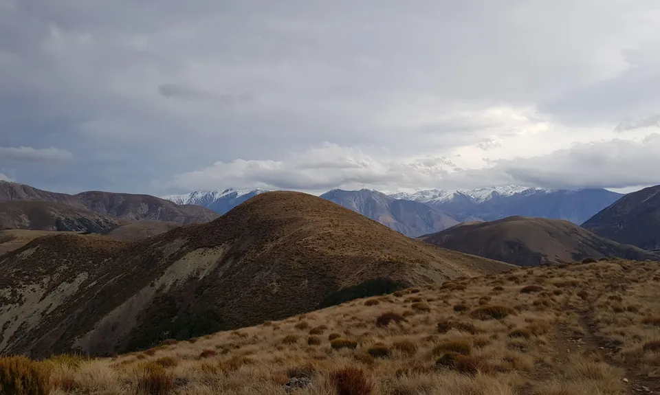
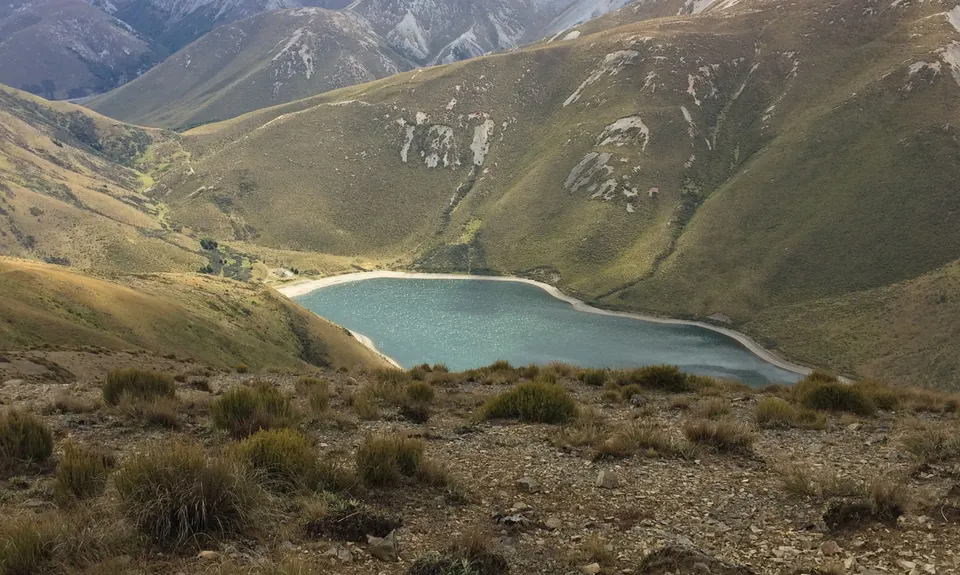
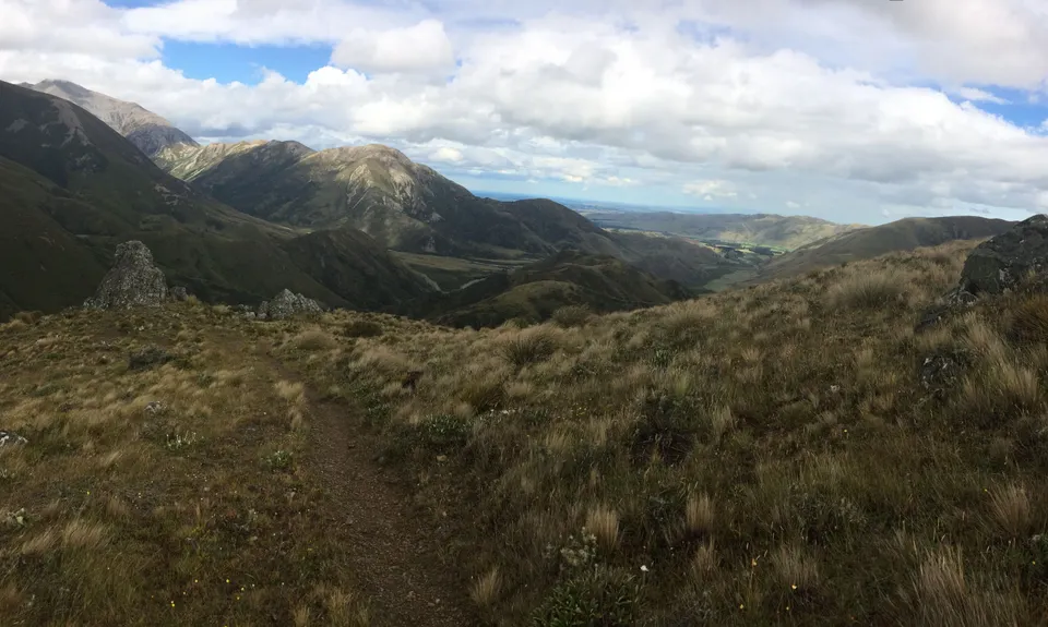
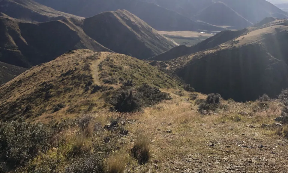
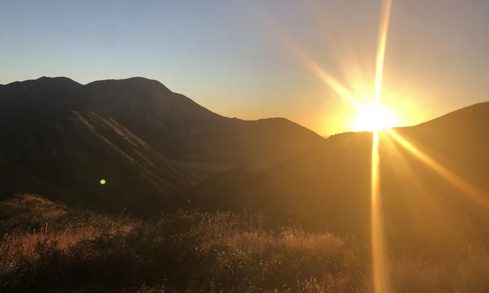
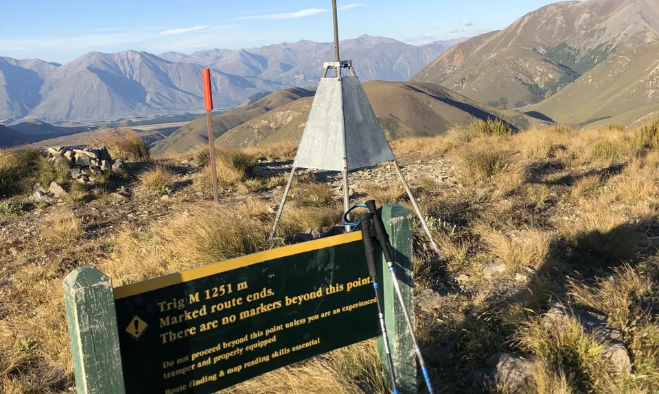
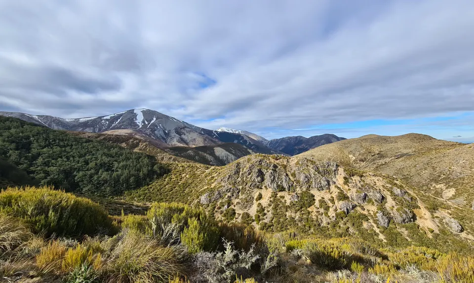
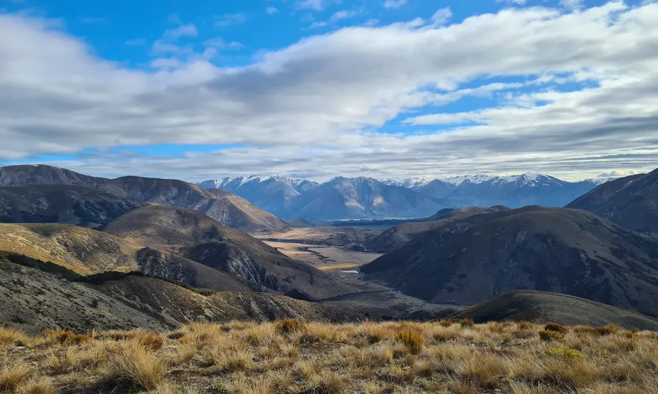
Korowai-Torlesse Roller Coaster
Last Updated: 15th Jul 2024
Open
Grunt Factor: 20 ?
Gnarl Factor: 29 ?
11.5km
765m
765m
1236m
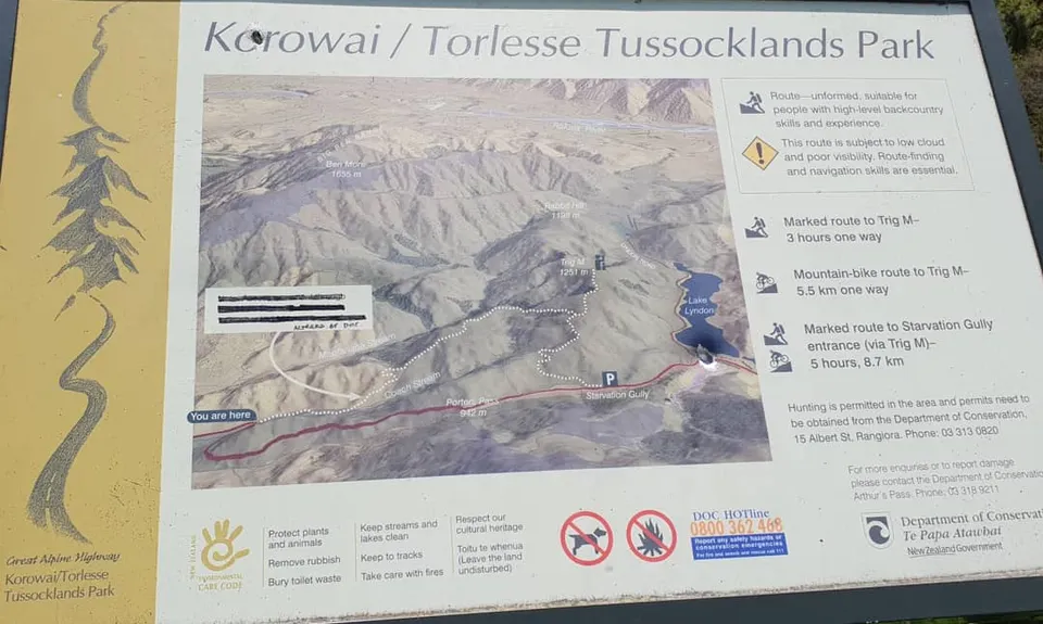

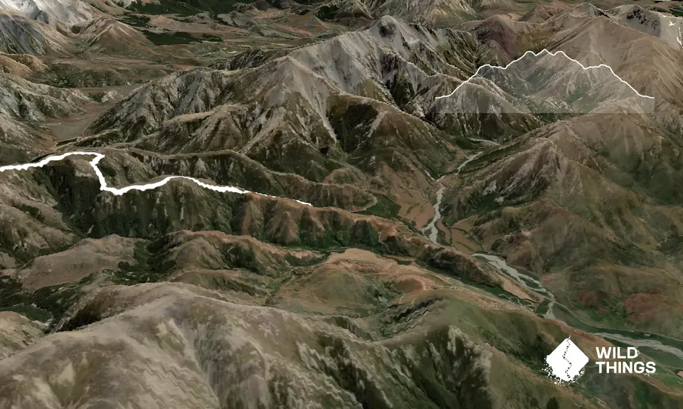
Trail Map
This Topo layer only covers NSW/ACT.
Switch to another map layer when viewing outside this area.
Switch to another map layer when viewing outside this area.