Last Updated: 11th Sep 2026

Beginner - Intermediate

Save Trail Save

I've done it Done

Coal Hill

Submitted by Martin Trvaj

Last Updated: 11th Sep 2026

Beginner - Intermediate

Save Trail Save

I've done it Done

Open

Grunt Factor: 34 ?

Gnarl Factor: 62 ?

10.6km

1610m

1610m


Become a VIP to see driving directions, distance and time.

Trail Map

This Topo layer only covers NSW/ACT.
Switch to another map layer when viewing outside this area.

Type of Run

Front country - easily accessible

Out and Back

Undulating, some big hills

Open farmlands

Open ridges/tops

Run Makeup

15%
85%

Easy Single Track

Moderate Single Track

Average Uphill Gradient: +30.30%

Average Downhill Gradient: -30.30%

Garmin Course

VIP Feature: Send this route to your Garmin account so you can follow the course on your Garmin device.

Send to Garmin

Learn about sending to Garmin.

Trailhead

Become a VIP Member to see the trailhead information.

Estimated Times to Run

4:00

Slow

3:00

Moderate

2

Fast

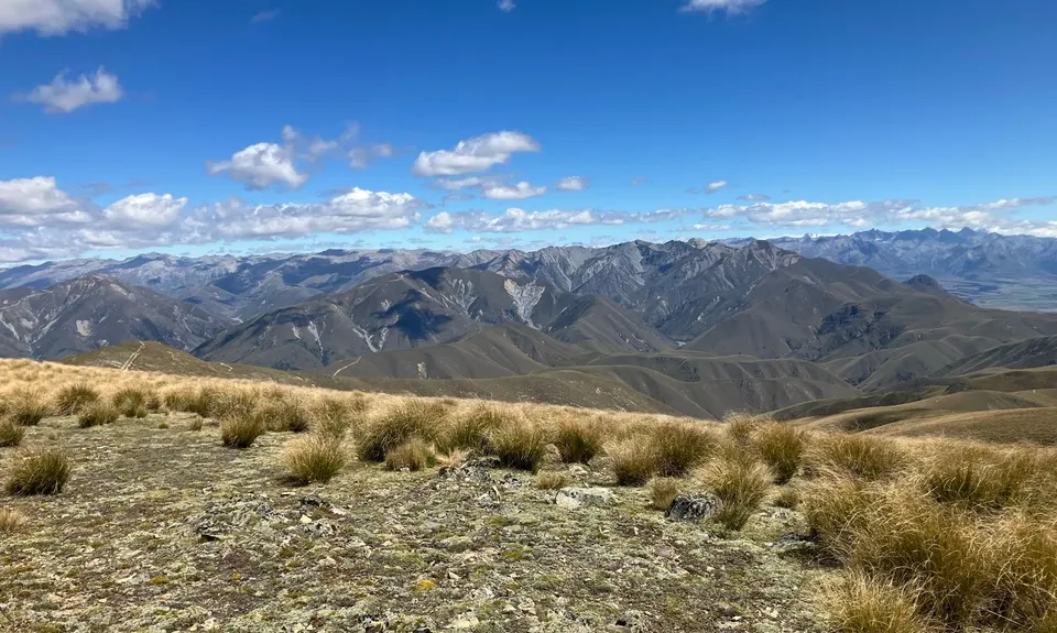
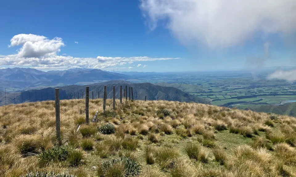
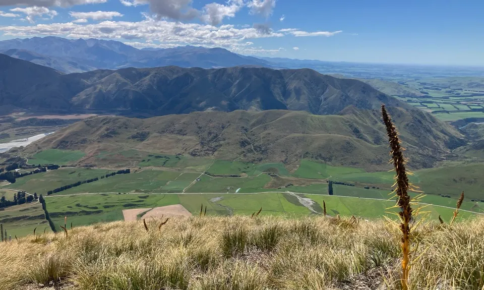
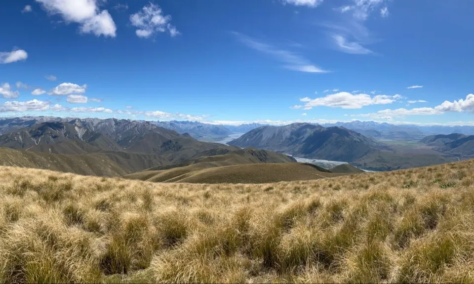
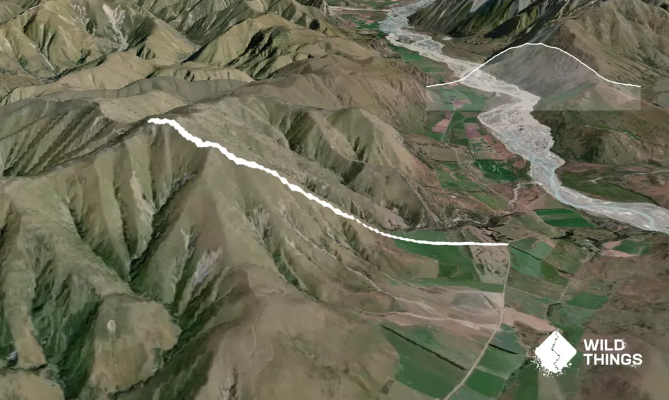
The track begins with a flat section through paddocks, then becomes steeper as it climbs through tussock and speargrass. Most of the route is on private land, following a high fence. The Coal Hill Track climbs 1100m to the summit of Coal Hill (1617m), offering stunning views of the surrounding mountains and the Rangitata River. Return the same way.

This trail includes the peak Coal Hill.

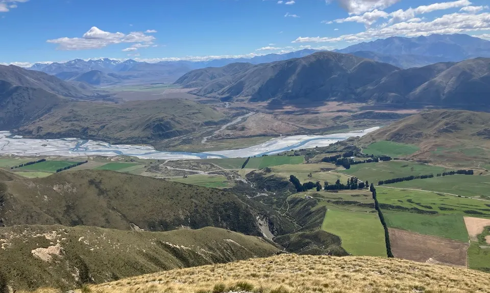
Stunning views of the surrounding mountains and the Rangitata River.

None.

A few parking spots available.

24 km

31 minutes

No

Easy.

Follow the fence

Patchy.

Lightweight fleece top, Short-sleeved thermal top, Long-sleeved thermal top, Seam-sealed waterproof jacket, Windproof jacket, Gloves, Beanie/thermal headwear, Whistle, First aid kit, Extra food for emergencies, Cellphone, Map, Headtorch and spare batteries, Crampons / microspikes (for winter conditions)

None.

Muddy, slippery, snow in winter.

muddy, slippery, snow in winter, can be really windy!!!

The information provided is a guide only. Conditions, access and hazards can change, so use your own judgement and check current local information before heading out. Make sure the route or location is suitable for your experience, fitness and equipment, and check any access restrictions or permissions that may apply.

Do you have a suggestion on where to go afterwards for the best coffee / cake / breakfast / brunch / beer?

You and Coal Hill

As a VIP member you can record private notes for this trail, see all of your times and more.

Become a Member

Already have an account? Login now

Trail Reviews

Be the first to submit a review for Coal Hill !

Login to submit a review

Trail Running Community

Find people who are interested in or have completed this trail run.

You must register or login to view this feature.

Register Now

Other trails nearby
Mount Pukanui and Mount Tripp loop

Mount Pukanui and Mount Tripp loop

Length: 30.3km

Level: Intermediate

Distance Away: 6.7km

Clent Eastward in “Barrosa”

Clent Eastward in “Barrosa”

Length: 26.3km

Level: Intermediate - Experienced

Distance Away: 13.2km

Mt Barrosa Burn

Mt Barrosa Burn

Length: 7.0km

Level: Beginner - Intermediate

Distance Away: 13.4km

Roundabout Emma

Roundabout Emma

Length: 15.0km

Level: Beginner

Distance Away: 16.1km

Find more trails and peaks nearby

Wild Things
Wild Things
Explore more

Plan smarter, stay motivated, track your progress, and unlock the full Wild Things experience — while saving along the way.