Last Updated: 27th Apr 2025
Big Mt Peel
Last Updated: 27th Apr 2025
Open
Grunt Factor: 74 ?
Gnarl Factor: 89 ?
23.7km
1990m
1990m
1743m


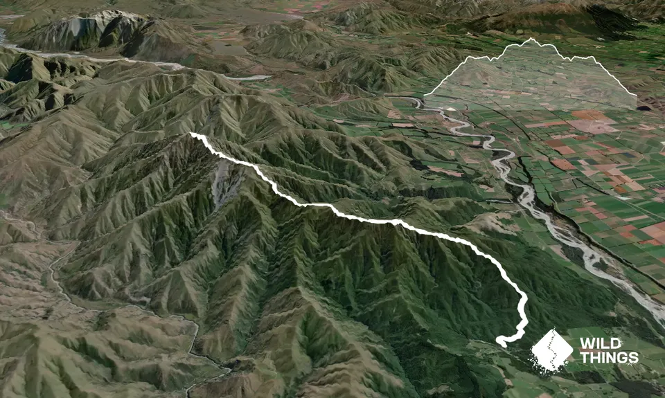
Trail Map
This Topo layer only covers NSW/ACT.
Switch to another map layer when viewing outside this area.
Switch to another map layer when viewing outside this area.


