Last Updated: 17th Sep 2025
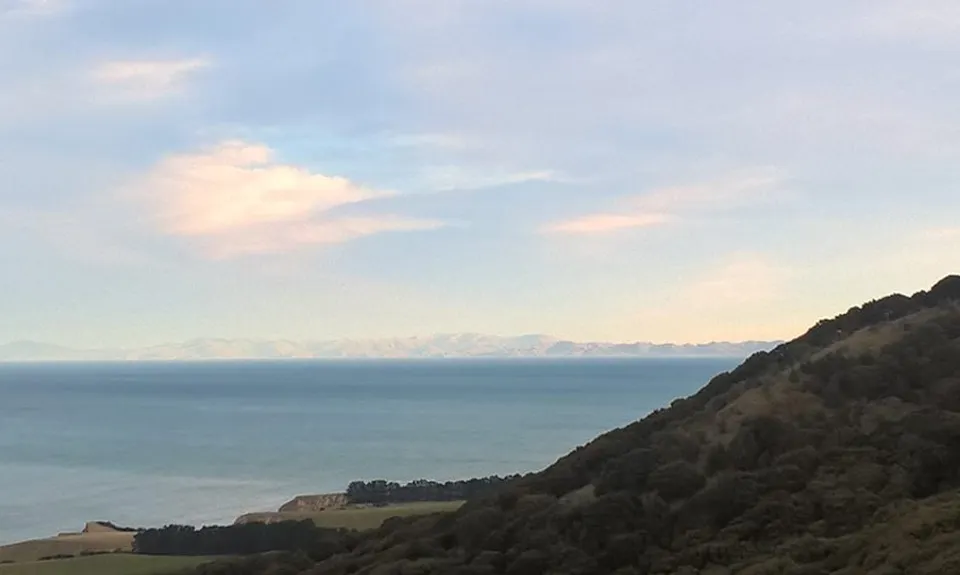
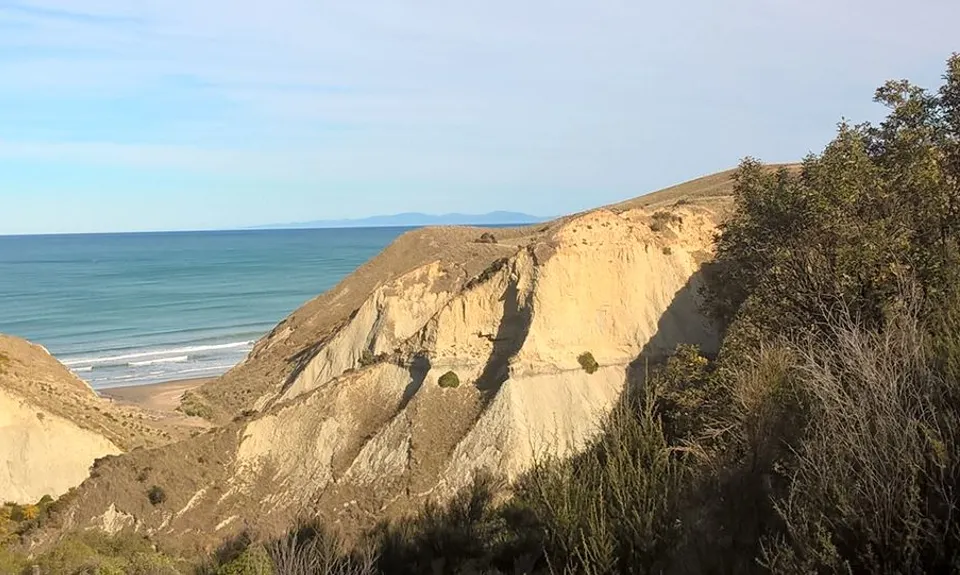
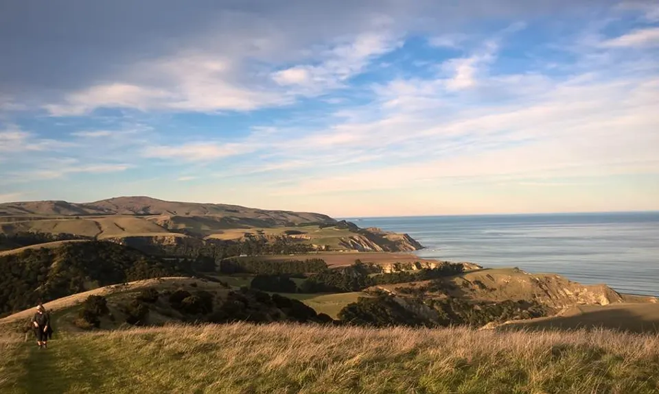
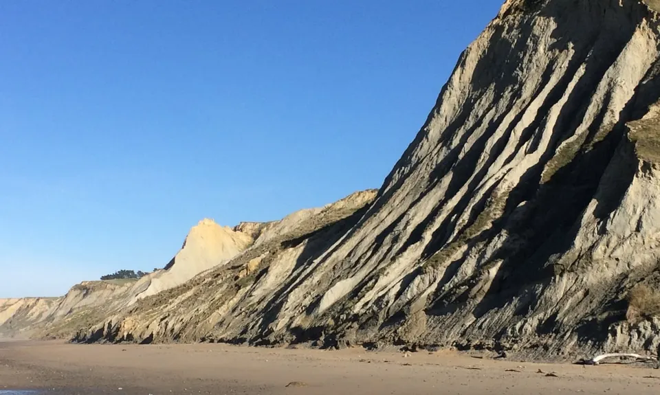
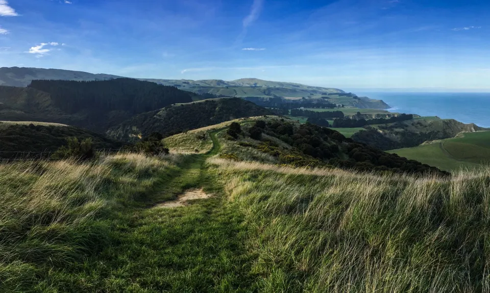
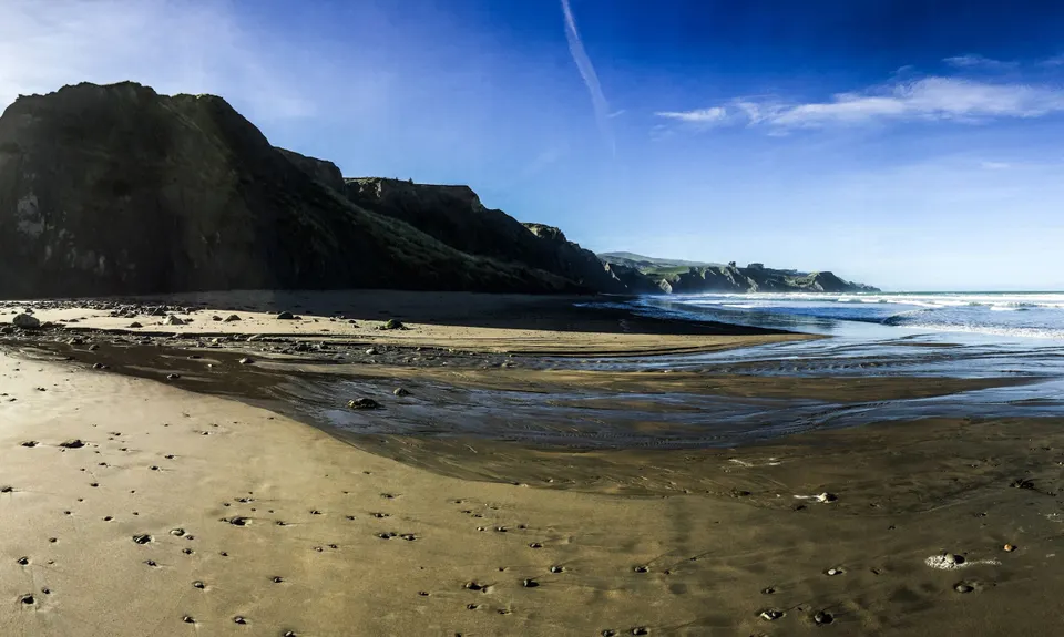
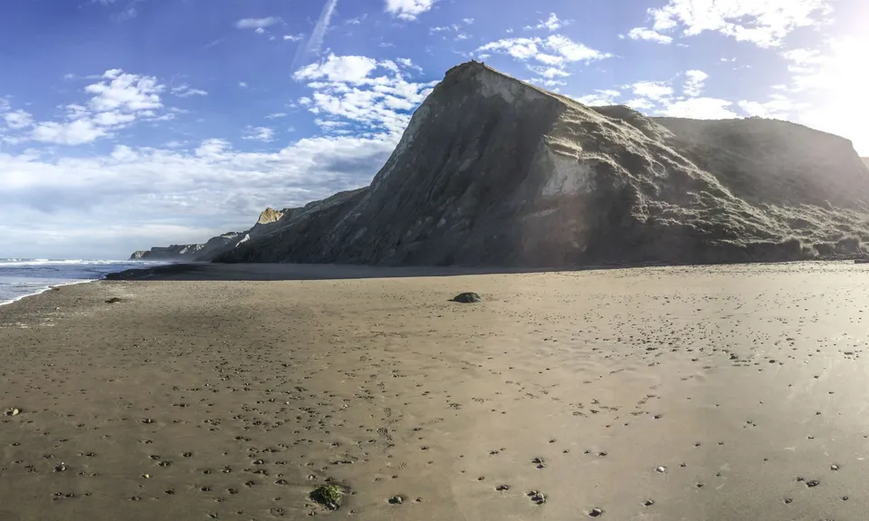
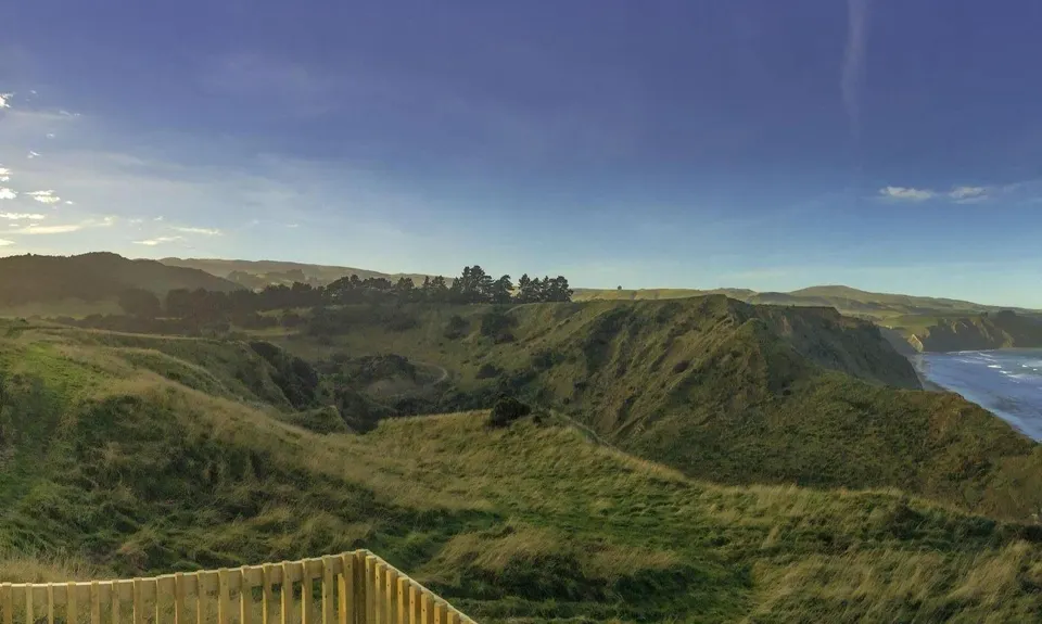
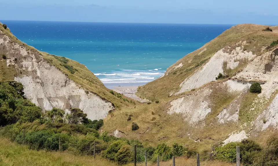
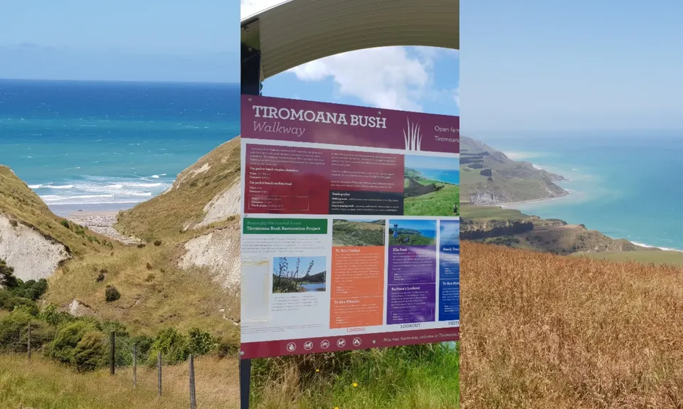
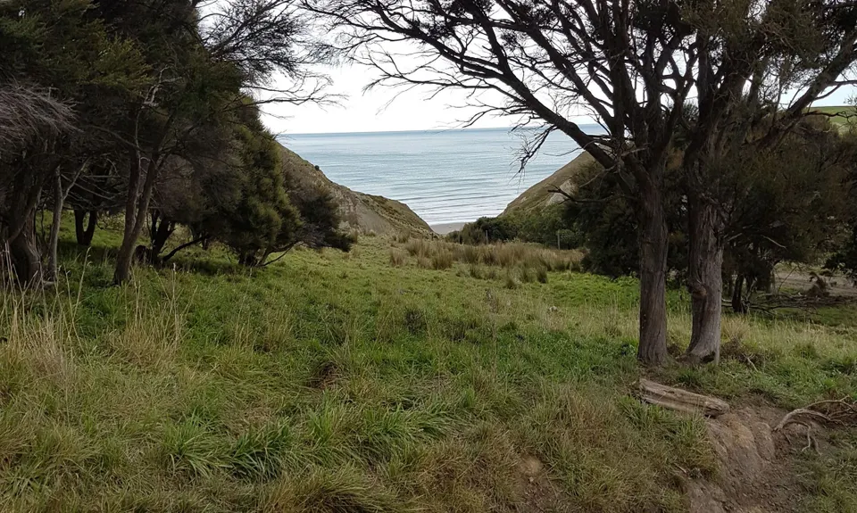
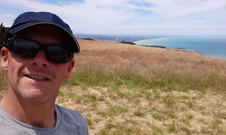
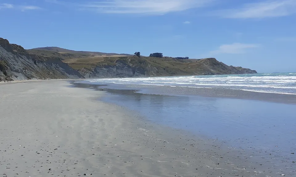
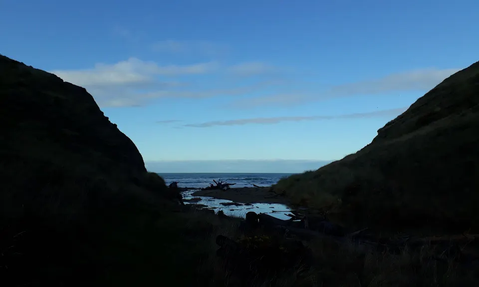
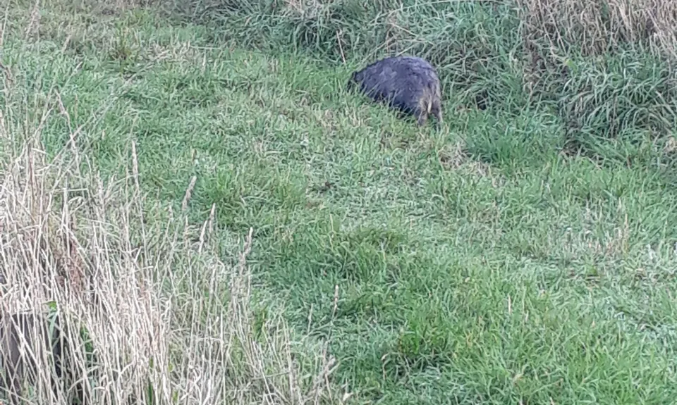
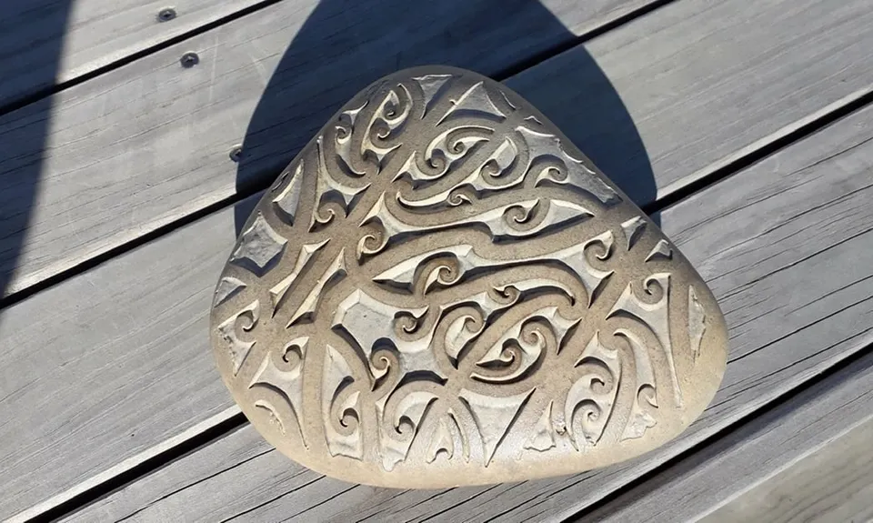
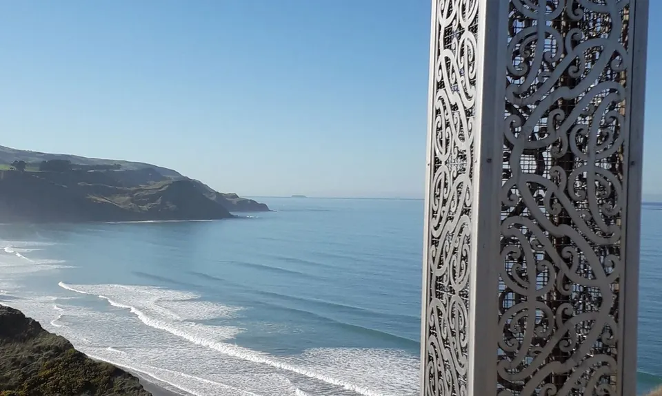
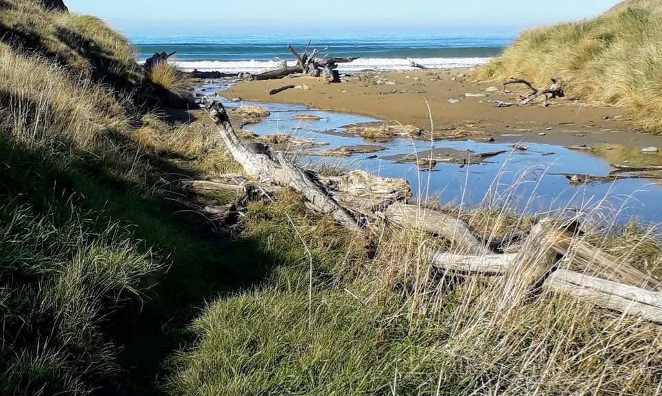
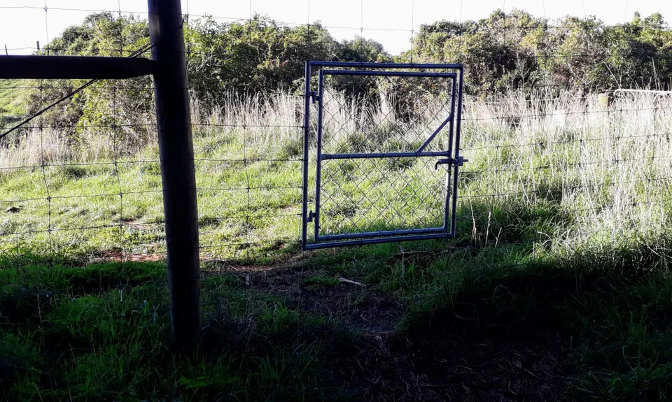
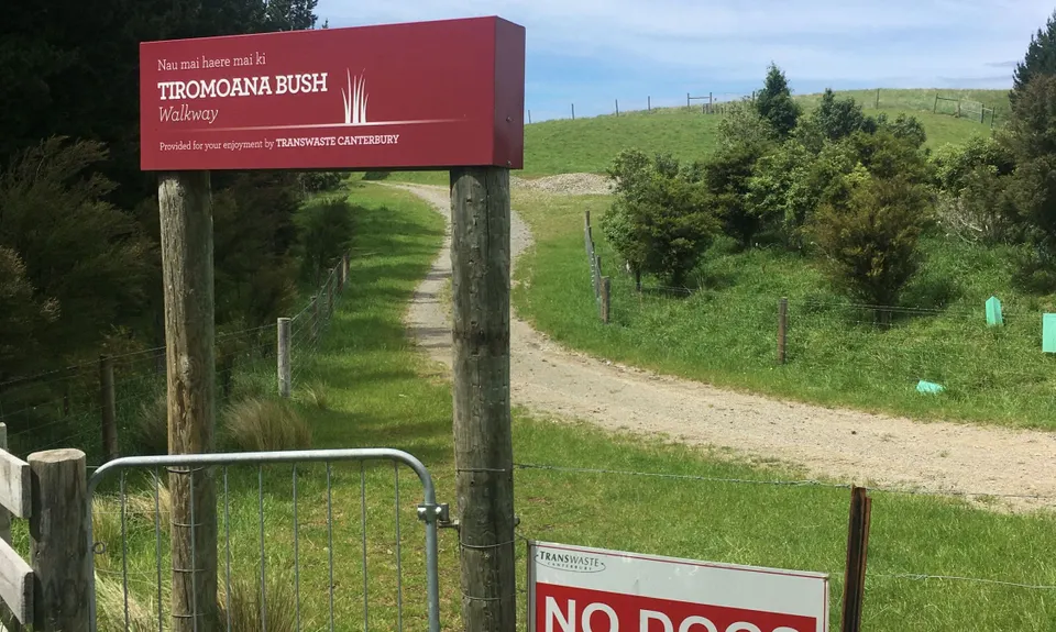
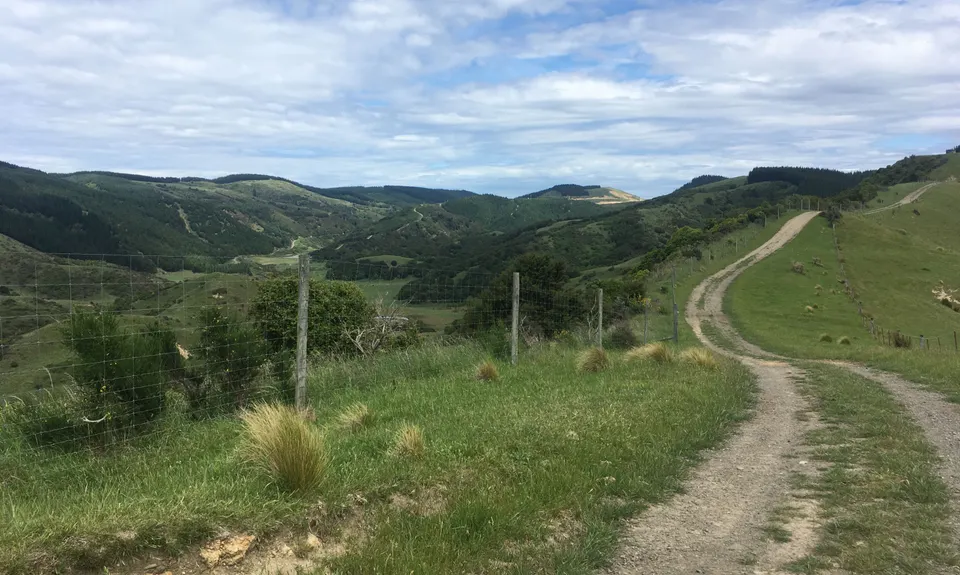
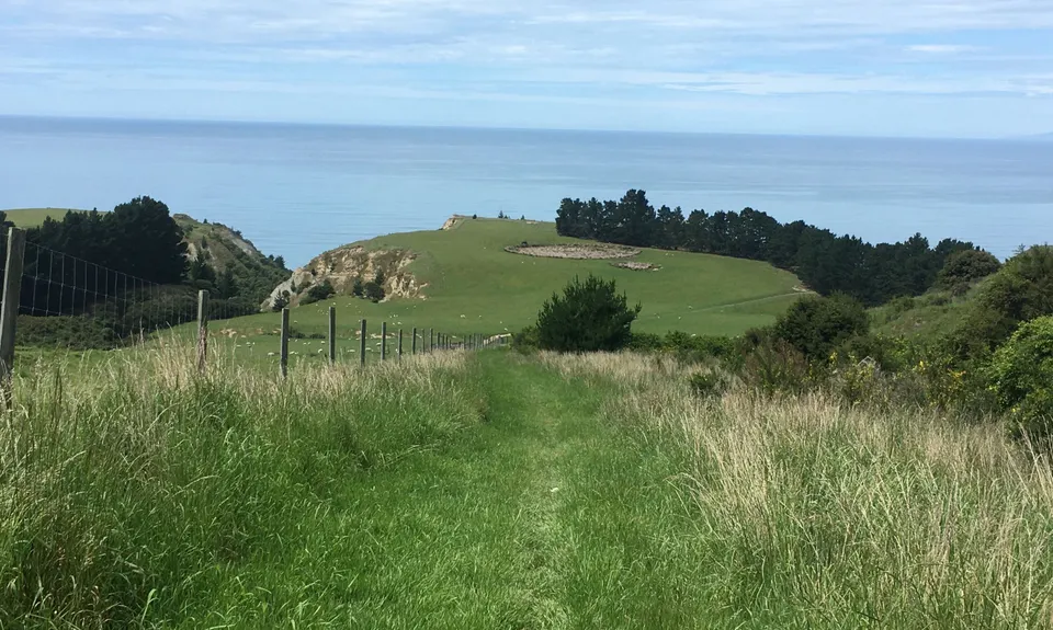
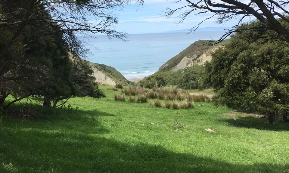
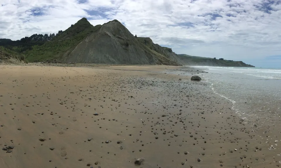
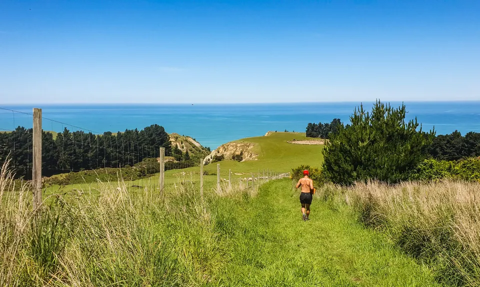
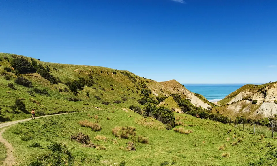
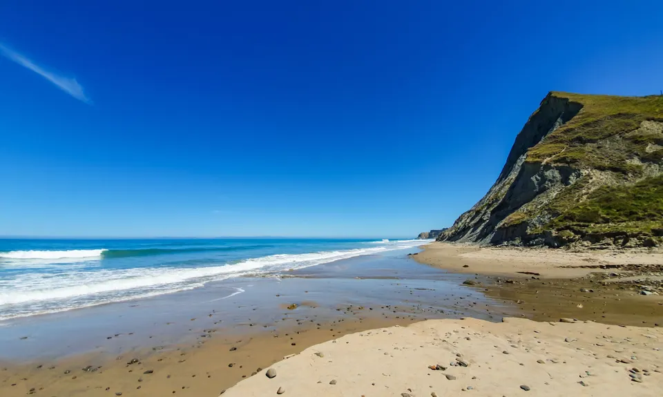
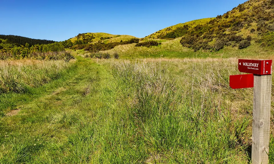
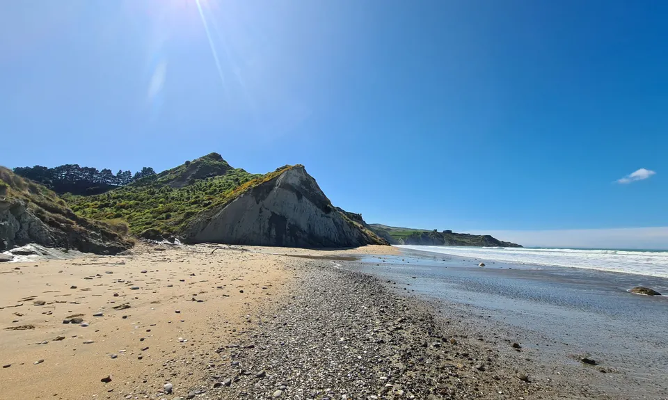
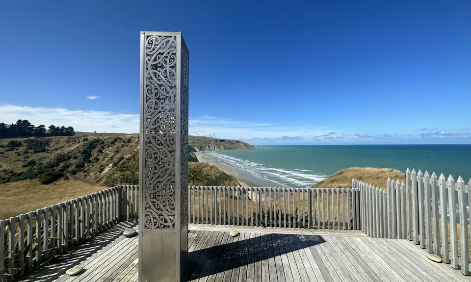
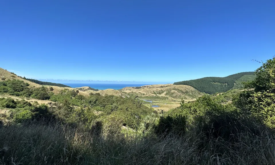
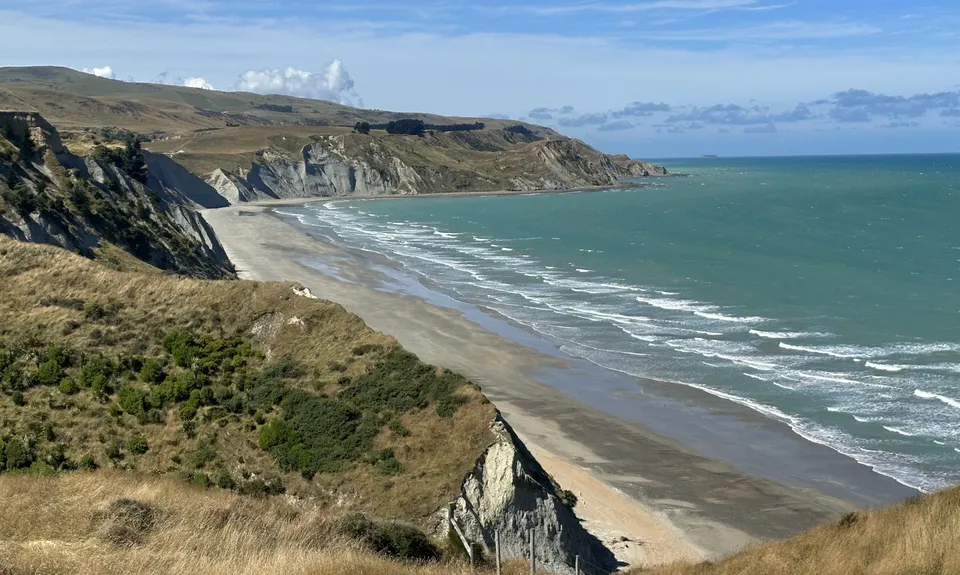
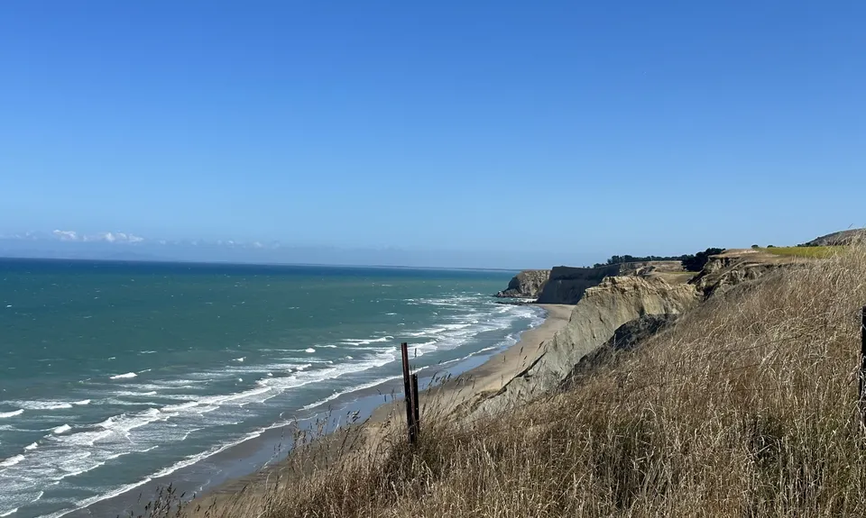
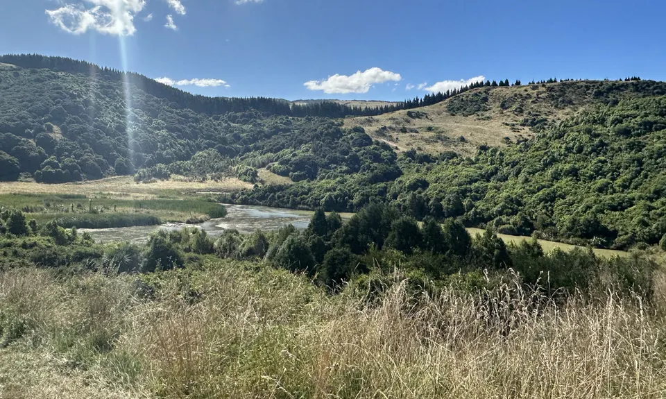
Tiromoana Track
Last Updated: 17th Sep 2025
Open
Grunt Factor: 13 ?
Gnarl Factor: 14 ?
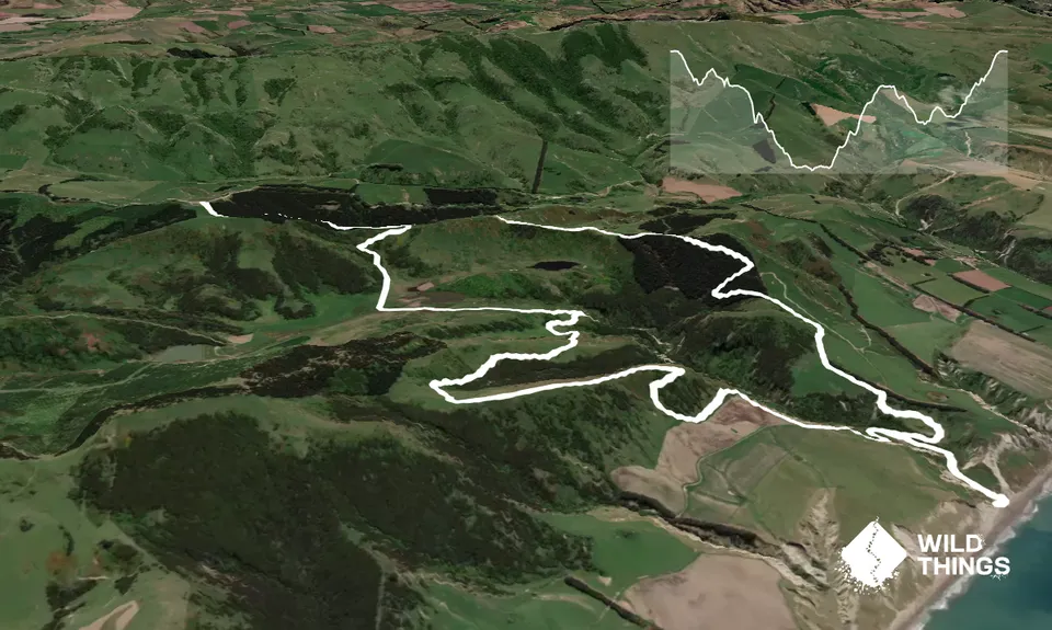
10.6km
330m
330m
250m
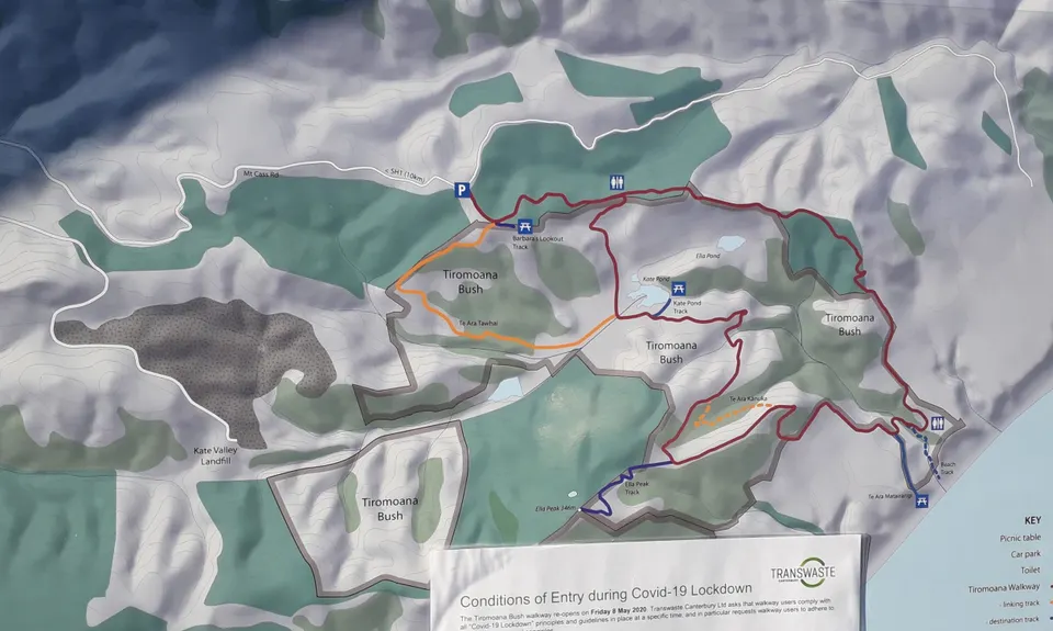
Trail Map
This Topo layer only covers NSW/ACT.
Switch to another map layer when viewing outside this area.
Switch to another map layer when viewing outside this area.


