Last Updated: 4th Nov 2025
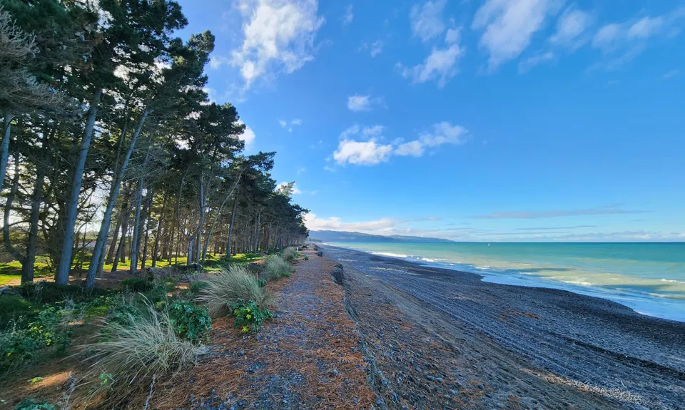
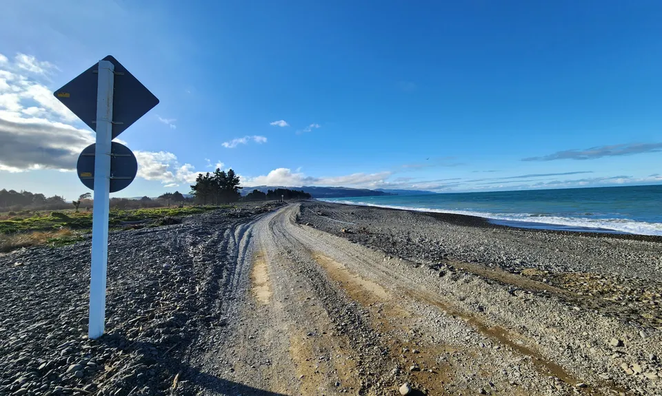
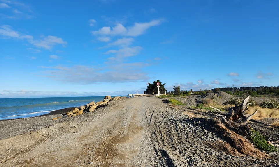
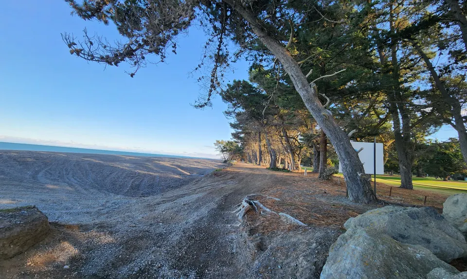
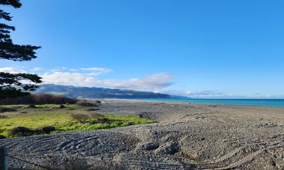
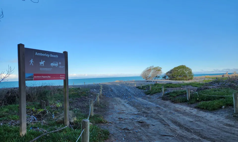
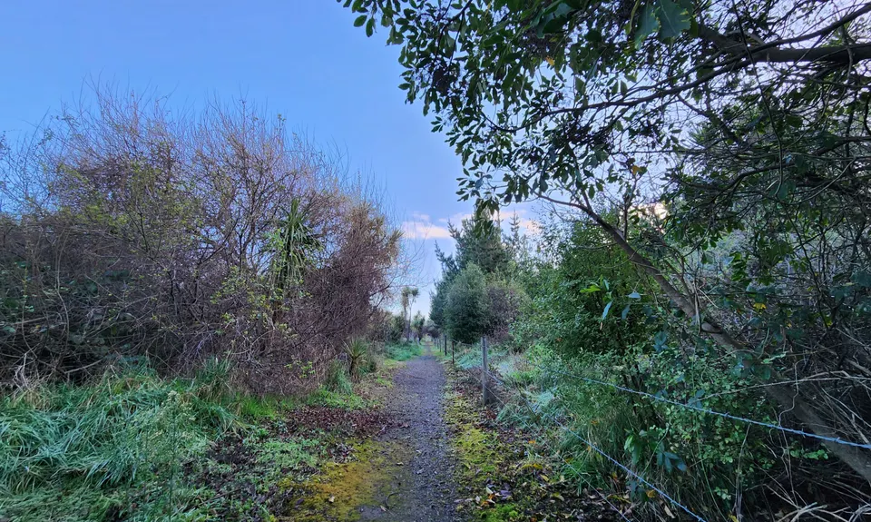
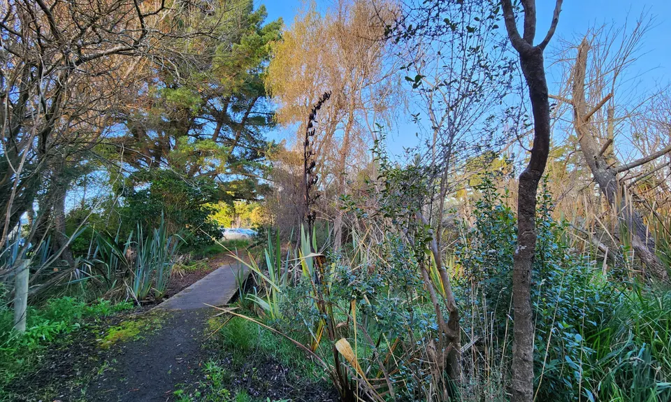
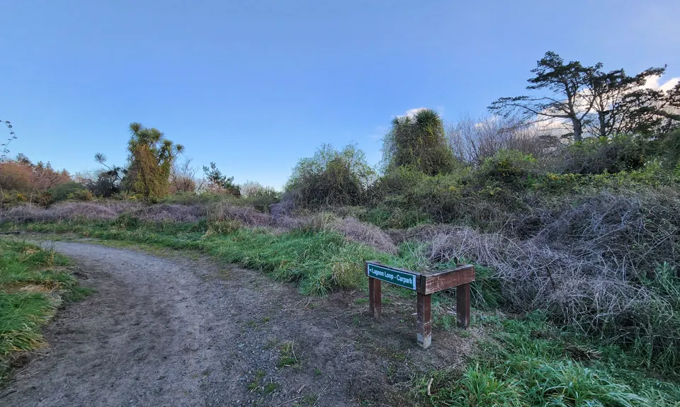
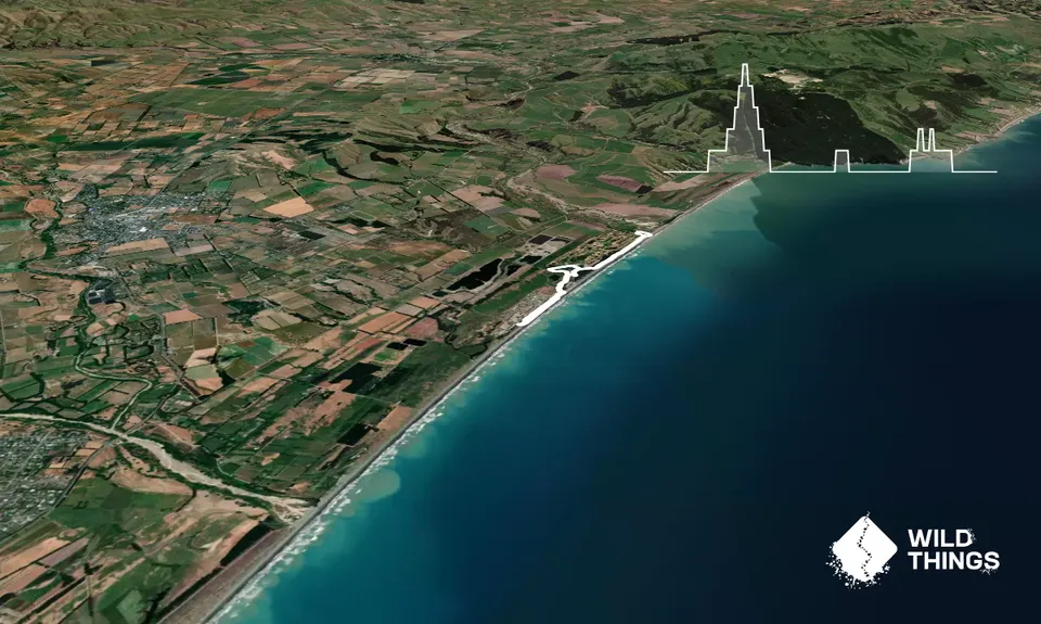
Amberley Beach, Wetlands Walkway to Waipara River Reserve
Last Updated: 4th Nov 2025
Open
Grunt Factor: 5 ?
Gnarl Factor: 8 ?
6.2km
20m
20m
3m

Trail Map
This Topo layer only covers NSW/ACT.
Switch to another map layer when viewing outside this area.
Switch to another map layer when viewing outside this area.


