Last Updated: 8th Jul 2024
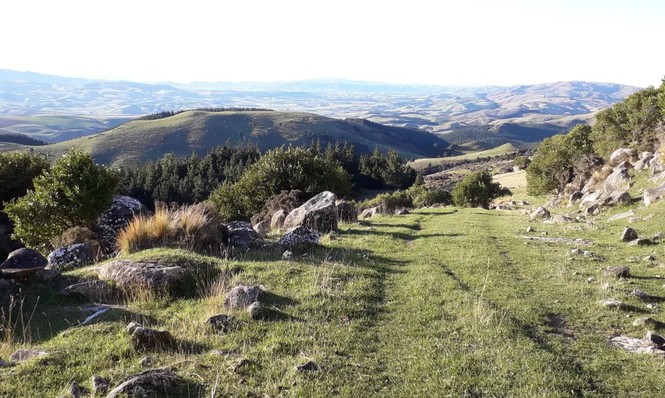
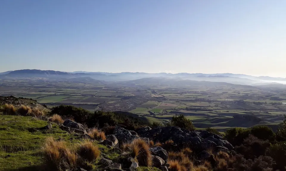
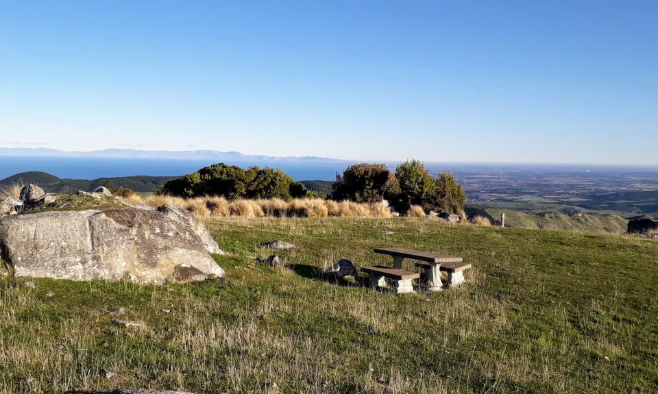
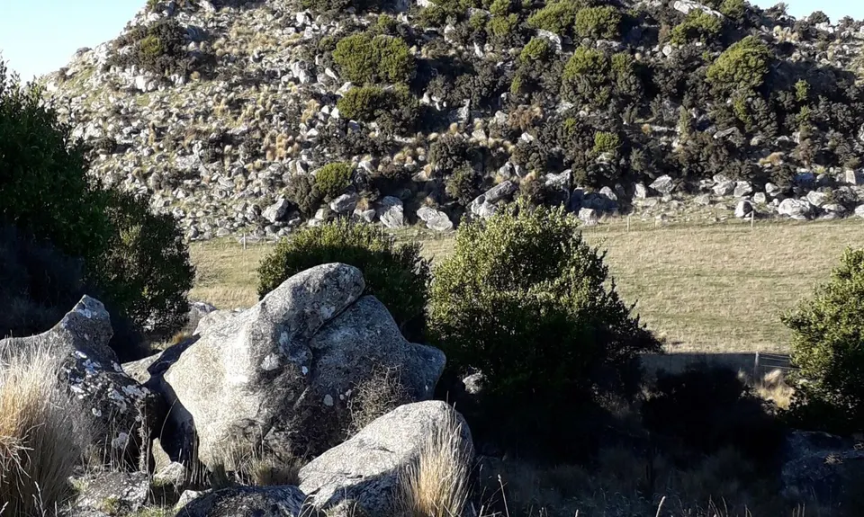
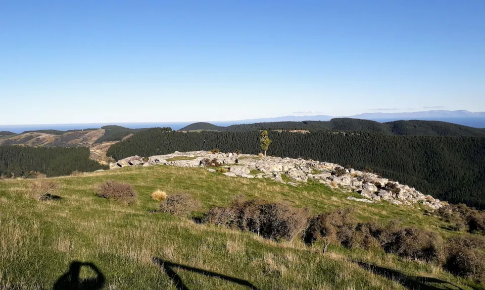
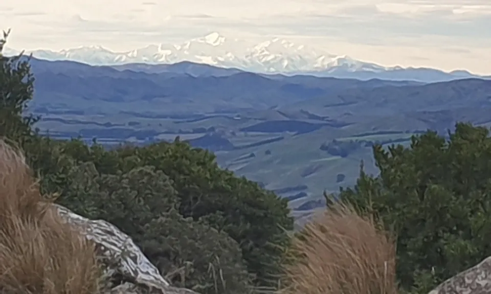
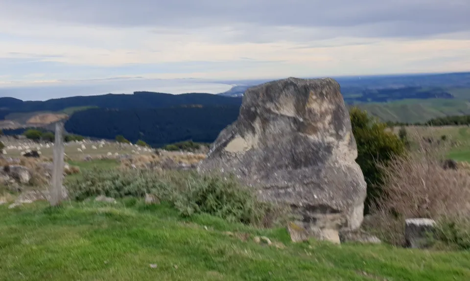
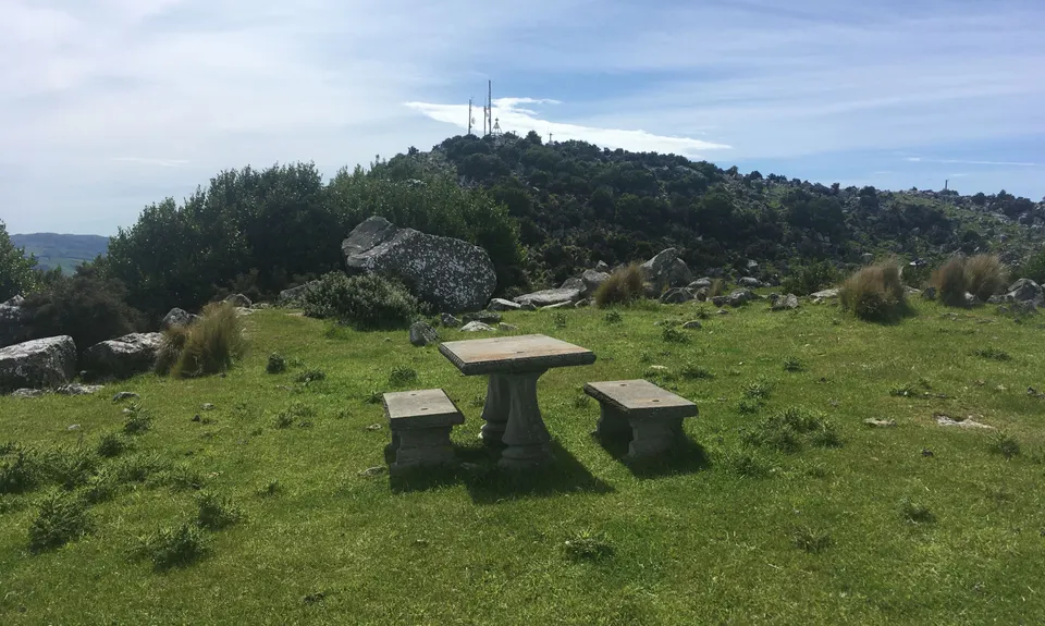
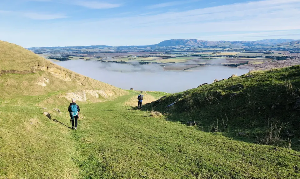
Mt Cass Clamber
Last Updated: 8th Jul 2024
Grunt Factor: 11 ?
Gnarl Factor: 11 ?
7.4km
390m
390m
487m
.jpg)
_8b22214d.jpg)
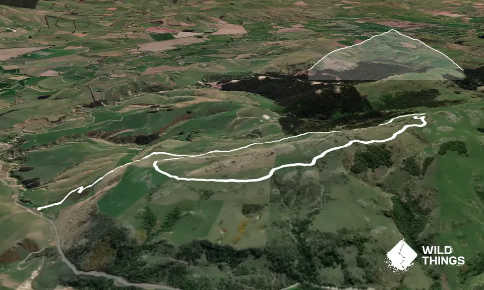
Trail Map
This Topo layer only covers NSW/ACT.
Switch to another map layer when viewing outside this area.
Switch to another map layer when viewing outside this area.


