Last Updated: 3rd Jun 2026
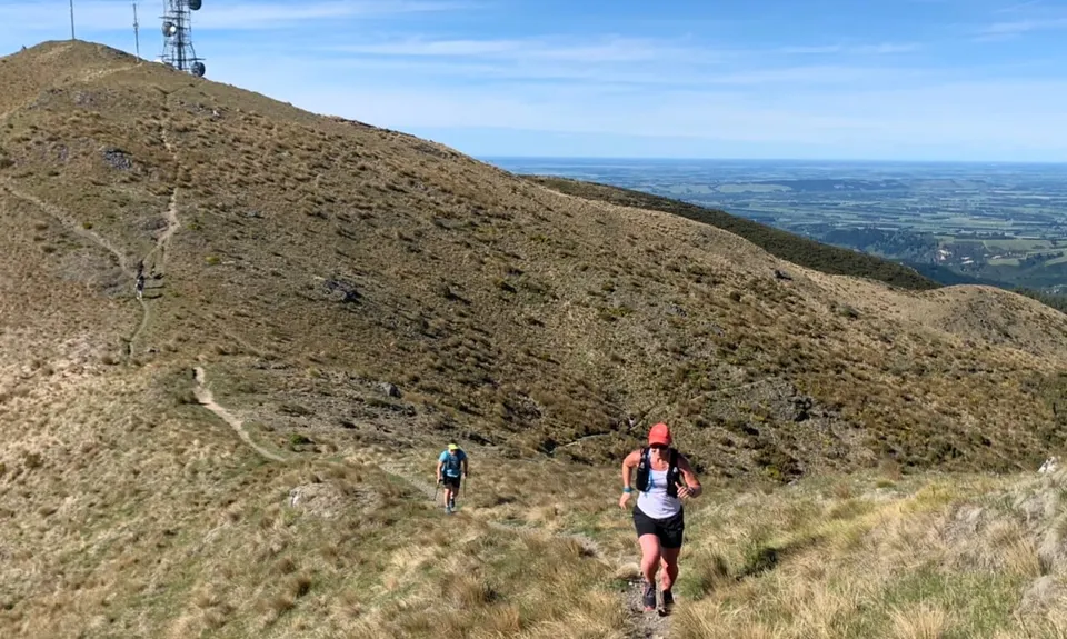
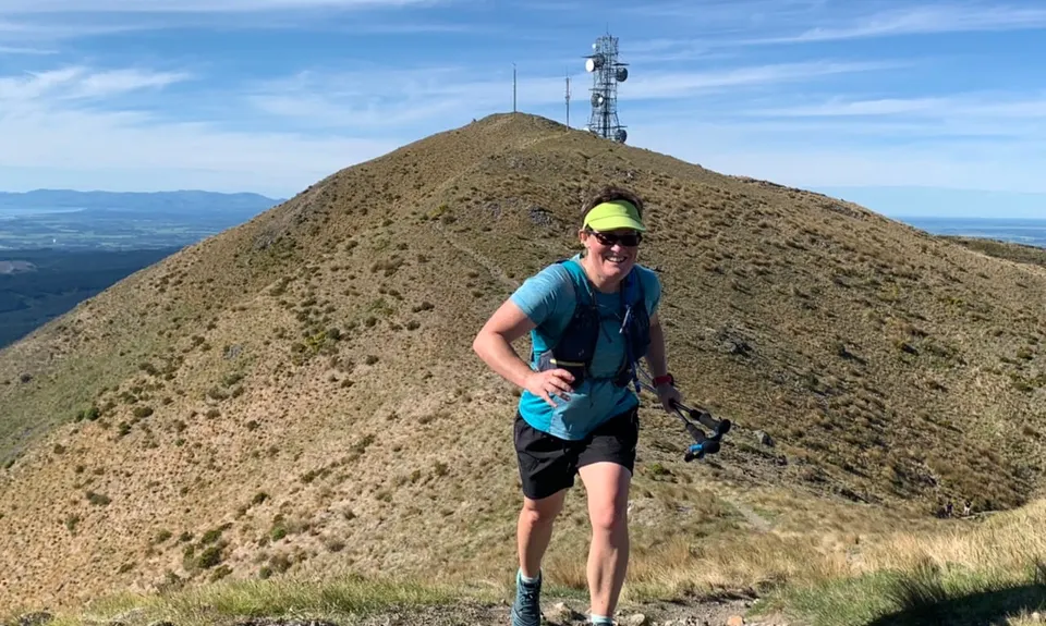
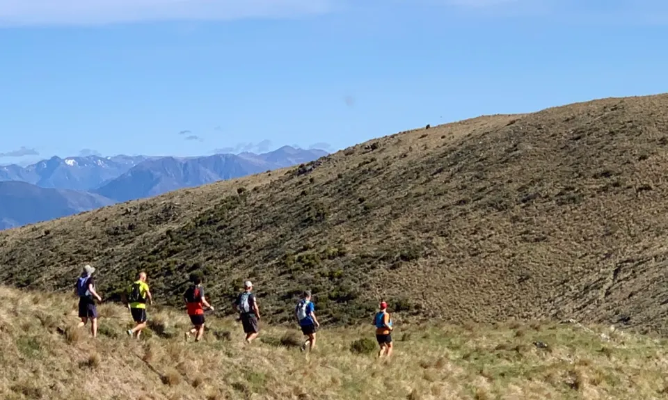
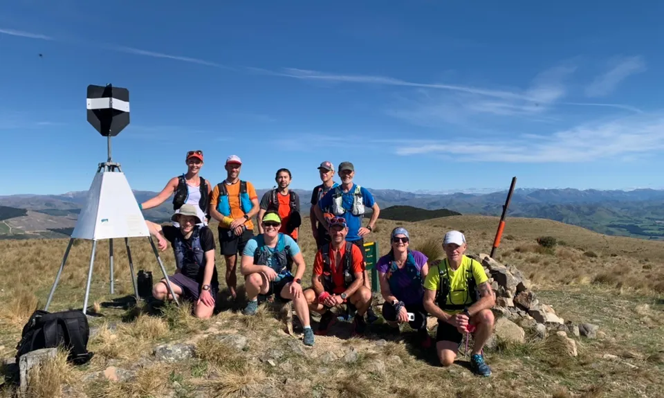
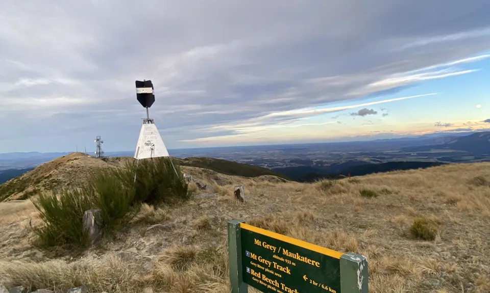
Mt Grey
Last Updated: 3rd Jun 2026
Open
Grunt Factor: 24 ?
Gnarl Factor: 45 ?
14.0km
770m
770m
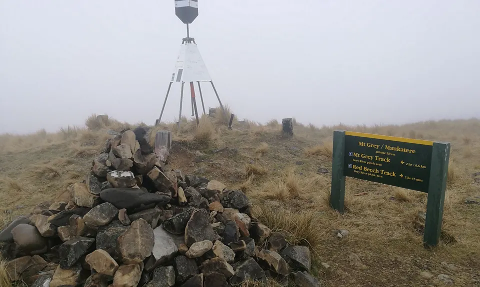
934m
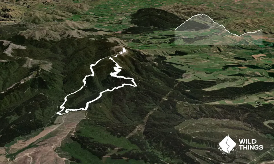
Trail Map
This Topo layer only covers NSW/ACT.
Switch to another map layer when viewing outside this area.
Switch to another map layer when viewing outside this area.


