Last Updated: 3rd Jun 2026
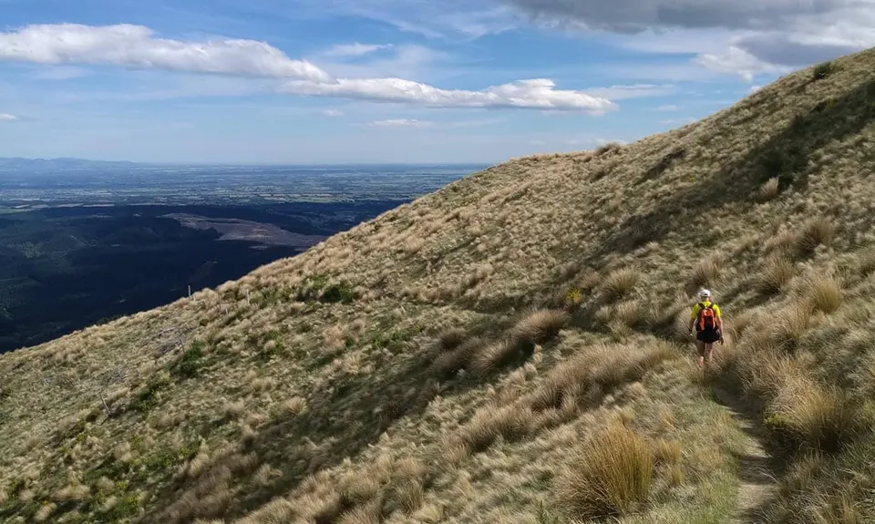
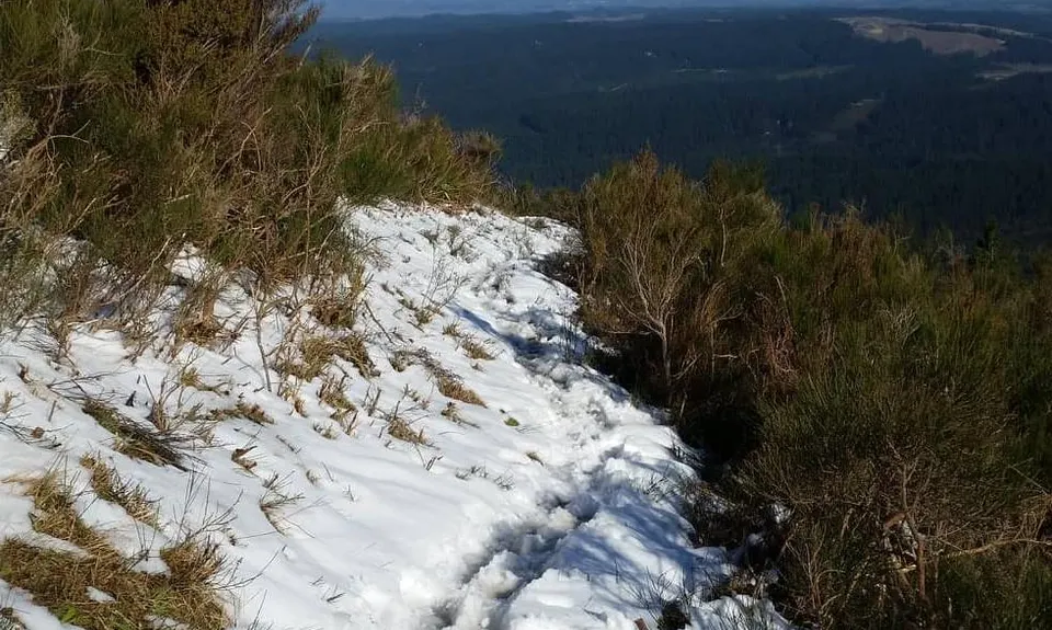
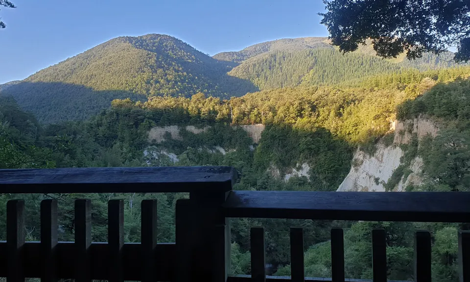
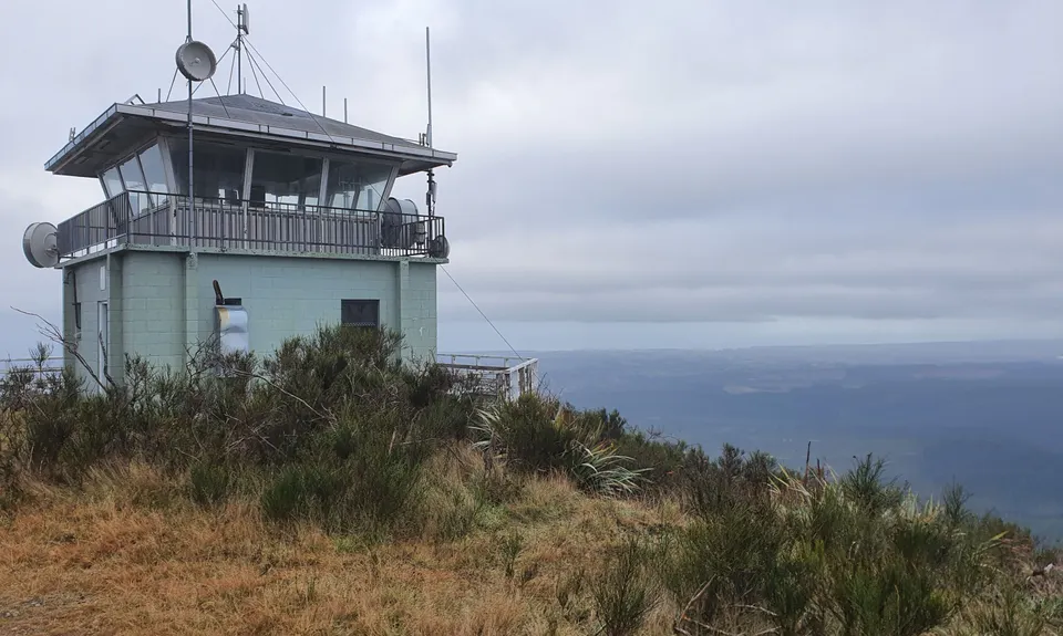
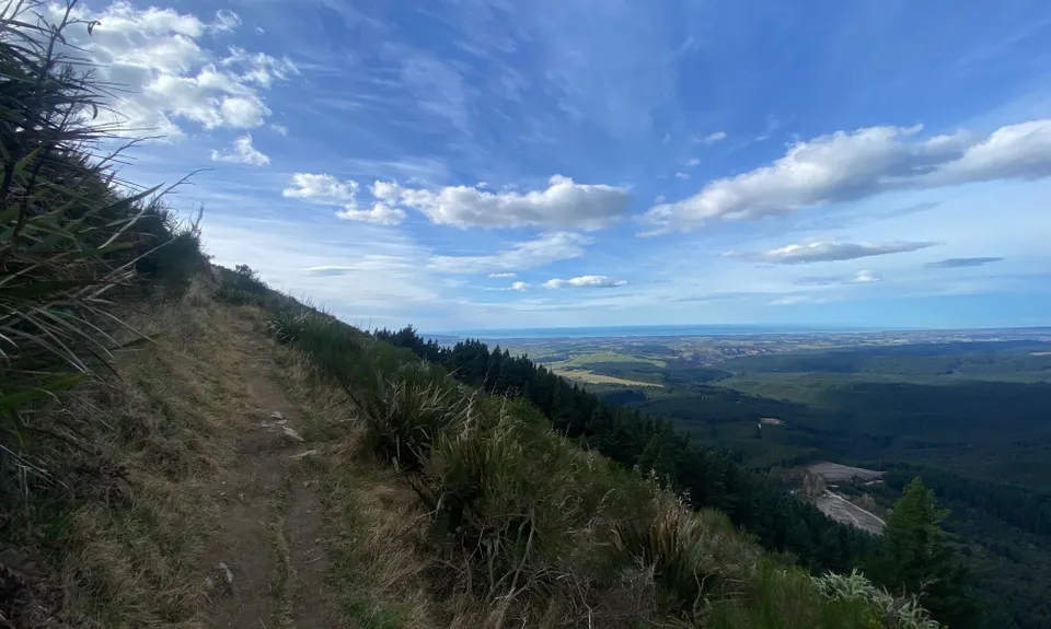
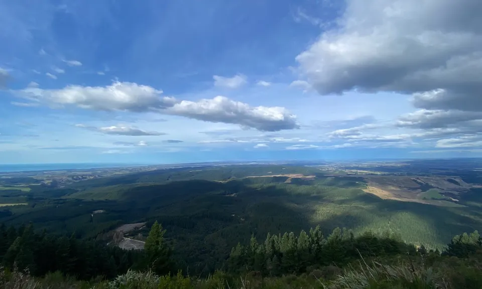
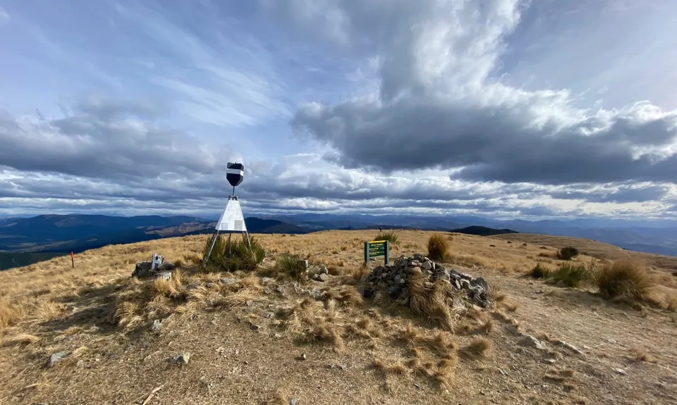
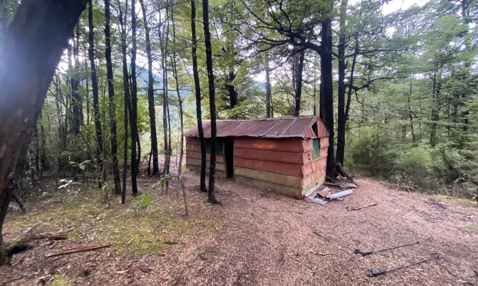
Double Mt Grey
Last Updated: 3rd Jun 2026
Open
Grunt Factor: 44 ?
Gnarl Factor: 76 ?
22.0km
1245m
1245m
928m
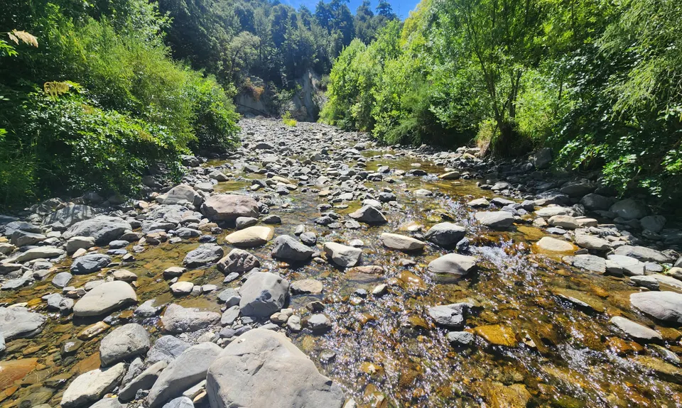
.jpg)
.jpg)


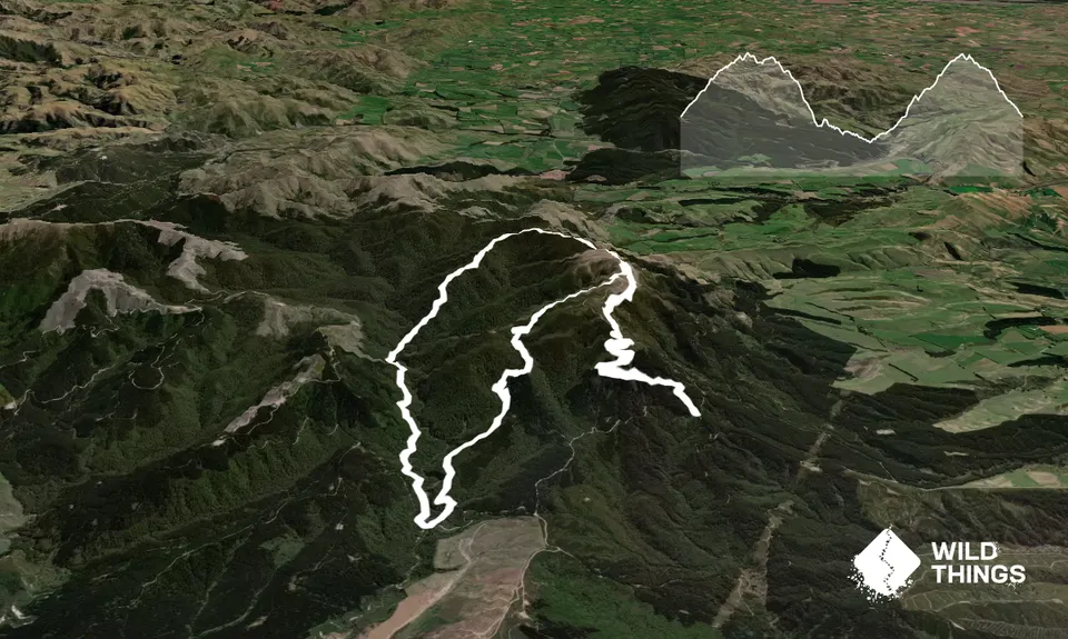
Trail Map
This Topo layer only covers NSW/ACT.
Switch to another map layer when viewing outside this area.
Switch to another map layer when viewing outside this area.


