Last Updated: 18th Nov 2026

Beginner - Intermediate

Save Trail Save

I've done it Done

Tunnicliffe's Track

Last Updated: 18th Nov 2026

Beginner - Intermediate

Save Trail Save

I've done it Done

Open

Grunt Factor: 13 ?

Gnarl Factor: 30 ?

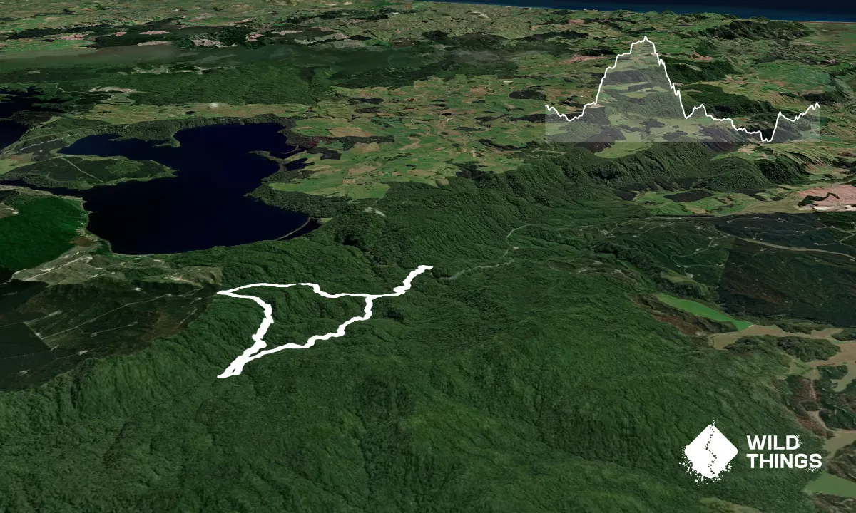
9.0km

320m

340m


Become a VIP to see driving directions, distance and time.

Trail Map

This Topo layer only covers NSW/ACT.
Switch to another map layer when viewing outside this area.

Type of Run

Front country - easily accessible

Loop

Undulating, small hills only

Dog Friendly

Native bush

Run Makeup

70%
20%
10%

Easy Single Track

Moderate Single Track

Untracked / Route only

Average Uphill Gradient: +6.90%

Average Downhill Gradient: -7.30%

Garmin Course

VIP Feature: Send this route to your Garmin account so you can follow the course on your Garmin device.

Send to Garmin

Learn about sending to Garmin.

Trailhead

Become a VIP Member to see the trailhead information.

Estimated Times to Run

2:30

Slow

1:30

Moderate

1:00

Fast

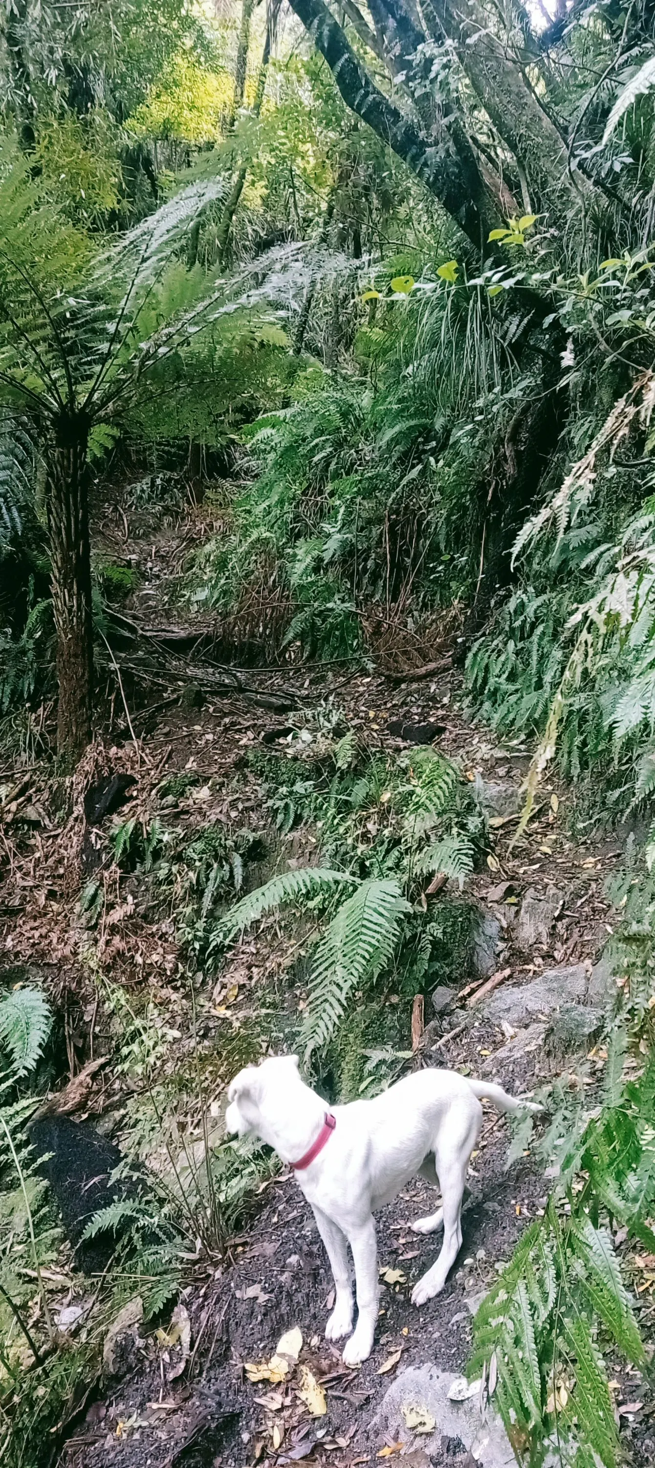
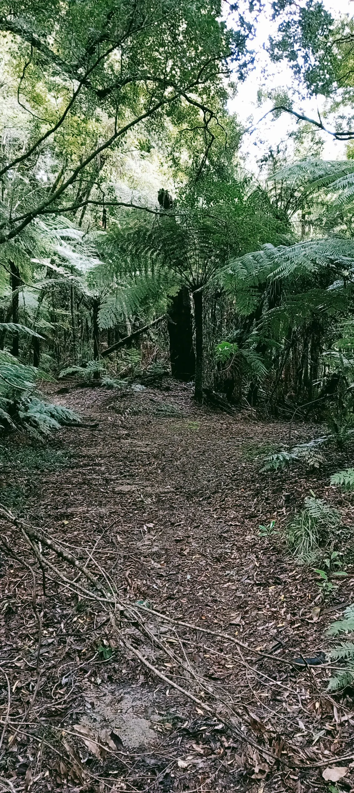
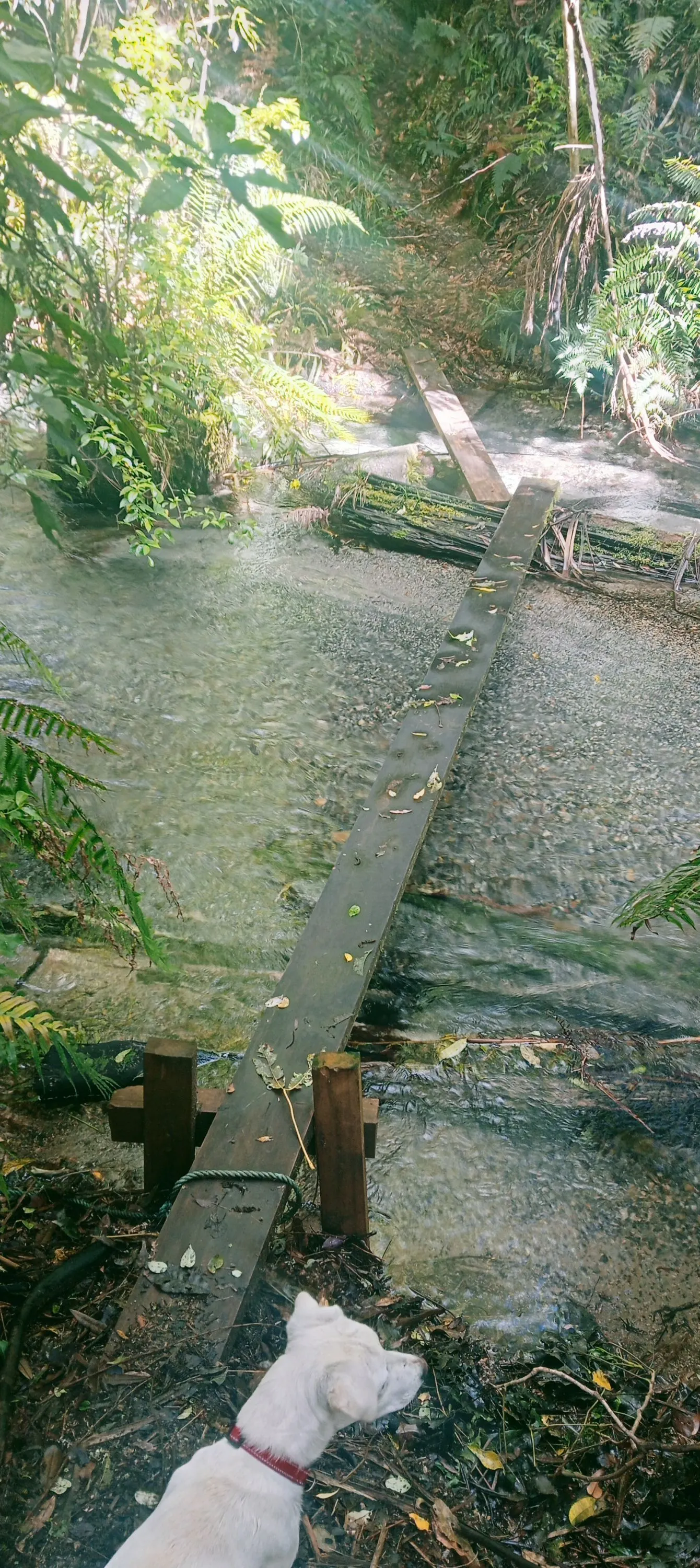
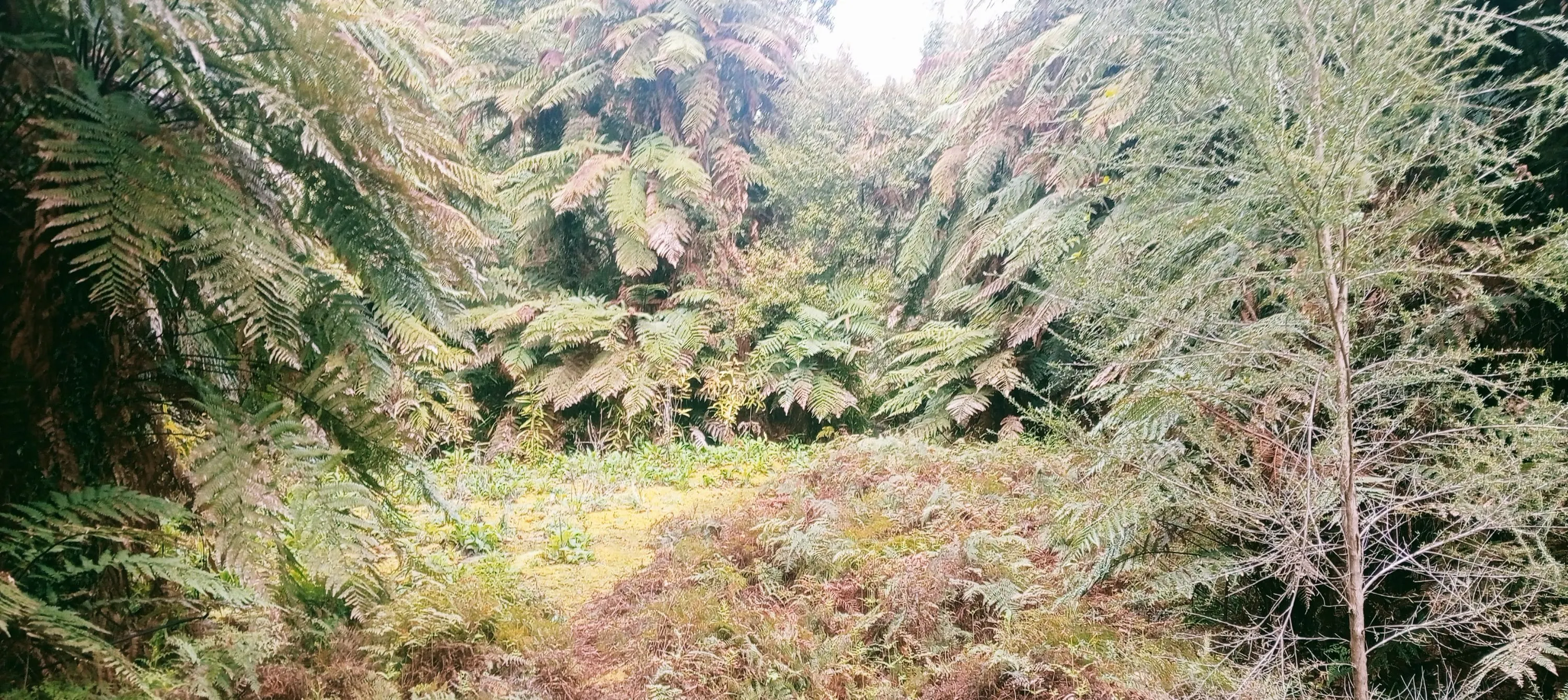
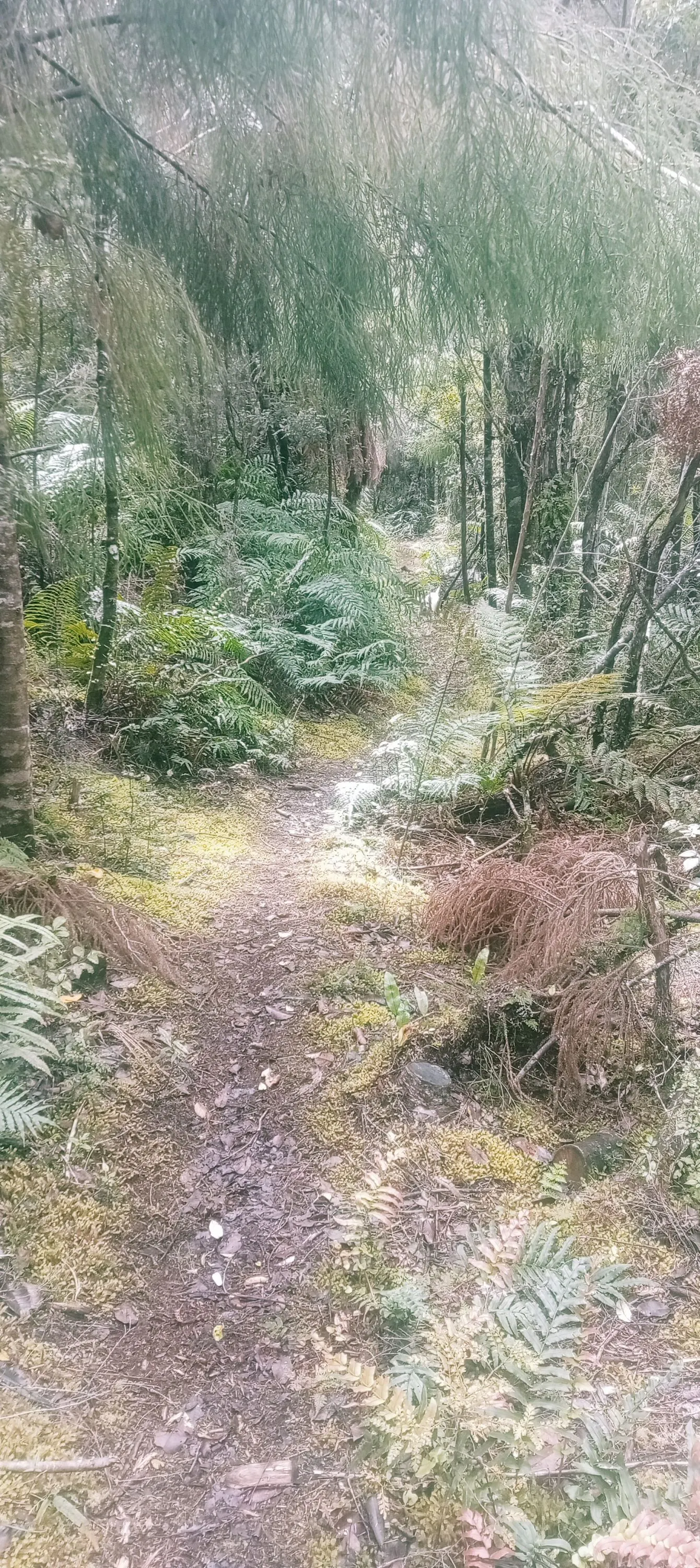
Once off the road the trail descends slowly towards the first stream crossing. A short while later there is a fork in a wide section of trail - turn right. If you look up, you'll spot some stockings/socks hanging in the branches above the intersection. This next part of the trail gradually climbs, and can be hard to navigate in places, especially near the western end.

You will eventually start a long gradual descent to a small stream crossing with some concrete pipes in it. A short way after this crossing there is a sharp uphill left-hand u-turn that is not obvious. If you go straight ahead you will either and up following pink markers into a creek or heading towards Maungawhakamana.

After the u-turn its mostly nice easy trail (with a few stream crossings) following the Waikanapiti stream back towards the start.
If you know of any public toilets near the trail start or on the route, please login and then let us know so we can update this section.

There is parking space on the side of the road roughly 100m downhill of the track entrance.

11 km

11 minutes

Yes

Moderate.

Non-existent.

Seam-sealed waterproof jacket, Personal Locator Beacon (PLB), Whistle, First aid kit, Extra food for emergencies, Cellphone, Map

The information provided is a guide only. Conditions, access and hazards can change, so use your own judgement and check current local information before heading out. Make sure the route or location is suitable for your experience, fitness and equipment, and check any access restrictions or permissions that may apply.

Do you have a suggestion on where to go afterwards for the best coffee / cake / breakfast / brunch / beer?

Trail Legend

Carl Edmondson

Carl Edmondson

has completed Tunnicliffe's Track once in the last year.

Login as a VIP to become a Trail Legend. Learn about Trail Legends.

You and Tunnicliffe's Track

As a VIP member you can record private notes for this trail, see all of your times and more.

Become a Member

Already have an account? Login now

Trail Reviews

Be the first to submit a review for Tunnicliffe's Track!

Login to submit a review

Trail Running Community

Find people who are interested in or have completed this trail run.

You must register or login to view this feature.

Register Now

Other trails nearby
Onepu Mountain Bike Park

Onepu Mountain Bike Park

Length: 5.5km

Level: Beginner

Distance Away: 9.9km

Okataina...Eastern & Western

Okataina...Eastern & Western

Length: 33.7km

Level: Beginner - Intermediate

Distance Away: 16.6km

Eastern Okataina Walkway to Tarawera Falls

Eastern Okataina Walkway to Tarawera Falls

Length: 23.0km

Level: Beginner - Intermediate

Distance Away: 17.1km

The Other Okataina Trails

The Other Okataina Trails

Length: 19.1km

Level: Beginner - Intermediate

Distance Away: 17.3km

Find more trails and peaks nearby

Wild Things
Wild Things
Explore more

Plan smarter, stay motivated, track your progress, and unlock the full Wild Things experience — while saving along the way.