Last Updated: 30th Mar 2025
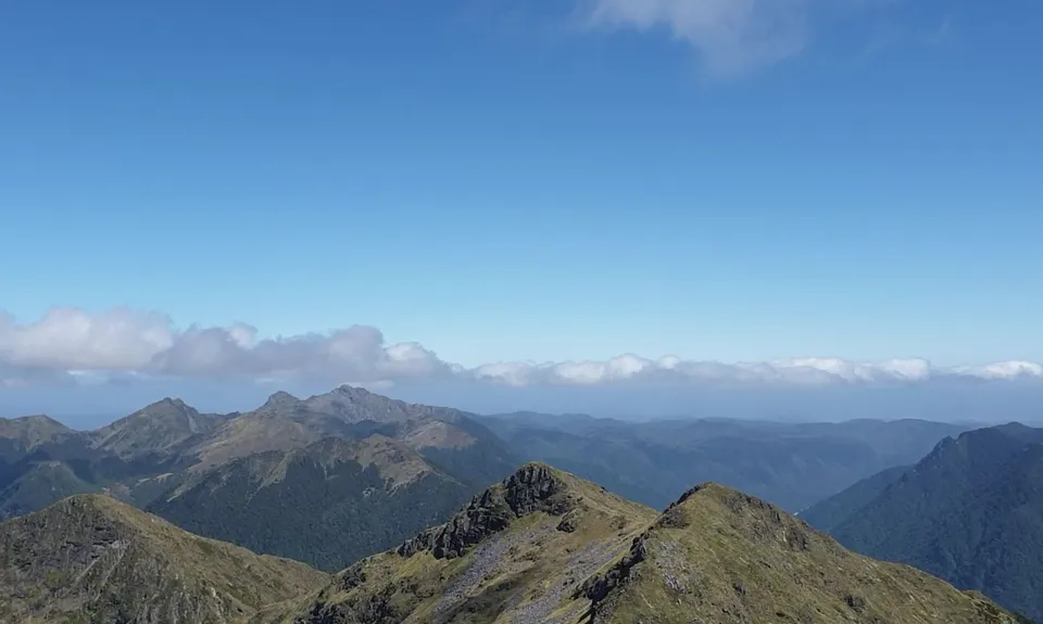
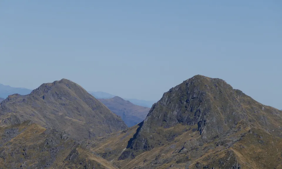
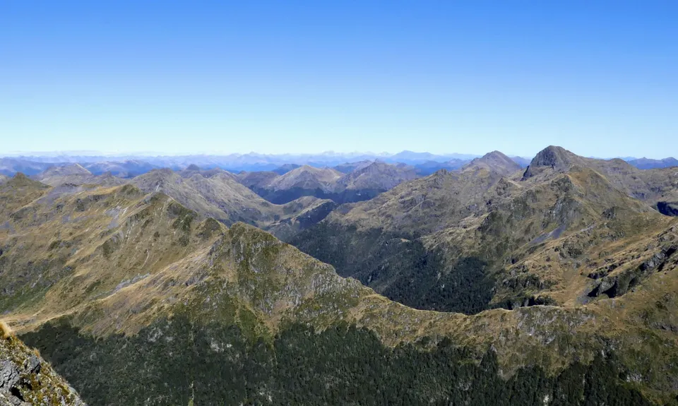
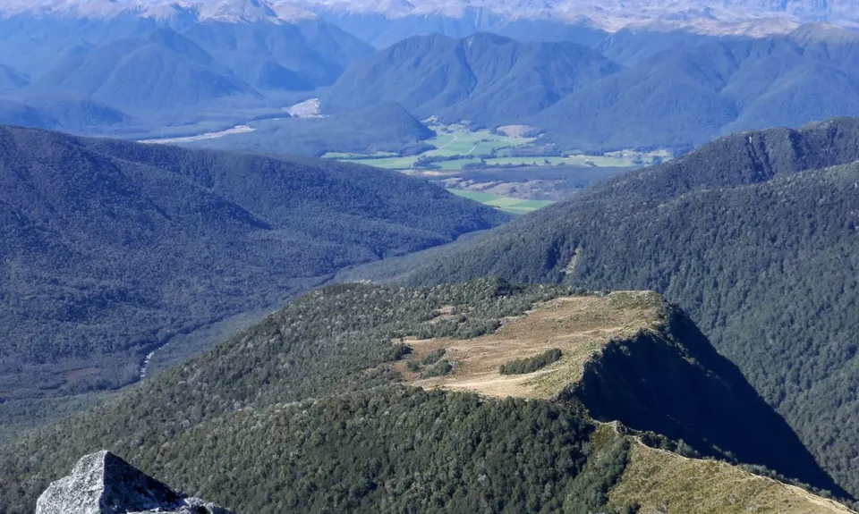
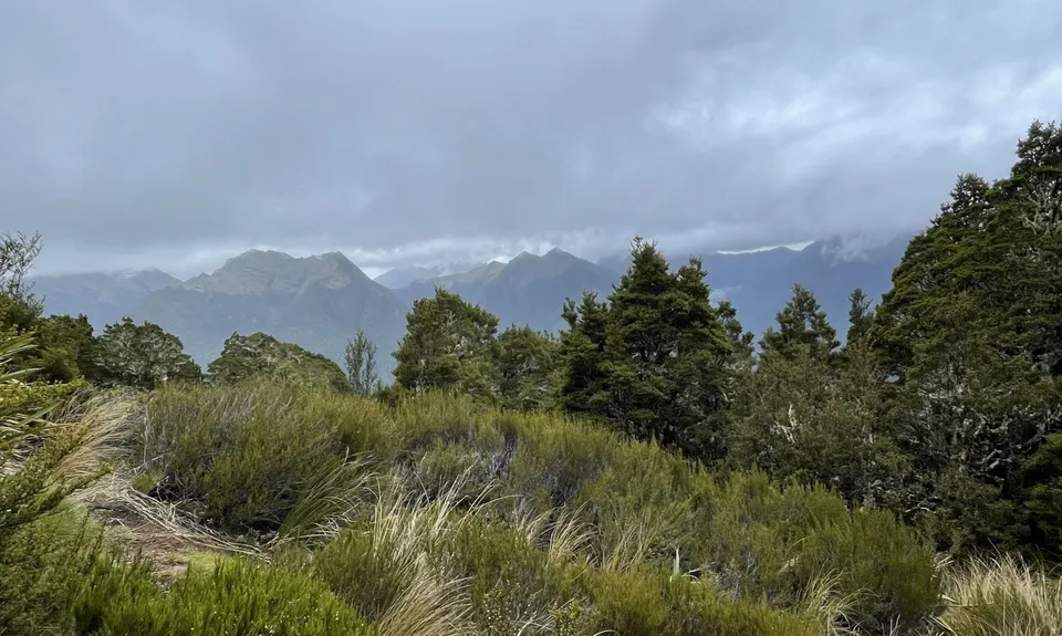
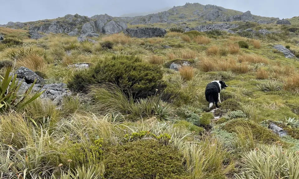
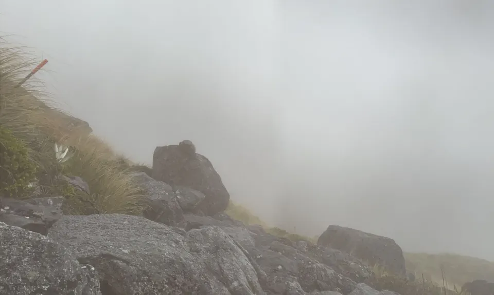
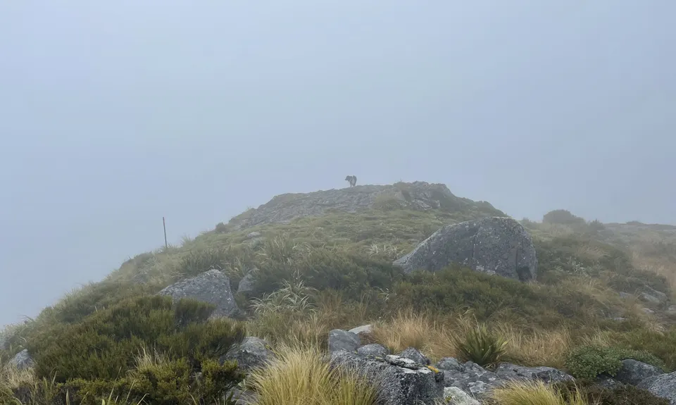
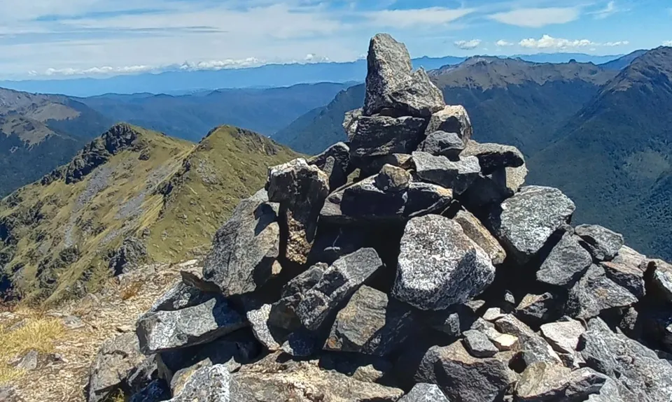
Mt Haast views of the world!
Last Updated: 30th Mar 2025
Open
Grunt Factor: 23 ?
Gnarl Factor: 82 ?
5.8km
950m
950m
1587m


Trail Map
This Topo layer only covers NSW/ACT.
Switch to another map layer when viewing outside this area.
Switch to another map layer when viewing outside this area.


