Last Updated: 21st Sep 2023
Klondyke Ridge
Last Updated: 21st Sep 2023
Open
Grunt Factor: 21 ?
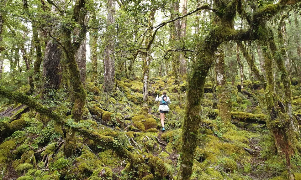
Gnarl Factor: 117 ?
4.4km
630m
630m
1300m
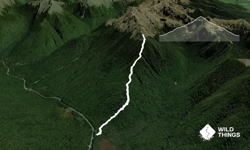
Trail Map
This Topo layer only covers NSW/ACT.
Switch to another map layer when viewing outside this area.
Switch to another map layer when viewing outside this area.


