Last Updated: 29th Oct 2025
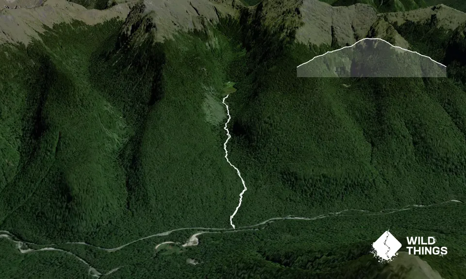
Duffy Creek Route
Last Updated: 29th Oct 2025
Grunt Factor: 14 ?
Gnarl Factor: 89 ?
4.8km
370m
355m
825m

Trail Map
This Topo layer only covers NSW/ACT.
Switch to another map layer when viewing outside this area.
Switch to another map layer when viewing outside this area.


