Last Updated: 9th Nov 2024
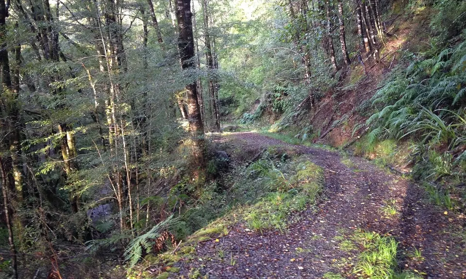
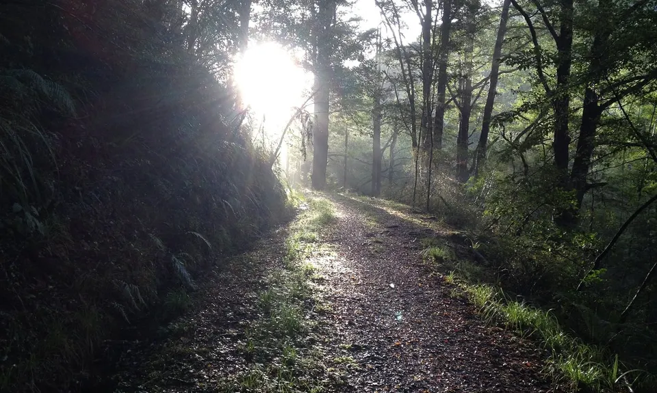
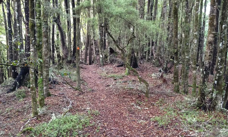
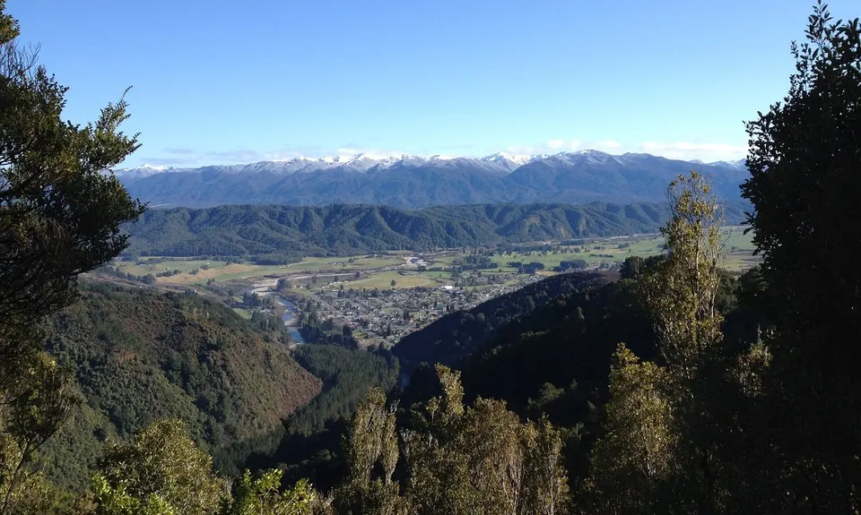
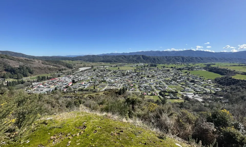
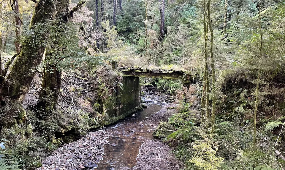
Murray Creek / Konini Track Loop
Murray Creek Track, Konini Pack Track
Last Updated: 9th Nov 2024
Open
Grunt Factor: 22 ?
Gnarl Factor: 38 ?
13.8km
740m
740m
700m
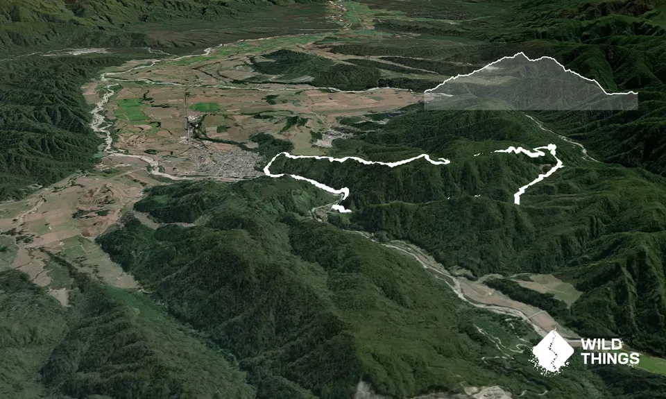
Trail Map
This Topo layer only covers NSW/ACT.
Switch to another map layer when viewing outside this area.
Switch to another map layer when viewing outside this area.


