Last Updated: 4th Dec 2023
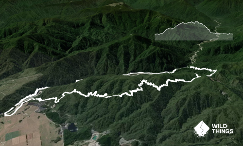
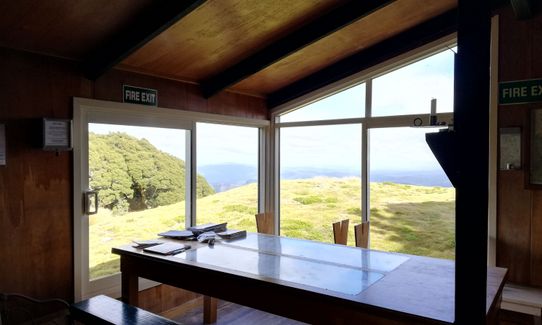
Kirwans Track Loop
Last Updated: 4th Dec 2023
Closed More info
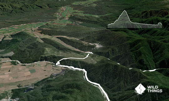
At end of November 2023 the track was closed and is extensively damaged: one massive and multiple smaller slip.
Long Term DOC alert:
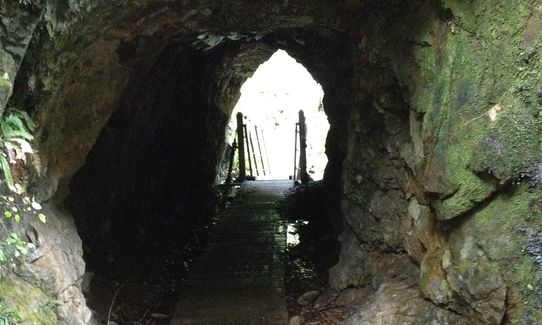
Parts of Kirwans Track and Waitahu Valley closed. The track between Kirwans Capleston/Boatmans Track entrance through to Kirwans Hut is closed. This is due to extensive flood damage, including damage to the track, timber bridges and swing bridges.
This part of the track will remain closed until the track damage can be assessed and repaired.
Please notify us if this has changed.
Grunt Factor: 74 ?
Gnarl Factor: 46 ?
38.4km
2200m
2200m
1294m

Trail Map
This Topo layer only covers NSW/ACT.
Switch to another map layer when viewing outside this area.
Switch to another map layer when viewing outside this area.