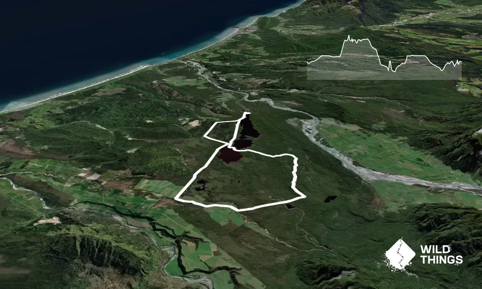
This is an easy loop with gentle climbs only - great for building up those kms!
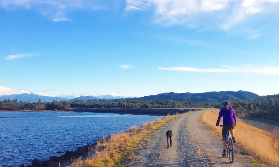
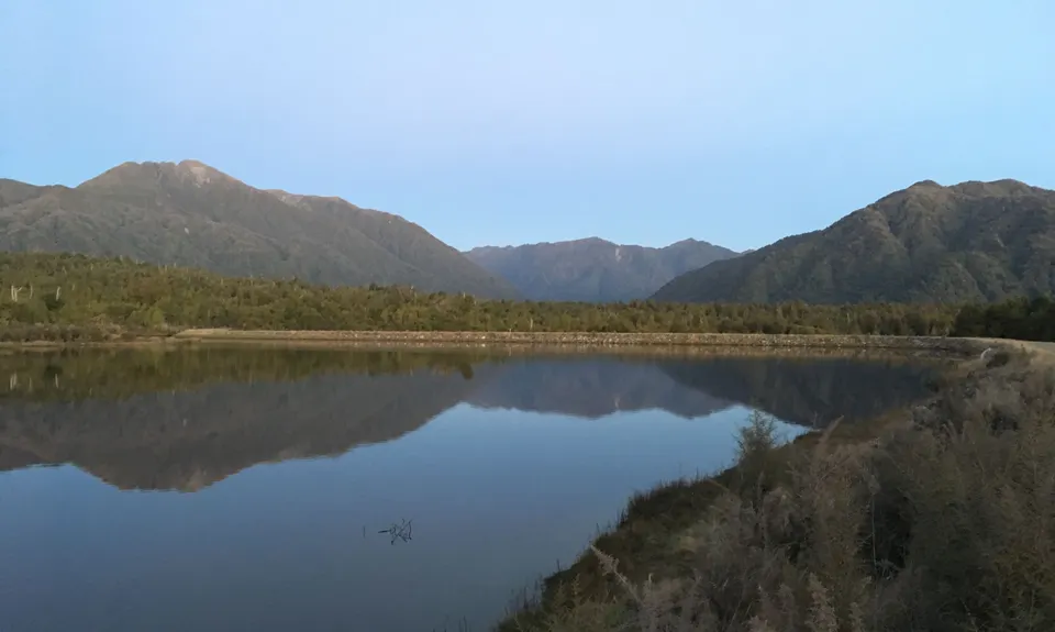
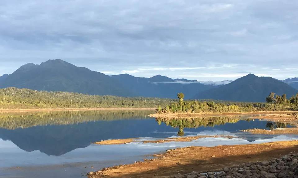
Start at the Kapitea Reservoir and head out along the travel embankment alongside the water. For the first 11-12km follow signs for the West Coast Wilderness Trail cycleway. This heads along gravel and 4WD tracks between the two dams, with short segments of single trail through lush bush, and plenty of views over the water to the Southern Alps. It climbs steadily until meeting the Old Christchurch Road - this is a gravel road open to traffic but is usually quiet. Turn right.
Continue on this road for around 4km, until you reach the signposted right turn into Duffers Creek Road. This starts out as gravel road but you soon reach a sign beyond which the road is no longer maintained. From here it is a rough 4WD track with short patches of muddy bog in the low spots. At an old junction the Duffers Creek Road (which heads left) is blocked off - bear slightly right then continue until you meet a T junction. Turn left here.
From here you can choose to take the next right (approx 300m later) or continue straight on. Turning right will decrease the distance by about 2km but is a rougher track (some overgrown gorse right at the end before it meets Stafford Loop road), whereas heading straight on will bring you out onto the sealed Stafford Loop road earlier, with more running on tarmac. Either way when you reach the seal, turn right here. Continue until you seen the turn-off to the dam where you started.