Last Updated: 4th Jan 2024
The Goldsborough
Last Updated: 4th Jan 2024
Open
Grunt Factor: 14 ?
Gnarl Factor: 79 ?
7.4km
280m
360m
326m
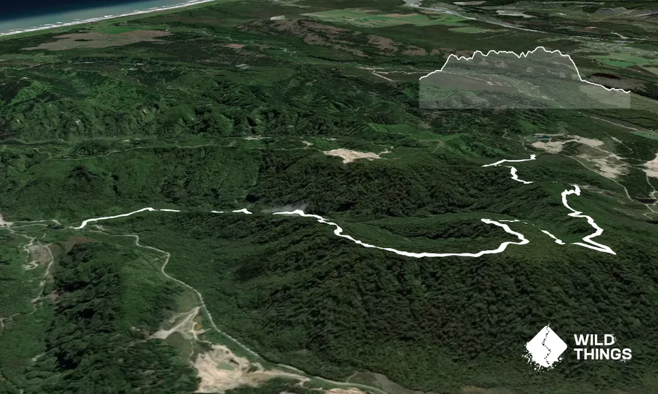
Trail Map
This Topo layer only covers NSW/ACT.
Switch to another map layer when viewing outside this area.
Switch to another map layer when viewing outside this area.