Wild Things - New Zealand's trail running community
New Zealand's trail running community

Login


don't have an account?

Mitchells Meander, West Coast

Trail Directory proudly supported by Further Faster

Update Your Header Picture

Mitchells MeanderBeginner

Submitted by Katie Smith

Info Info
Map Loading

Trail Information

10.00km

230m

230m


West Coast

Kumara

Front country - easily accessible

Out and Back

Totally/mostly flat

Native bush
Riverside
Lakeside

Beginner

1:20 (Slow)
1:00 (Moderate)
0:50 (Fast)

-4.8%

+5.0%

DOC have removed the bridge closest to Carew Bay Beach, so unless the lake is really really low you are most likely going to get wet up to your waist at least.

Download PDF Guide

Fastest Known Times (FKTs)

Please set your gender to see your position on the FKT leaderboards.

Men

Women

There are currently no female FKTs for Mitchells Meander.

Filter FKTs

The more , the harder the FKT will be to beat. Learn about Fastest Known Times.

Missing your time?

Register or login as a VIP and get yourself on the FKT leaderboard!

Register Now

Description

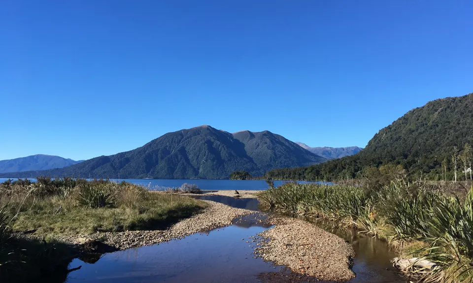
Note: DOC have removed the bridge closest to Carew Bay Beach, so unless the lake is really really low you are most likely going to get wet up to your waist at least.

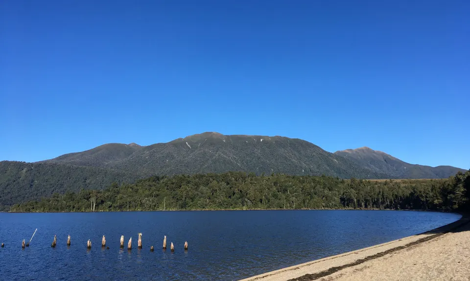
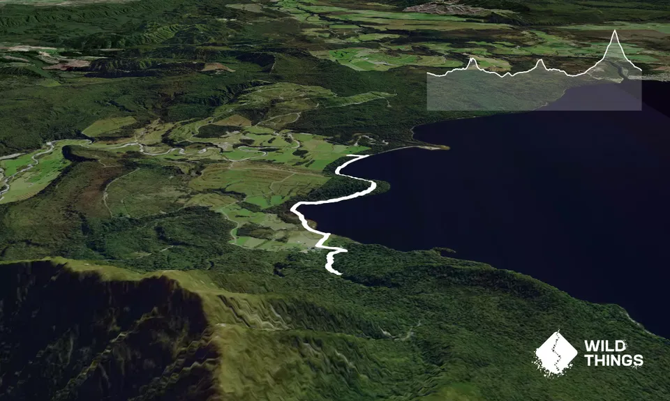
Start from the boat ramp, where there are views across Lake Moana to Mt Te Kinga and Moana settlement. Follow the track marked Bain Bay.

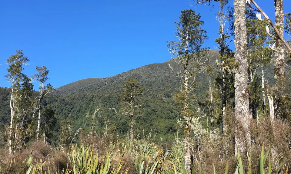
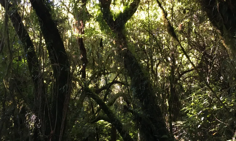
Initially this winds through over-head-height flax on a mix of board walk and sandy trails, generally following the lake edge. Cross two wooden bridges then follow the beach around until you see the orange triangle marking where the track enters the bush. From here it winds through beautiful lush rainforest, before popping out on the beach at Bain Bay after about three kilometres.

Here you can choose to run along the shingle beach or duck back into the bush for the last 500m to the picnic area at the end of the bay. There are old logging implements lying around, and you can see the posts from an old L-shaped wharf. From the end of the bay there is a rough farm track that you can follow for 500m for open views across farmland. Turn around and head back the way you came.

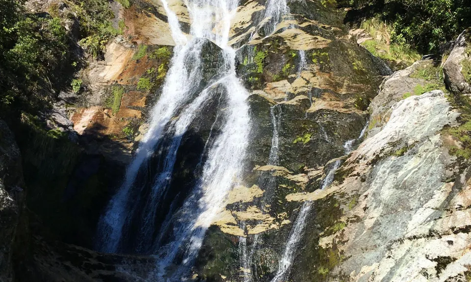
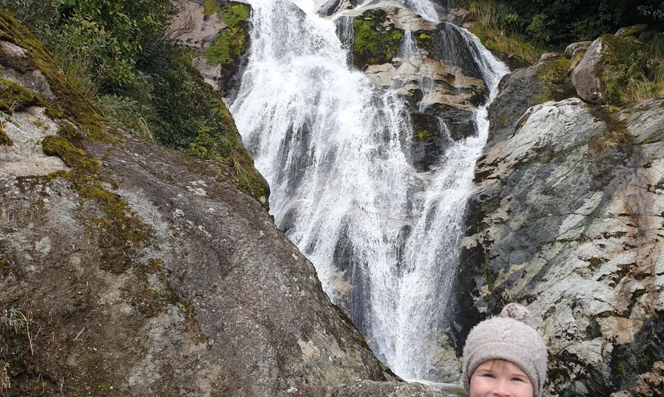
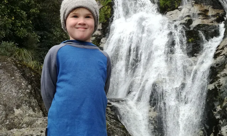
When you get back to the boat ramp, head up towards the road then turn left across the one-lane bridge. After about 200m you will see the Carew Falls track on your right. This climbs steadily through more rain forest for about one kilometre, bringing you out at the bottom of the 30m falls, where there is a stunning swimming hole to cool down in. When you've had your fill, head back down the same track and back to the start point.


Trail Community

Find people who are interested in this run.

You must register or login to view this content.

Features of interest

Stunning rainforest
At Bain Bay there are remnants of old logging apparatus, including machinery and the stumps of an old wharf
Carew Falls with swimming hole


Make Up of Run

Technical Single Track: 10%

Moderate Single Track: 55%

Easy Single Track: 30%

Gravel Road: 5%


Route Data

Reviews:

You must register or login to view this content.

Photos:

You must register or login to view this content.

Your Trail Wishlist

All the runs that are on your To Do list (no limit).

Add to wishlist view wishlist

Your Trail Dreamlist

The runs you most want to do (limited to 10).

Add to dreamlist view dreamlist

Wild Explorers

I did it!
  • Access

    From Kumara turn off SH73 towards Mitchells and Taramakau settlement. Follow the road, continuing straight on at the one-lane bridge just before the gravel road starts (instead of turning right to Taramakau Settlement). After about 10km of gravel road you will arrive in Mitchells - turn left down the track to the boat ramp and park at the end. You should see the DoC sign for the Bain Bay track.

    No public transport. Adequate safe parking - busier over summer months.

    22 km

    28 minutes

    No

    No

  • Staying Safe

    Easy.

    Occasionally along the waterfront the track disappears - keep heading onwards and you will always pick it up again, sometimes a few metres into the bush.

    Generally good.

    Long-sleeved thermal top, Seam-sealed waterproof jacket, Whistle, First aid kit, Extra food for emergencies, Cellphone, Map.

    Drinkable water from Carew Falls and a couple of small side creeks passed on the way to Bain Bay

    When lake levels are high the first part of the track can be underwater and inaccessible

  • Post run indulgence

    Brunner Lodge
    Mitchells - right opposite boat ramp
    Good coffee and food when open, seasonal.

  • Sponsor this trail

    If you are interested in learning about sponsorship opportunities, please get in touch below:

    Submit

Got a favourite trail? Tell us about it.

Share the love and add your favourite trail(s) to our growing trail directory.

Submit A Trail

Become a member today

Start enjoying the many benefits to becoming a member of our thriving community.

Become a member

Great brands at great prices with our VIP member's discount

Stay up to date

Sign up to our newsletter for latest offers and trail guides

Share this trail with a friend:

VIP Membership

Please register as a VIP or login to your VIP account to view this content.

Cancel Login Register

Membership Required

You can see up to three trail guides without being logged in but after that we require you to be logged in to your Free or VIP account. If you don’t yet have an account you can register here.

Login Register