Last Updated: 29th Sep 2024
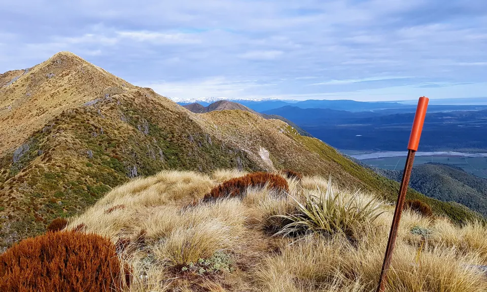
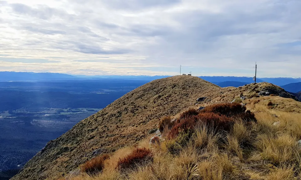
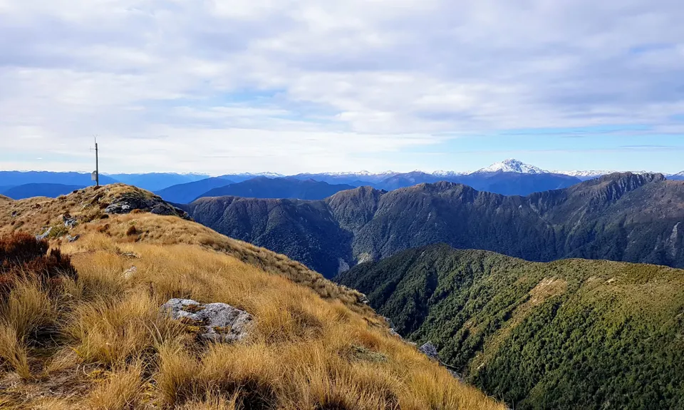
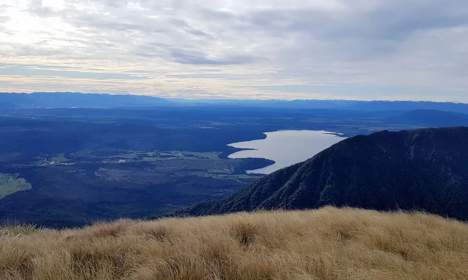
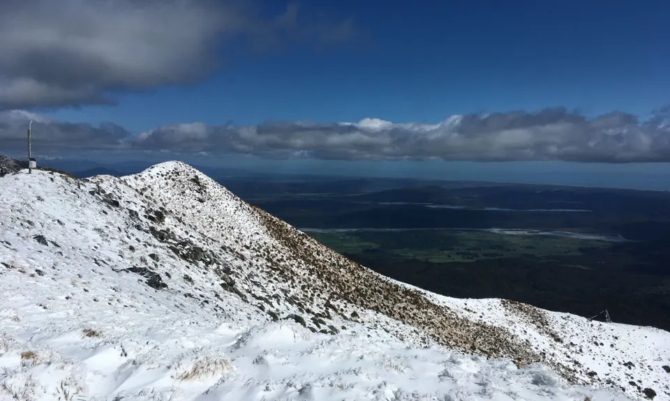
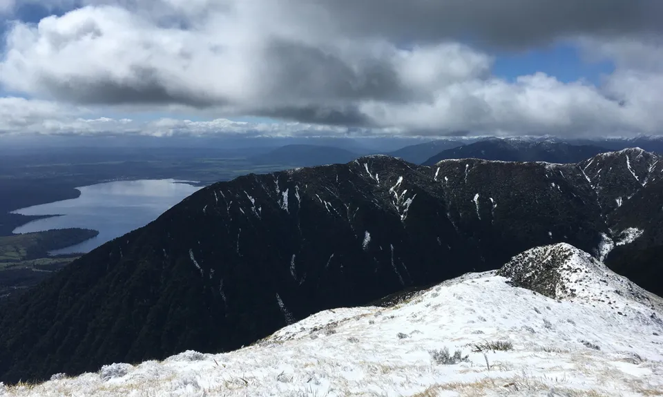
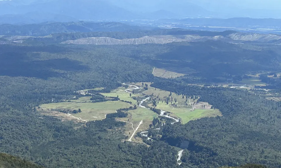
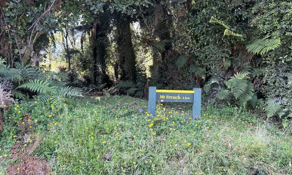
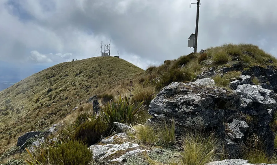
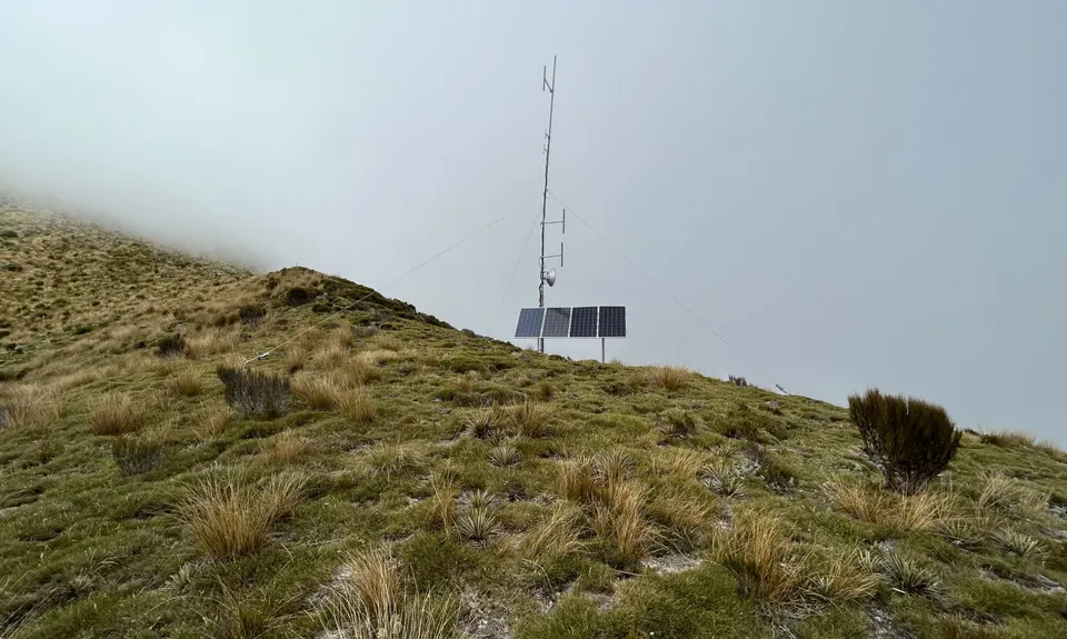
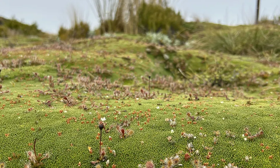
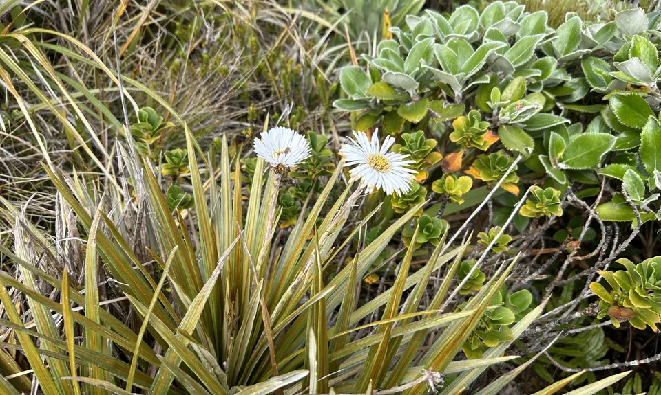
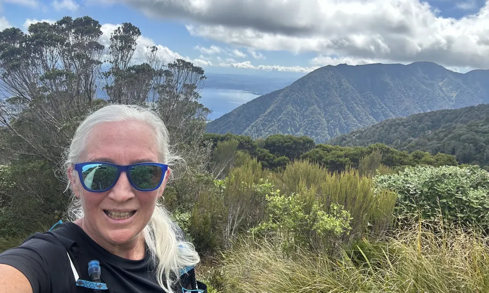
Mt French
Last Updated: 29th Sep 2024
Open
Grunt Factor: 42 ?
Gnarl Factor: 101 ?
9.0km
1190m
1190m
1233m
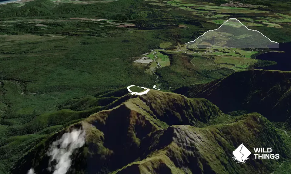
Trail Map
This Topo layer only covers NSW/ACT.
Switch to another map layer when viewing outside this area.
Switch to another map layer when viewing outside this area.


