Last Updated: 4th Feb 2025
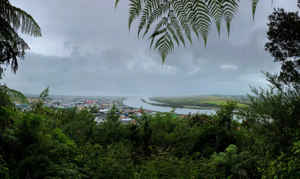
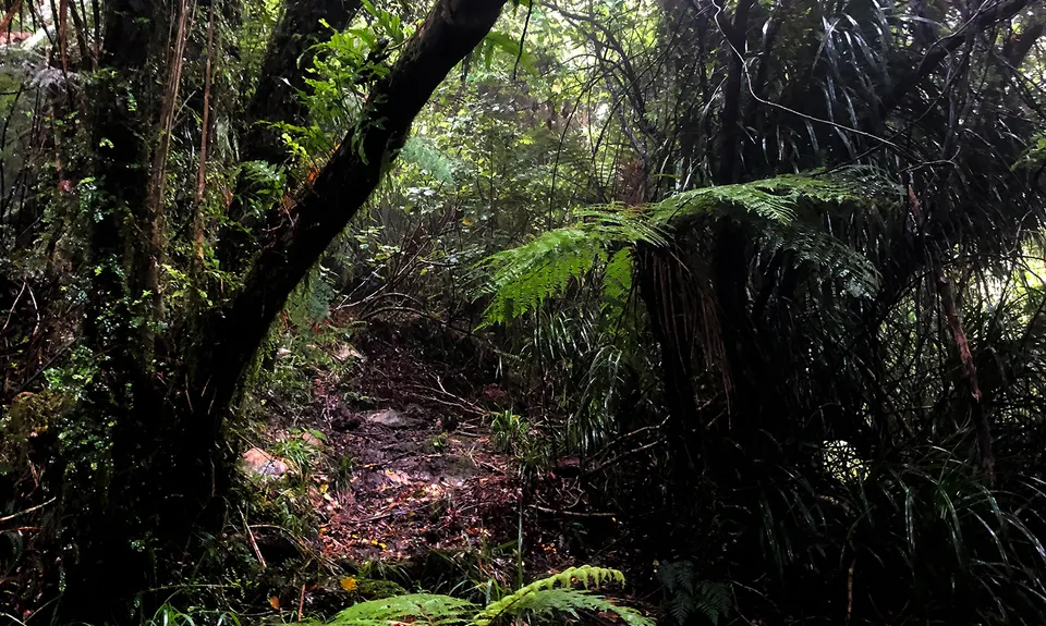
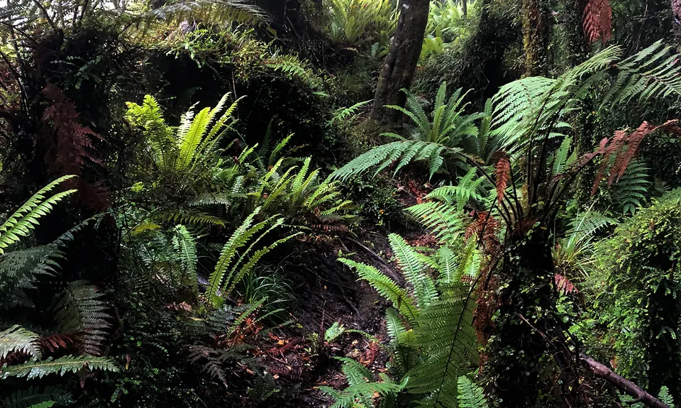
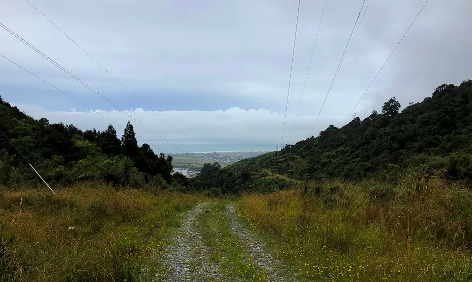
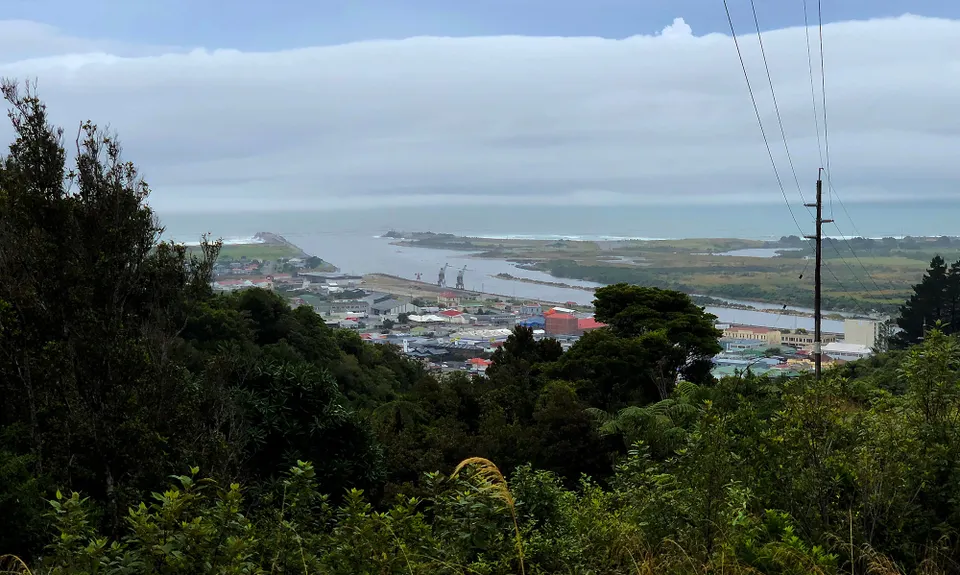
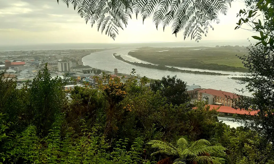
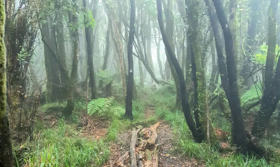
Tuatara Trail Run
Last Updated: 4th Feb 2025
Open
Grunt Factor: 12 ?
Gnarl Factor: 51 ?
6.0km
420m
420m
342m
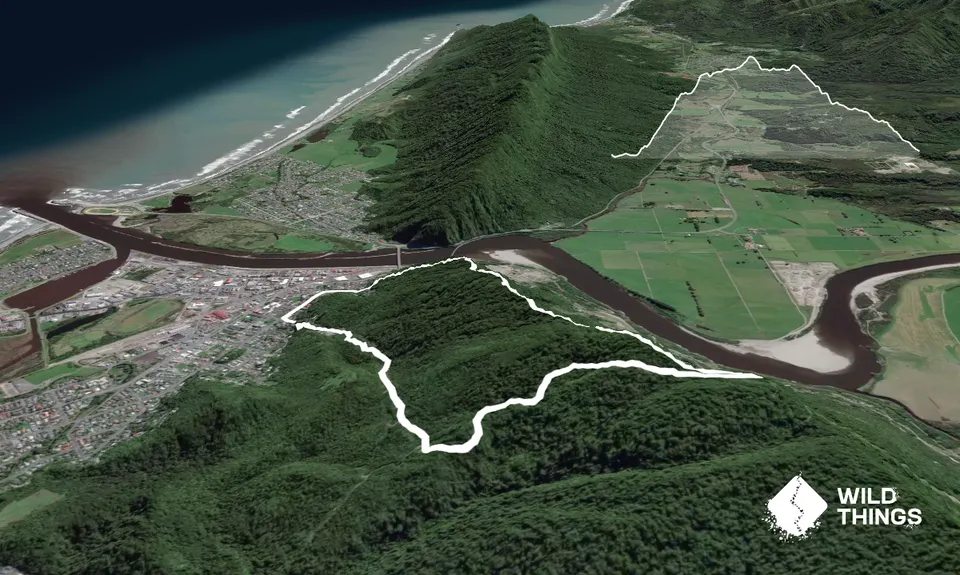
Trail Map
This Topo layer only covers NSW/ACT.
Switch to another map layer when viewing outside this area.
Switch to another map layer when viewing outside this area.


