Last Updated: 8th Apr 2026
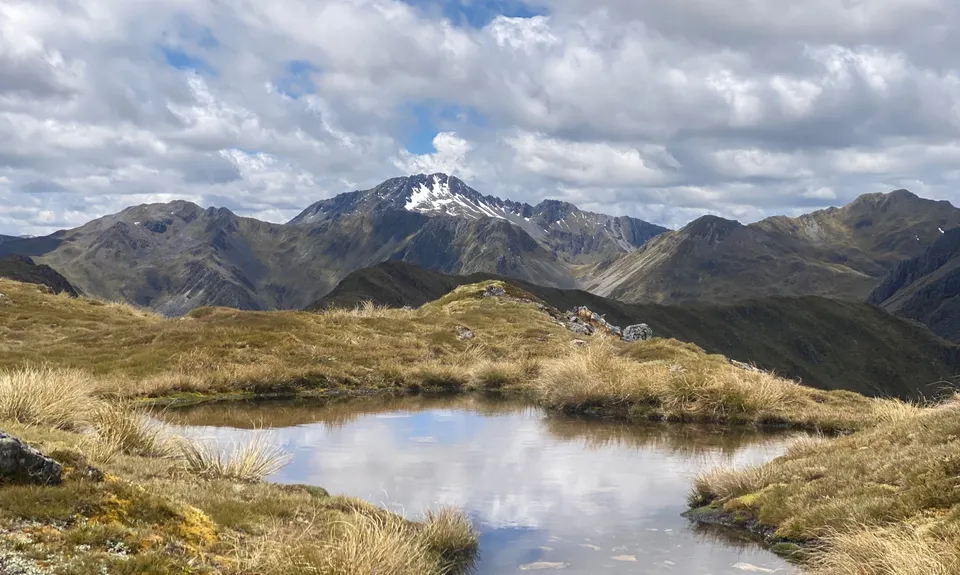
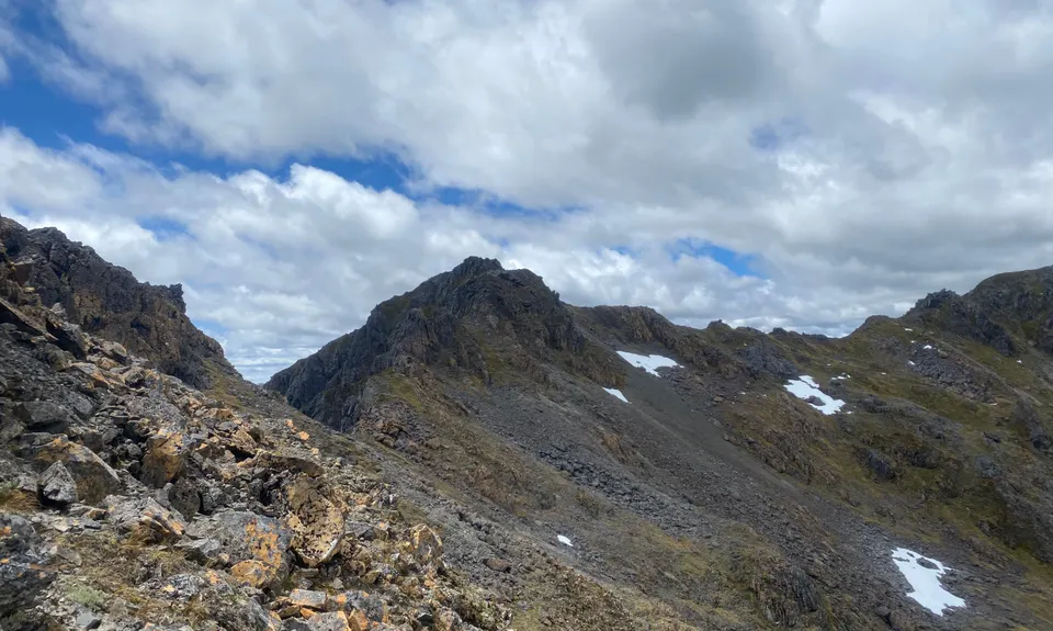
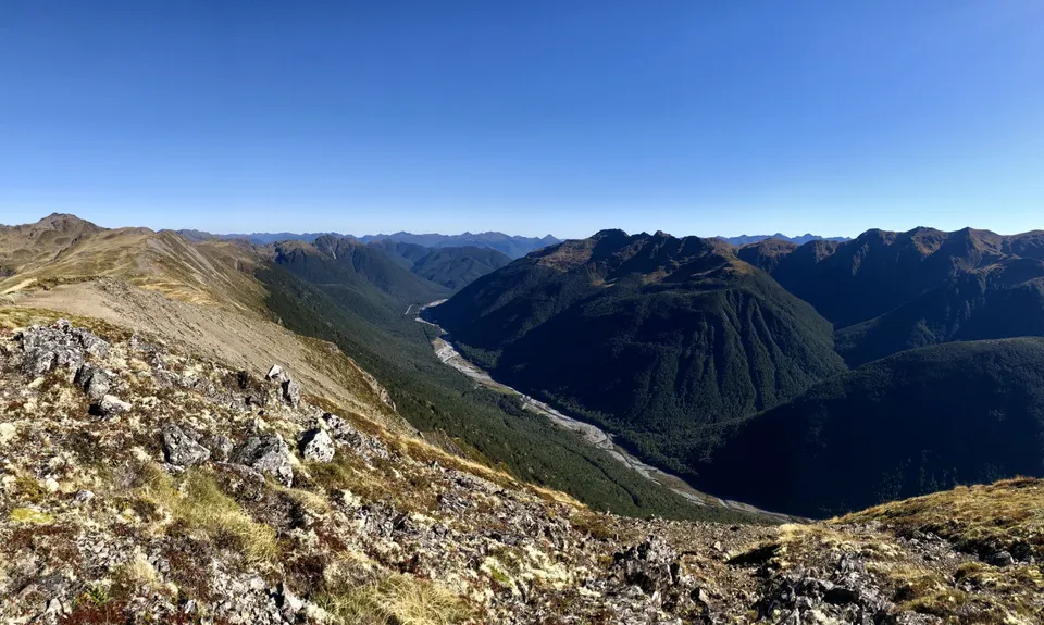
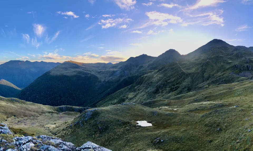
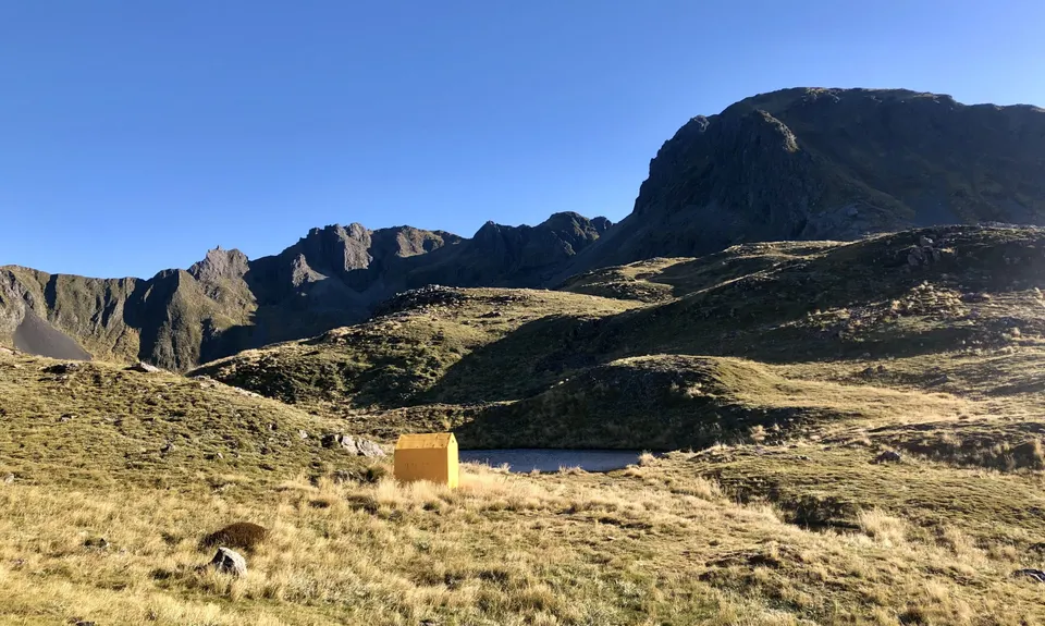
Lewis Tops
Last Updated: 8th Apr 2026
Open
Grunt Factor: 78 ?
Gnarl Factor: 105 ?
22.2km
2440m
2125m
1678m
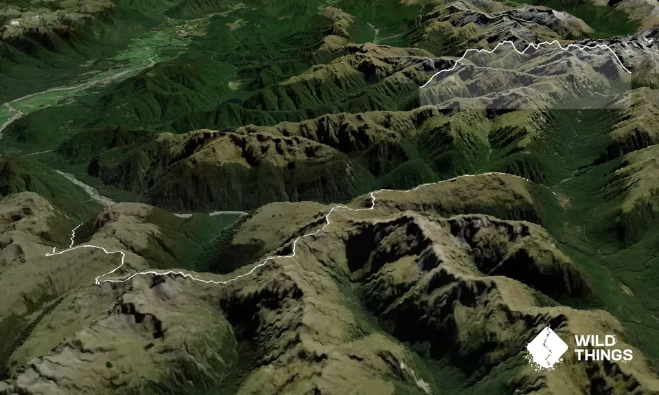
Trail Map
This Topo layer only covers NSW/ACT.
Switch to another map layer when viewing outside this area.
Switch to another map layer when viewing outside this area.


