Last Updated: 21st Sep 2023
Mine to Mine
Last Updated: 21st Sep 2023
Open
Grunt Factor: 44 ?
Gnarl Factor: 78 ?
18.2km
900m
910m
1000m


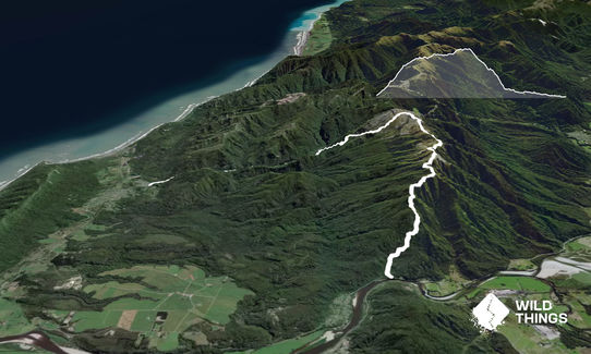
Trail Map
This Topo layer only covers NSW/ACT.
Switch to another map layer when viewing outside this area.
Switch to another map layer when viewing outside this area.


