Last Updated: 21st Jun 2024
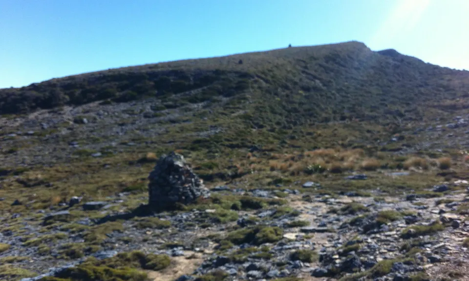
Mt Davy Summit
Last Updated: 21st Jun 2024
Open
Grunt Factor: 46 ?
Gnarl Factor: 88 ?
18.5km
1300m
1300m
1033m
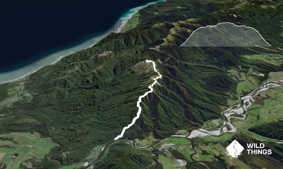
Trail Map
This Topo layer only covers NSW/ACT.
Switch to another map layer when viewing outside this area.
Switch to another map layer when viewing outside this area.


