Last Updated: 21st Jan 2026
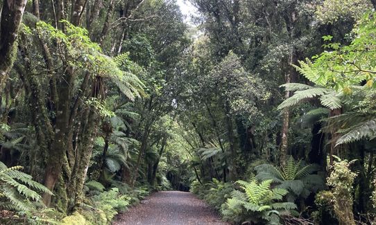
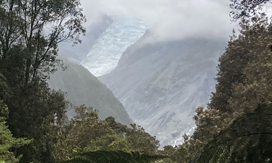
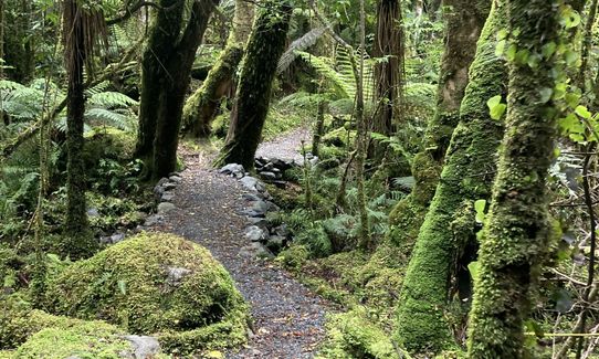
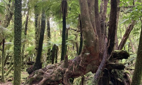
Southern Fox
Last Updated: 21st Jan 2026
Grunt Factor: 8 ?
Gnarl Factor: 9 ?
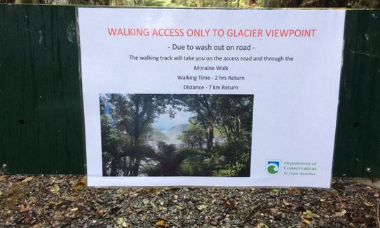
7.0km
185m
185m
295m


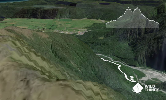
Trail Map
This Topo layer only covers NSW/ACT.
Switch to another map layer when viewing outside this area.
Switch to another map layer when viewing outside this area.


