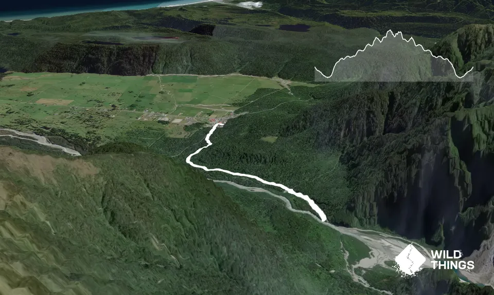
Leave your car in Fox township and head south along the main road. Depending on where you start the track beginning is approx 400 - 500m from the township proper. The track is well marked on your left before the road narrows.
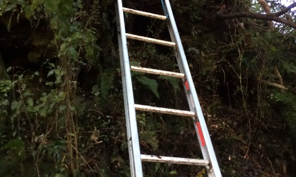
Update Dec 2020: The ladder has been removed, this means climbing down a 10 foot bank. There are plenty of tree roots to grab. Also at the end, the wee trail to see the swingbridge is closed as well, however if you go down the road a bit to the left and look back you can see the bridge.
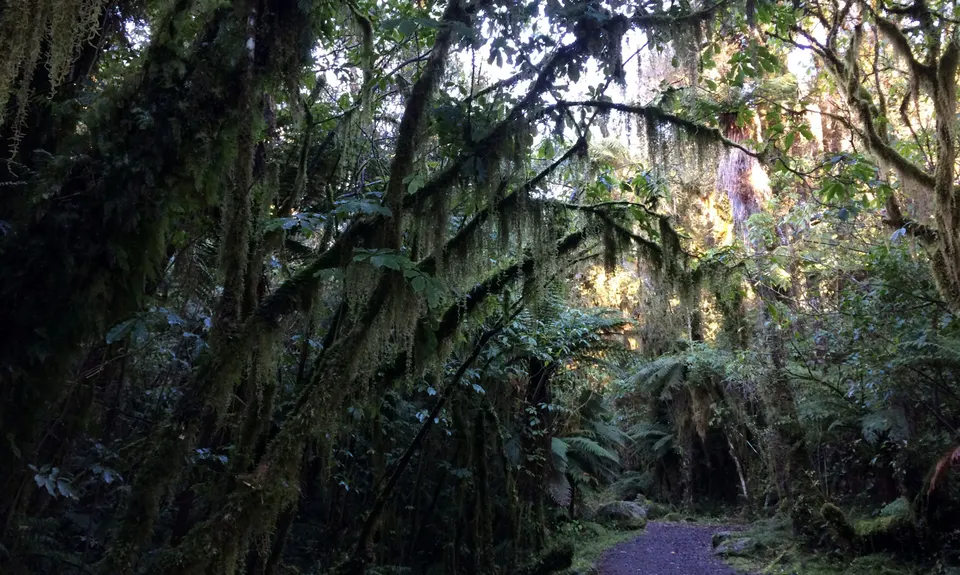
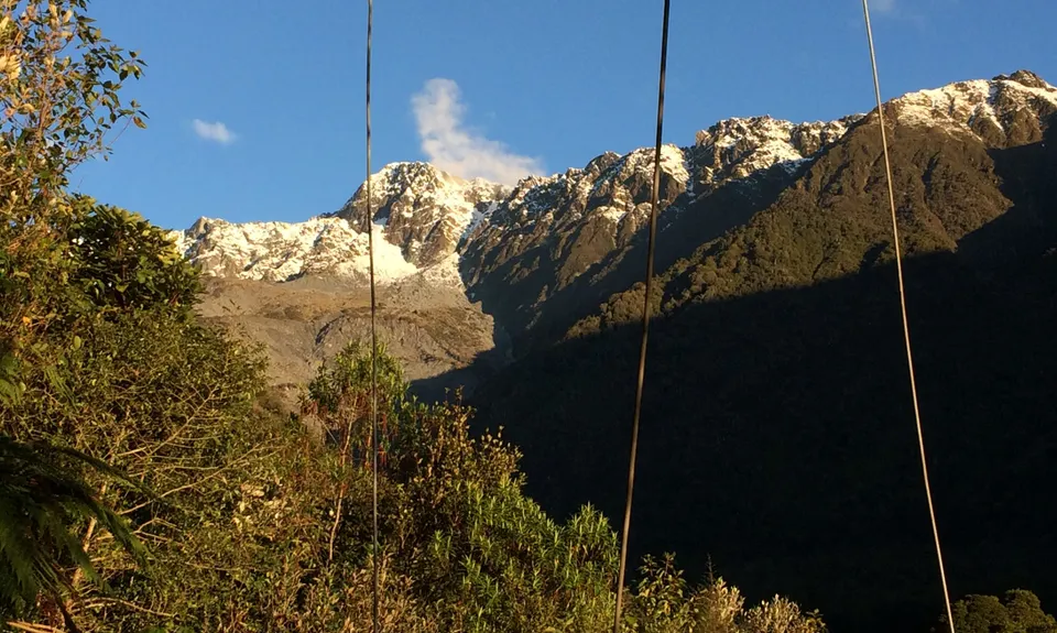
Take this track and either follow the bike track or the walking track … the walking track meanders through slightly more dense bush but both come out at the same place … take one on the way out and the other on the way back. You will follow this track as it meanders through the stunning bush for about 2kms. The track undulates but is an overall very gentle climb as you head up the river.
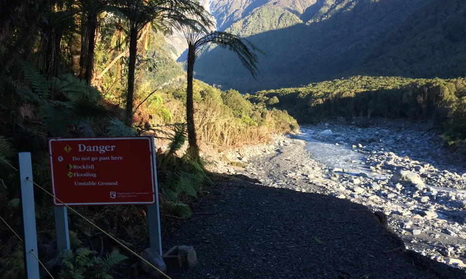
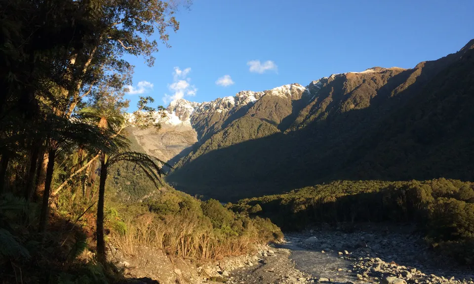
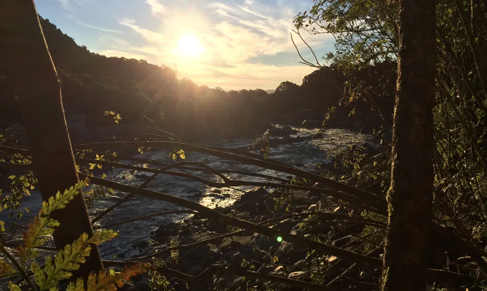
You will come to where the track meets the road that once was and a danger sign. Please don't climb through the ropes … the road is heavily undercut and very dangerous. Here you will get an amazing view of the landslide that wiped out the road and the landfill filling the Fox River with rubbish. From here you will notice a small track cut out on your left. If you wish you can follow this track through the bush and then climb down a well fastened ladder which will lead you out onto the road. From here follow the road for about 30 metres and then hook a left back onto the track. This will lead you to the closed off swing bridge and the end of the road. Please adhere to all the closed signs. They're there for a reason.
Return the way you came … don't miss the turnoff back to the ladder on your right as it's not signposted … it's just before the road drops away to the river. Once back on the true track you'll have a blast running through the bush back to your car on a well formed track.