Last Updated: 24th Feb 2026
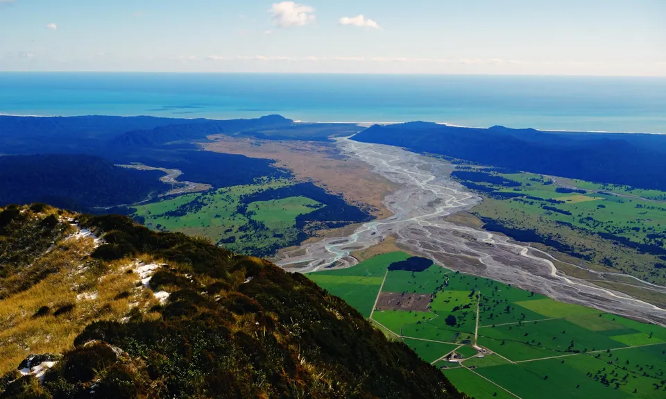
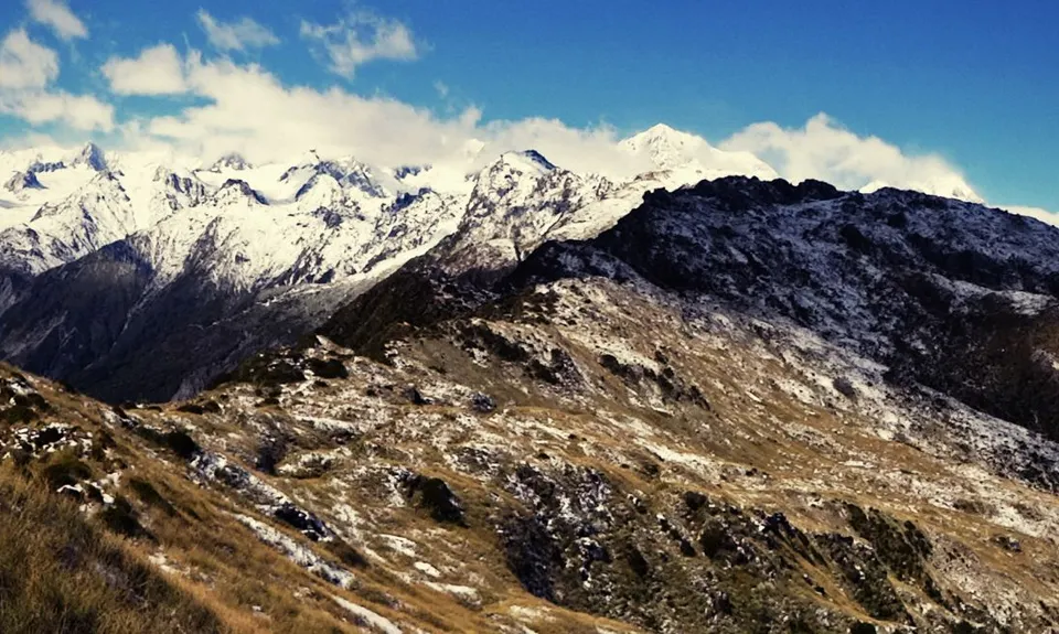
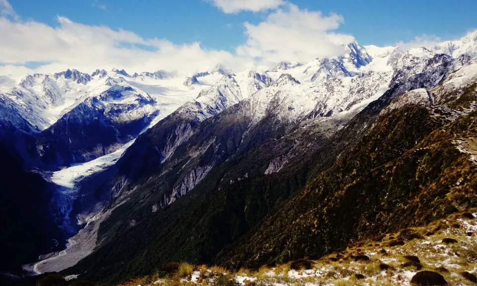
Mount Fox Route
Last Updated: 24th Feb 2026
Open
Grunt Factor: 32 ?
Gnarl Factor: 98 ?
8.0km
1200m
1205m
1345m

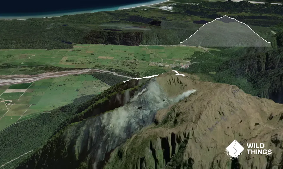
Trail Map
This Topo layer only covers NSW/ACT.
Switch to another map layer when viewing outside this area.
Switch to another map layer when viewing outside this area.