Last Updated: 21st Apr 2024

Intermediate

Save Trail Save

I've done it Done

Mount Titi Full Bush

Paekakariki, Wellington

Submitted by Gary Crilley

Last Updated: 21st Apr 2024

Intermediate

Save Trail Save

I've done it Done

Grunt Factor: 27 ?

Gnarl Factor: 44 ?

11.4km

530m

530m

613m


Login as a VIP to see driving directions, distance and time.

Trail Map

Type of Run

Back country - remote

Loop

Very hilly

Dog Friendly

Native bush

Open farmlands

Run Makeup

22%
18%
37%
10%
13%

Farm Road / 4WD Track

Easy Single Track

Moderate Single Track

Technical Single Track

Untracked / Route only

Average Uphill Gradient: +10.1%

Average Downhill Gradient: -9.7%

Trailhead

Login as a VIP to see the trailhead information.

Estimated Times to Run

Not suitable

Slow

2:15

Moderate

1:30

Fast

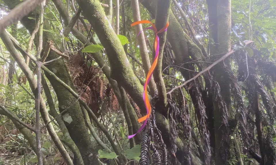
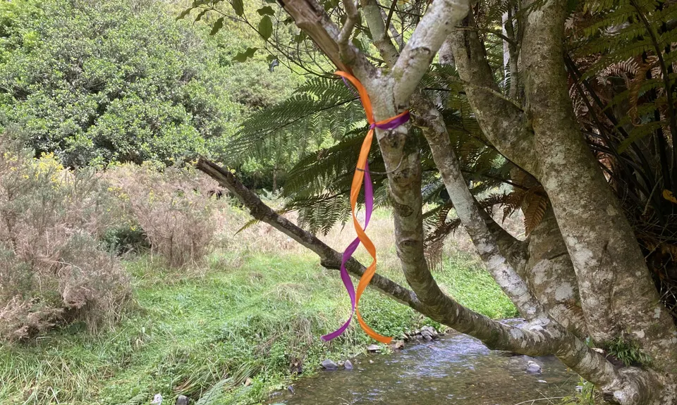
This trail can be tough for the navigationally insecure, so at the request of a couple of members Gary (the author of this guide) has ribboned it. Purple and orange ribbons show which track to take at every branching.

Aug 2021: A large matai has fallen and obliterated a portion of the ascent up Titi. Gary has now cut a diversion around the tree and marked it with blue ribbons.

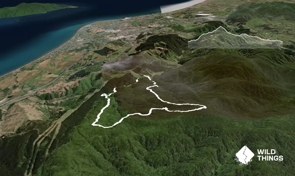
Head east across the creek (this is a wet track with numerous creek crossings). Go straight up the valley in front of you, following a quad bike track. Do not turn right and go up the steep gravel road. You are now climbing Mount Titi. Note: this is a downhill mountain bike route so keep your eyes and ears alert for fast moving wheeled objects.

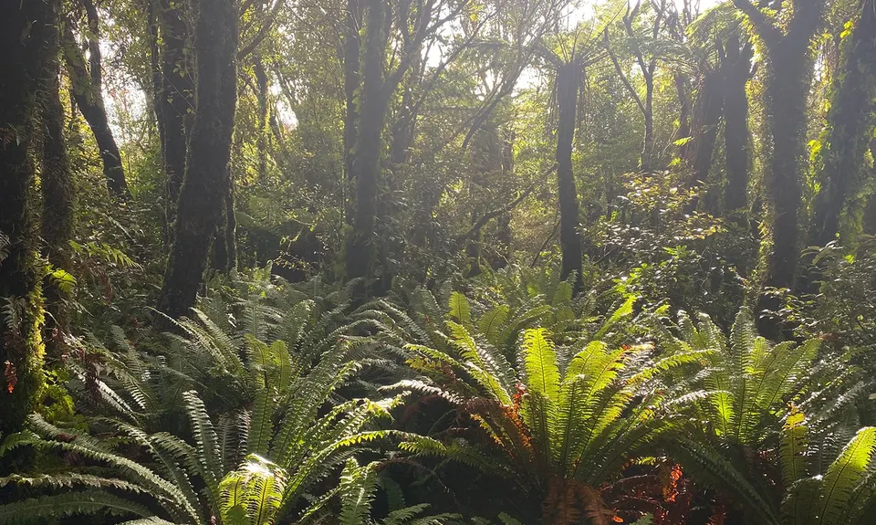
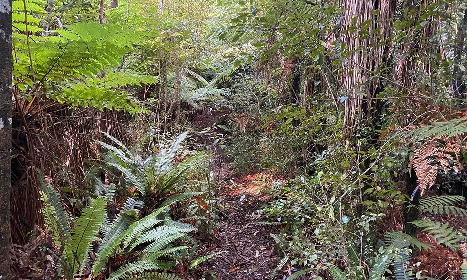
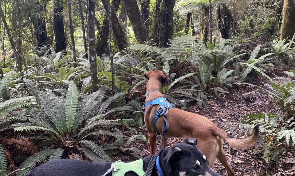
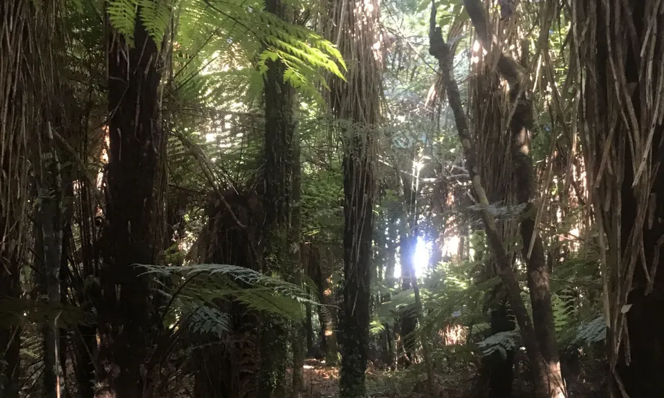
At approximately 2.9kms (300m climb) the track crests a rise and begins to go down. At this crest a narrow track branches sharp left and this is the beginning of the single track to the peak. Now you’ll run through some beautiful bush rarely seen by the public. When you get to the tall, mossy trees, the track will divide numerous times as it has been made by descending mountain bikes, but the undergrowth is clear. Just follow the obvious bike tracks in the mud, always heading up.

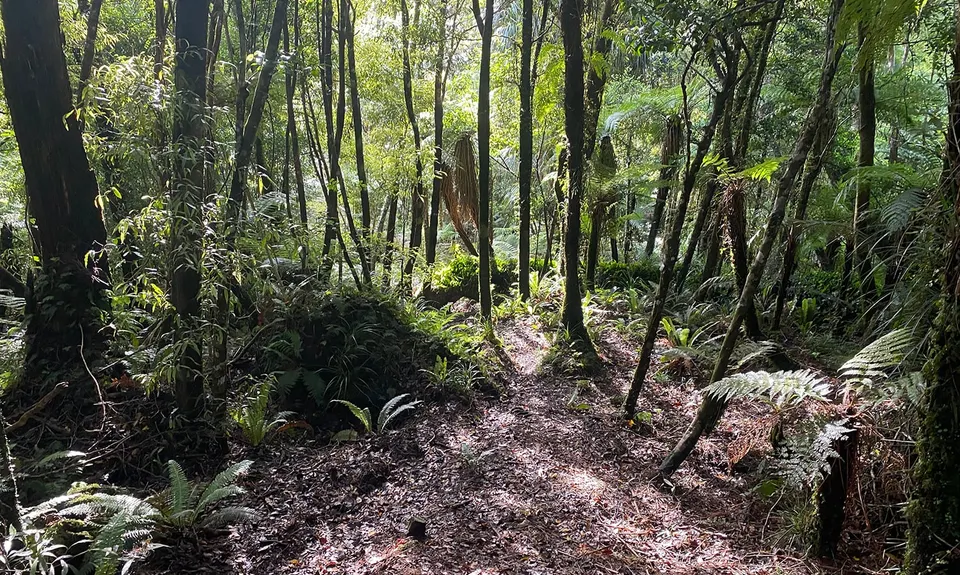
When you reach an altitude of just under 600m (a climb of 400m from the start), the track crests and begins to go down. At the crest is an obvious track up and to the right. 40m along this track is Titi peak. On your left when you reach the peak (roughly west) is a muddy track heading down. Follow it. The track is slippery, muddy and riddled with nasty little shoelace roots that just live for tripping runners. But it is beautiful, untouched, technical masterpiece that rewards the brave.

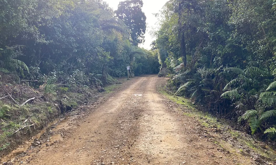
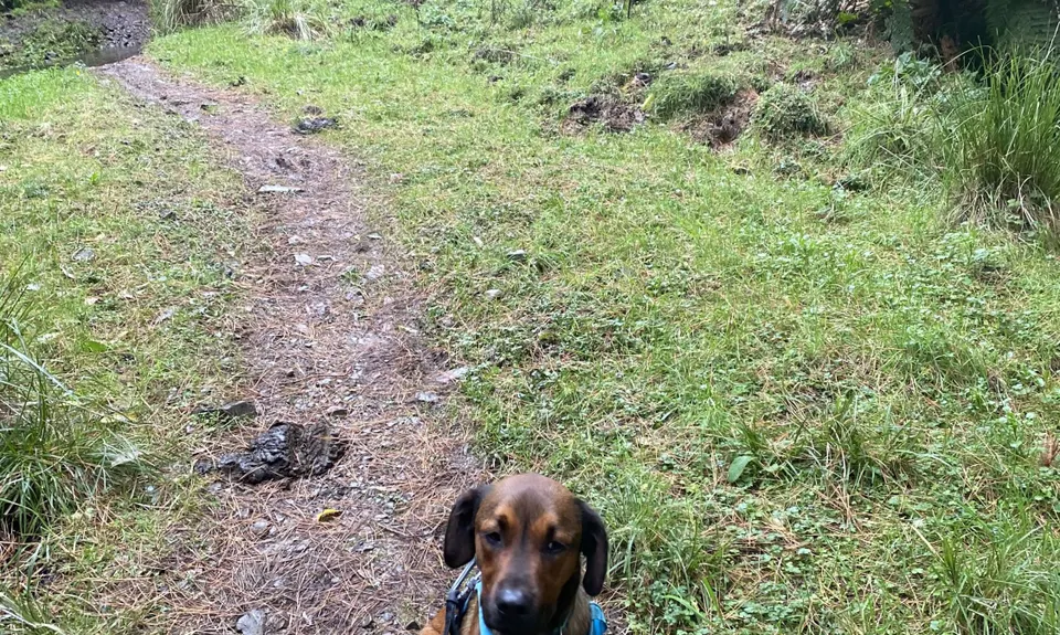
Keep going down until you reach an old, overgrown 4WD track, then turn left. You will have to deviate from the track occasionally to avoid steep sections and tree falls, but the alternative tracks are easy to follow. Eventually you’ll come out on Perhams Road, a broad clay 4WD track. Turn left and follow the clay road for 1.5kms.

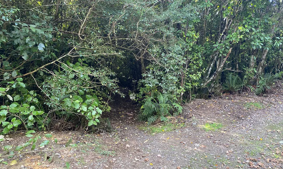
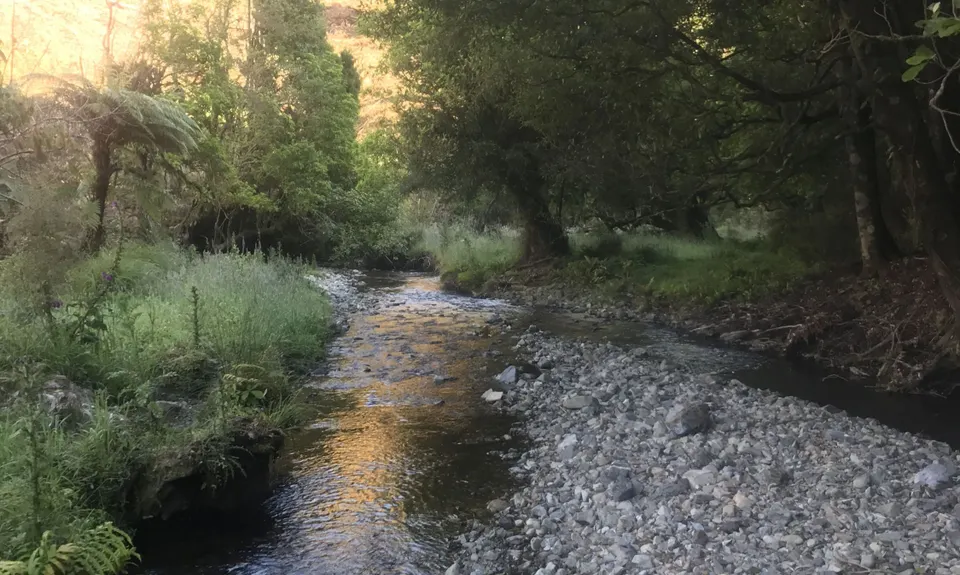
After you cross the bailey bridge there is a steep climb. When the climb starts to level out, you will find a hole in the bush wall, and through the hole is a straight single track that descends gently. Here begins a fantastic downhill run that will remind you why you’re not a road runner. Keep running down the ridge, all the way to the creek at the bottom.

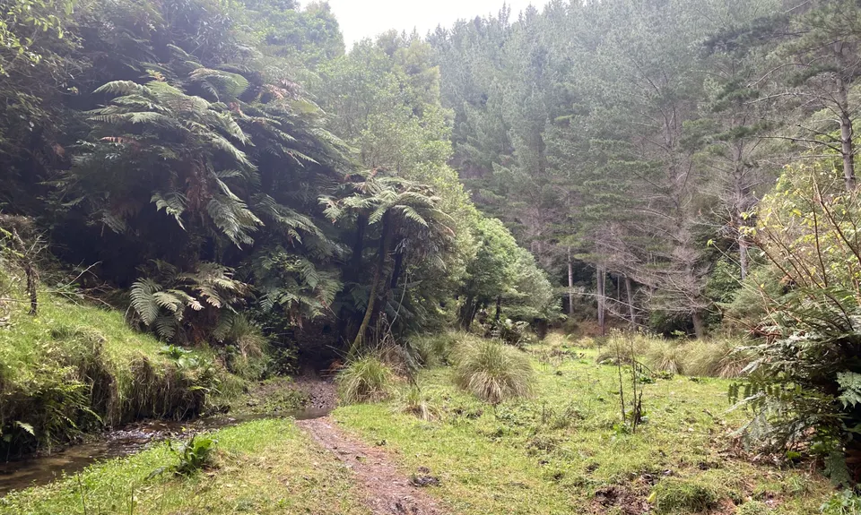
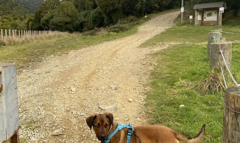
Once on the valley floor you head downstream for 1.5kms. There is no actual track here, but the valley is flat and there are motocross bike tracks everywhere. You will cross the creek several times but cannot get lost as long as you stay on the valley floor. When you see the green hut, move to the right of the valley and follow the fenceline. Perhams Road is now visible up and to the right. Cross the gate when you come to it, and rejoin the 4WD track for the last kilometre or so to the finish.

This trail includes the peak Titi .

The Maungakotukutuku Reserve and Akatarawa Forest are criss-crossed with numerous 4WD tracks, easily navigated with road signs at intersections, and popular with trail runners. Beyond these clay ‘roads’, however, the bush is dense and formidable. But it is also criss-crossed with a multitude of unmarked single-track routes ideal for runners. This is a route for runners who want the full bush experience. Much of this forest is remote, and rare native birds are returning. Keep your ears open.

Quite a bit of parking nearby. If the motocross brigade have snagged all the parks just come back up the road a bit and park beneath the big pines. Cars are generally safe from break-ins, but not from dust.

17 km

20 minutes

Yes

No

Hard.

There are NO track markers, and most tracks are not on the map. TopoMap or at least a compass is recommended. There are many tracks on this mountain, with many intersections. The key here is to go UP and LEFT. If the track splits or you come to a T intersection and one direction is down, choose the UP. If both directions go up (or down) choose the LEFT.
If you have a compass or TopoMap, just head toward Titi peak or generally east of south. Note; if you take the wrong track, you cannot get lost. They all go somewhere. You’ll just miss the mountain.
On the descent the instructions now are LEFT and DOWN.
To find the descending track from Perhams, keep an eye on the right side of the road. This is a wall of dense bush with a drop behind it. As the road flattens, there is only one hole with a track behind it. About 500m from the start is the only diverging track – sharp, downhill to your left. Ignore it.

Non-existent.

Short-sleeved thermal top, Seam-sealed waterproof jacket, Personal Locator Beacon (PLB), Whistle, First aid kit, Extra food for emergencies, Compass, Map

No taps or huts, but no farmland upstream either so any running water on the mountain should be drinkable. The creek at the bottom runs through farmland. The run is short, though, so take your own.

Very slippery after heavy rain, and with numerous creek crossings you need to watch the weather. You have to cross the creek downstream right at the start, though, so make your judgement here.

Most of these tracks are occasionally used by mountain bikes. Always keep alert for fast descenders.
And once again I have to mention that some of these tracks are not marked on any maps, have no track markers and may not have anybody on them for days, if not weeks. If you are navigationally challenged, take a friend. And if you go on your own, take a PLB.

Trail Legend

Michelle de la Rey

Michelle de la Rey

has completed Mount Titi Full Bush once in the last year.

Learn about Trail Legends.

You and Mount Titi Full Bush

As a VIP member you can record private notes for this trail, see all of your times and more.

Register Now

Already have an account? Login now

Trail Reviews

Wow, I absolutely loved this run. It had everything I enjoy about trail running. Beautiful unspoilt native bush, big climbs, lots of runnable single track and 4WD track, some not-so-runnable gnarly stuff, mud up to my knees then lots of creek crossings to wash it all off again. Oh, and complete and utter solitude. Bliss! I just wouldn’t have known these tracks existed. Runs like this are what the Trail Directory is for. Thanks so much - this will now become a favourite of mine when I’m on the Kapiti Coast.

Joe Benbow

January 1, 2021

Really great trail. I loaded the GPX file onto my watch, which helps stay on track at the various forks in the trail. First time I ran this I missed the requirement to 'stay right in the valley and follow the fence after the green hut' so spent more time in the valley than needed. Found the right path on my second attempt. Will be a frequent run of mine now I know this trail exists. Thanks heaps for sharing Gary.

Glen Strong

June 24, 2020

Login to submit a review

Trail Running Community

Find people who are interested in or have completed this trail run.

You must register or login to view this feature.

Register Now

Overlapping Trails

These overlap with this trail to some degree. You may wish to combine them but please note that to qualify for FKTs on these runs you should record a separate activity for each.

Perhams Road Loop

Perhams Road Loop

Length: 22.2km

Level: Intermediate

Other trails nearby
Whareroa/Akatarawa Loop

Whareroa/Akatarawa Loop

Length: 48.0km

Level: Intermediate

Escarpment Track

Escarpment Track

Length: 16.0km

Level: Beginner - Intermediate

Te Ara Ramaroa Loop

Te Ara Ramaroa Loop

Length: 6.5km

Level: Beginner

Whararoa Farm Steps

Whararoa Farm Steps

Length: 6.0km

Level: Beginner - Intermediate

Find more trails and peaks nearby