Last Updated: 2nd Mar 2026
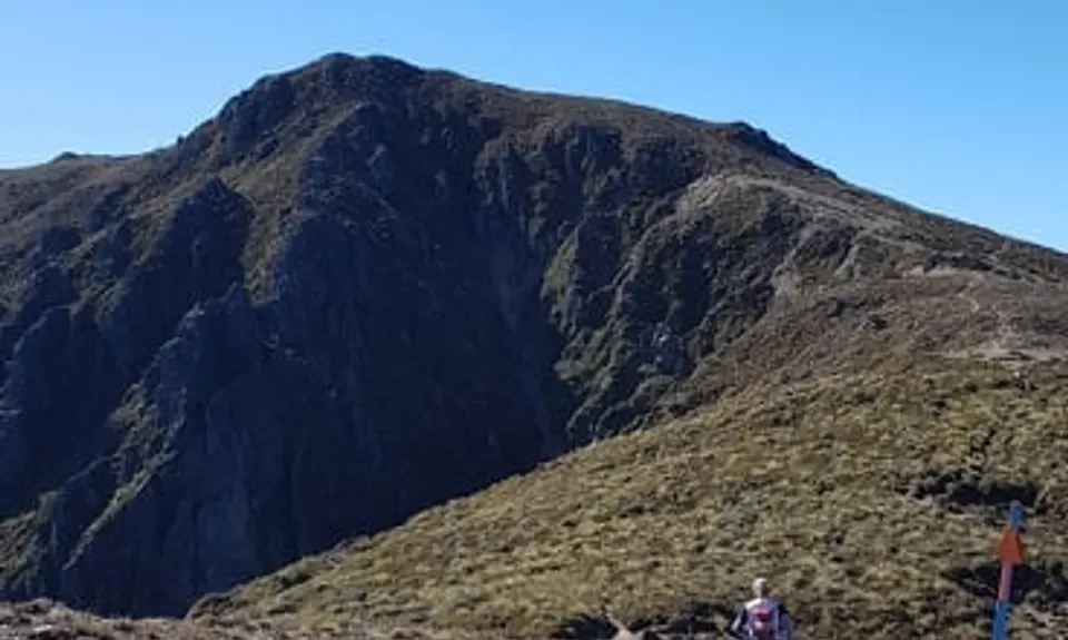
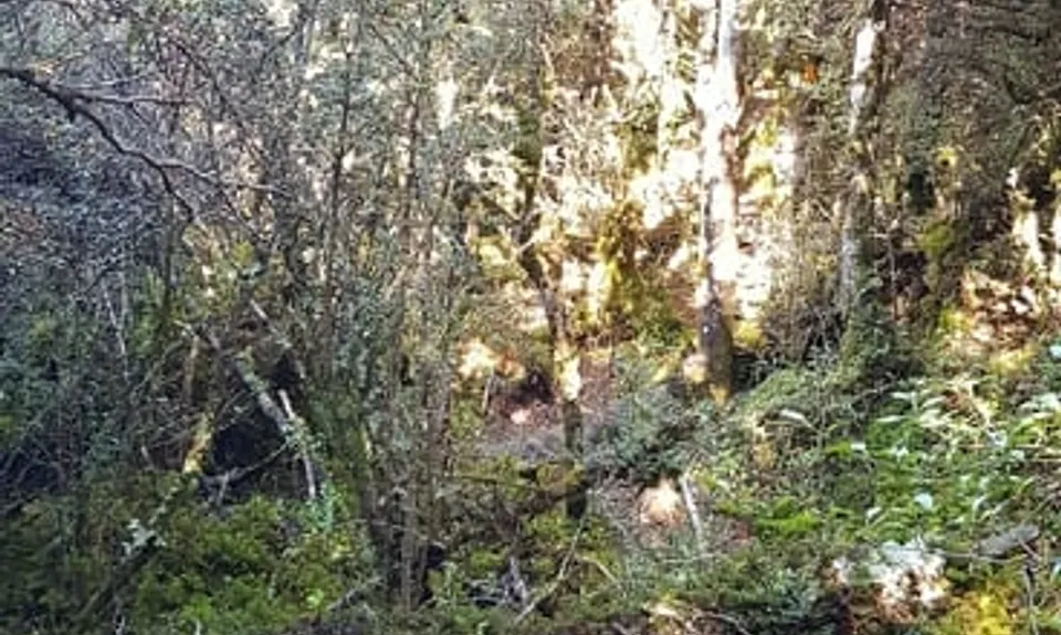
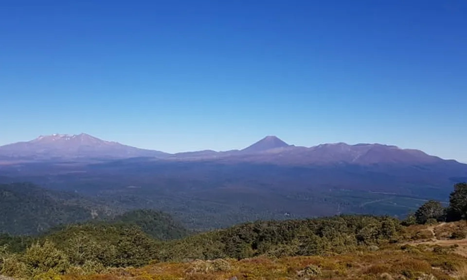
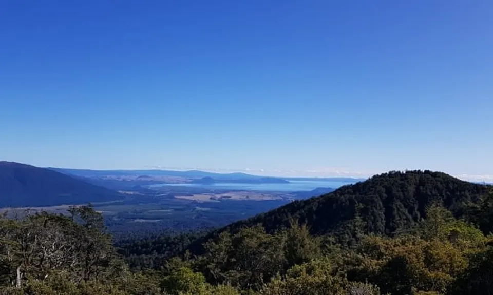
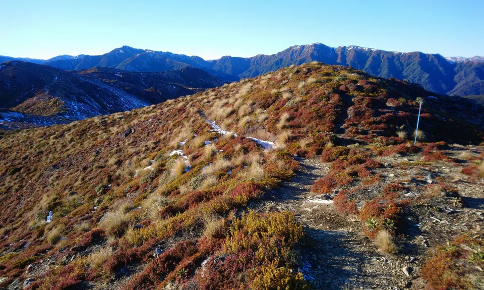
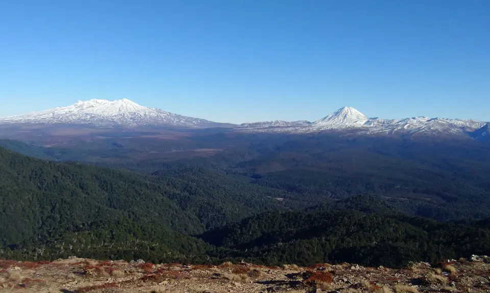
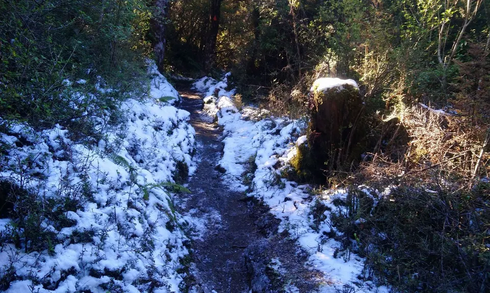
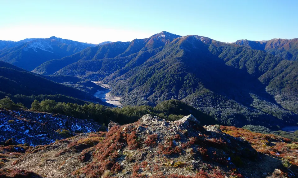
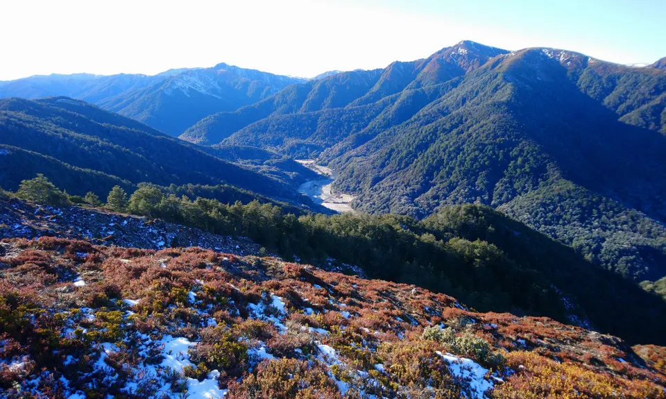
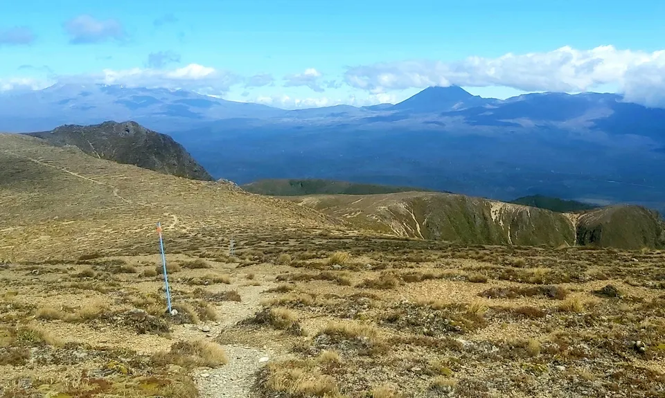
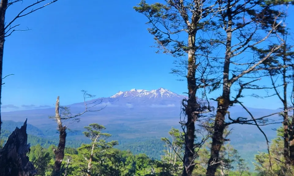
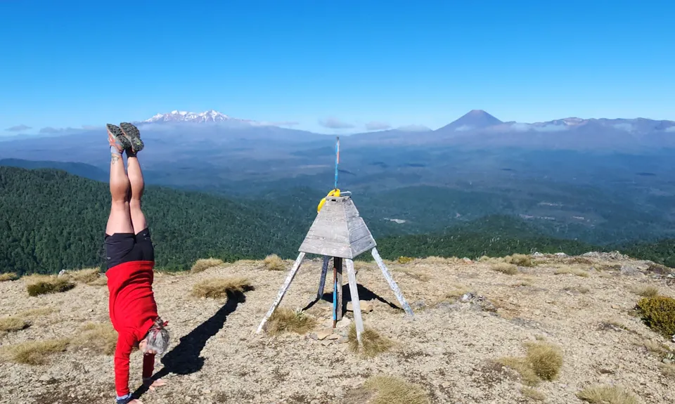
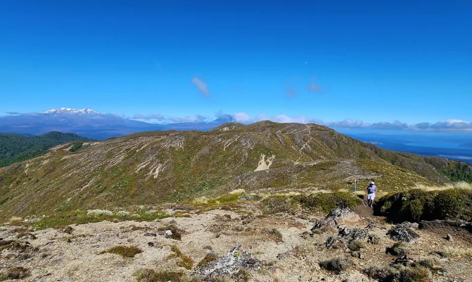
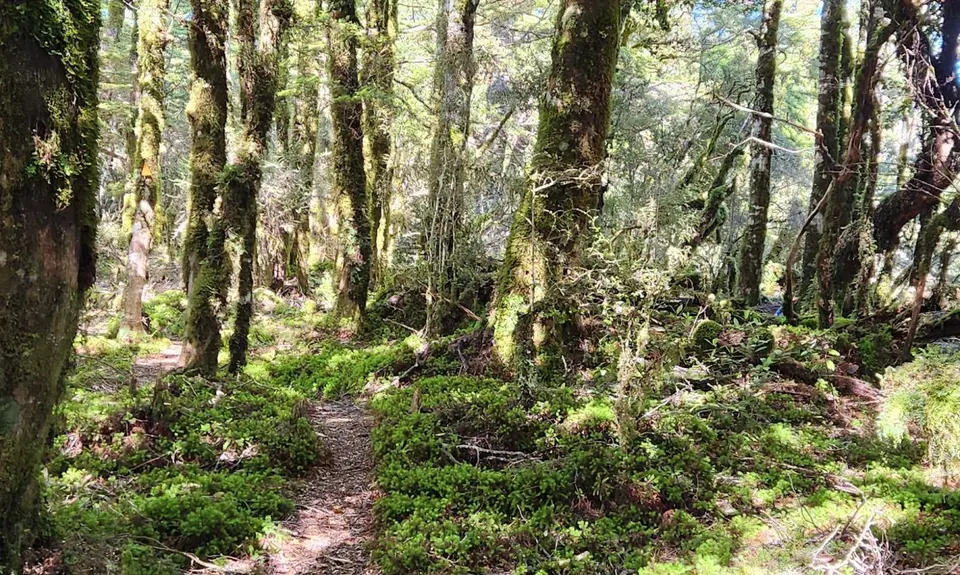
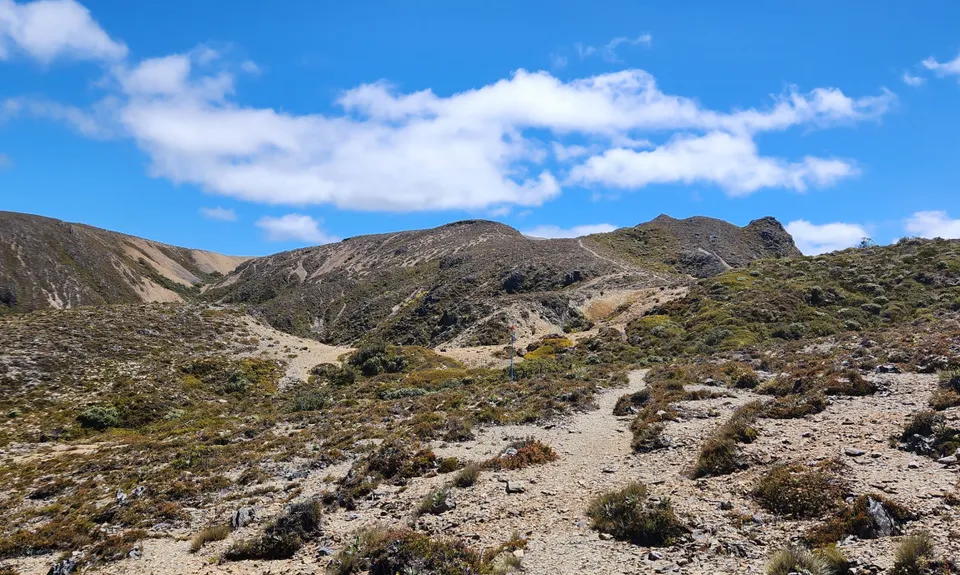
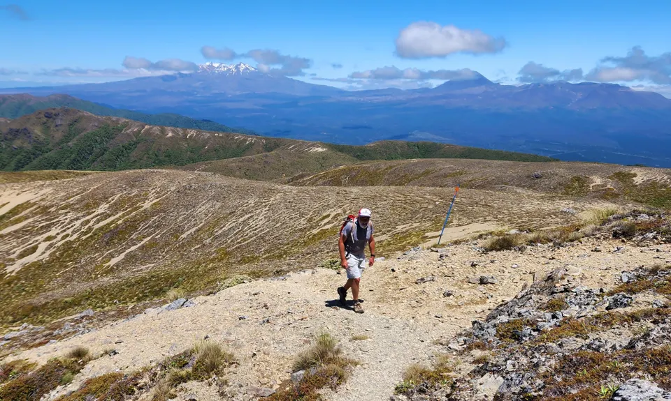
Urchin Umukarikari Loop
Last Updated: 2nd Mar 2026
Open
Grunt Factor: 44 ?
Gnarl Factor: 50 ?
25.6km
1450m
1450m
1591m
.jpg)
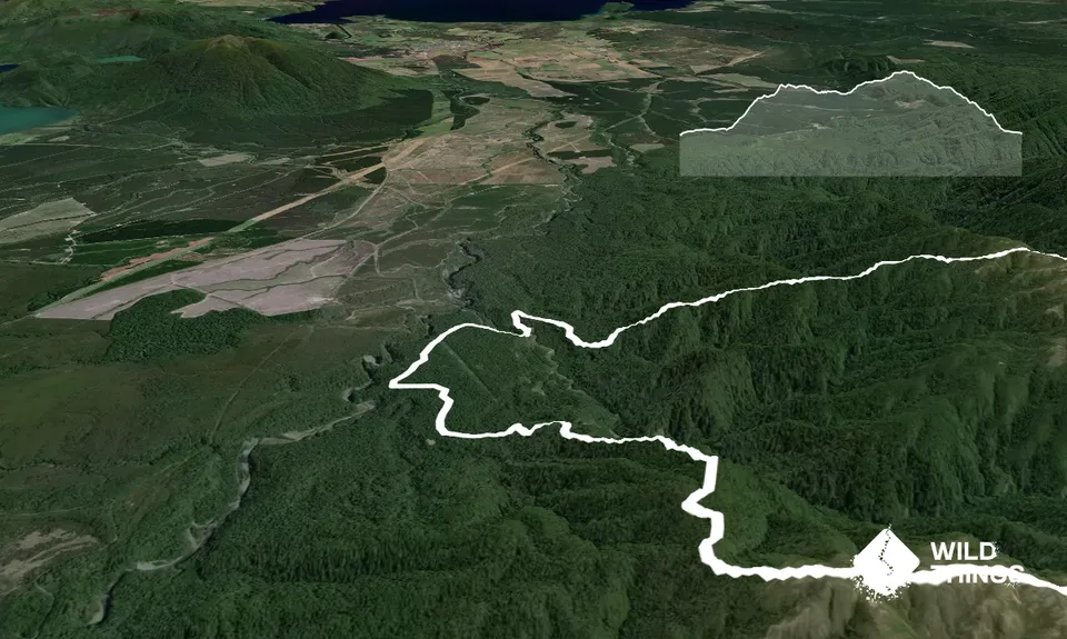
Trail Map
This Topo layer only covers NSW/ACT.
Switch to another map layer when viewing outside this area.
Switch to another map layer when viewing outside this area.