Please note: Permission must be sought from Helisika Taupo to access the private land covering the Junction Top area. This is a hunting block, and permission will not be granted if there are hunting parties booked into this area.
Helisika can be contacted with respect to access: https://www.helisika.co.nz/contact-us/
Click here for a map of East Taup Lands (the area in question is the south-west corner of Kaimanawa 1F&2B)
Click here for further information and a map of the ETL area relative to the conservation estate.
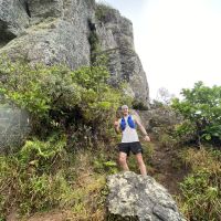
This is a true mountain run. In fact a true mountain mission. It should not be undertaken lightly, or by anyone who is not well experienced with good navigational skills, and definitely not in bad weather or with poor visibility.
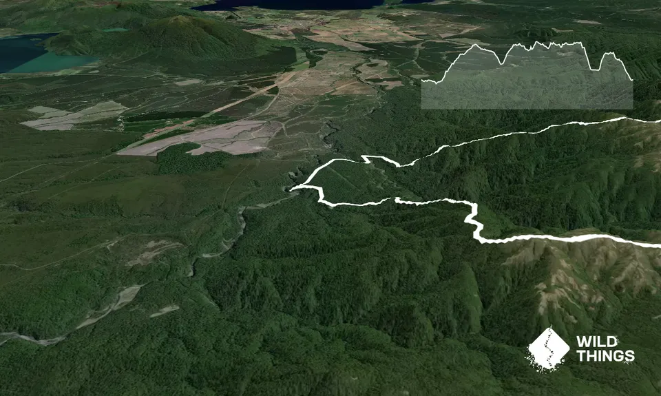
From Urchin campsite follow the trail down to Pillars of Hercules (well worth a look) then pick up the gravel road, taking 2nd right, 1st left and first right to get to the start of the Umukarikari Track.
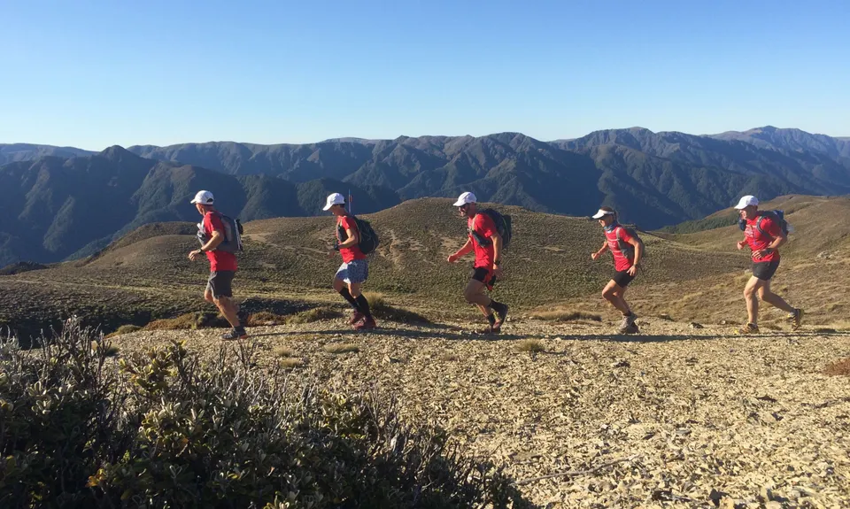
A long, steep uphill slog through the bush is eventually rewarded with stunning views and brilliant open ridge running, leading to Umukarikari (1591m) and eventually dropping steeply to the Waipakihi River. Fill up with plenty of water here as you'll be several hours along the tops before you see any more drinkable water.
Cross the river, call in at the hut to sign the intentions book and carry on following the poled route east and up, up, up to Pt 1573. Here you need to start heading south, following the sign towards Raketuangiangi. Do NOT miss this turn!
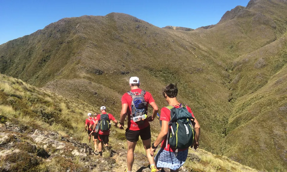
You are now in serious back country following a ridge south, that is sometimes poles and sometimes not. There is sometimes an obvious trail to follow, sometimes not. Keep a close eye on the map to avoid following a wrong spur.
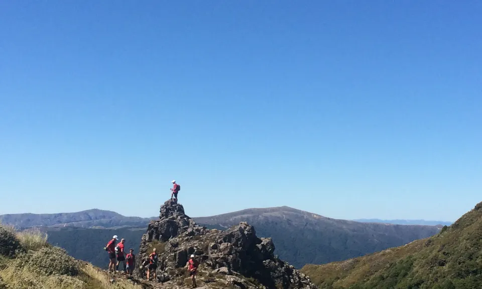
You will travel over Pt1660 and eventually reach Thunderbolt (1633m), where your route starts to head in a more westerly direction again following a sketchy & sometimes unmarked route along the tops to Motutere (1646m)
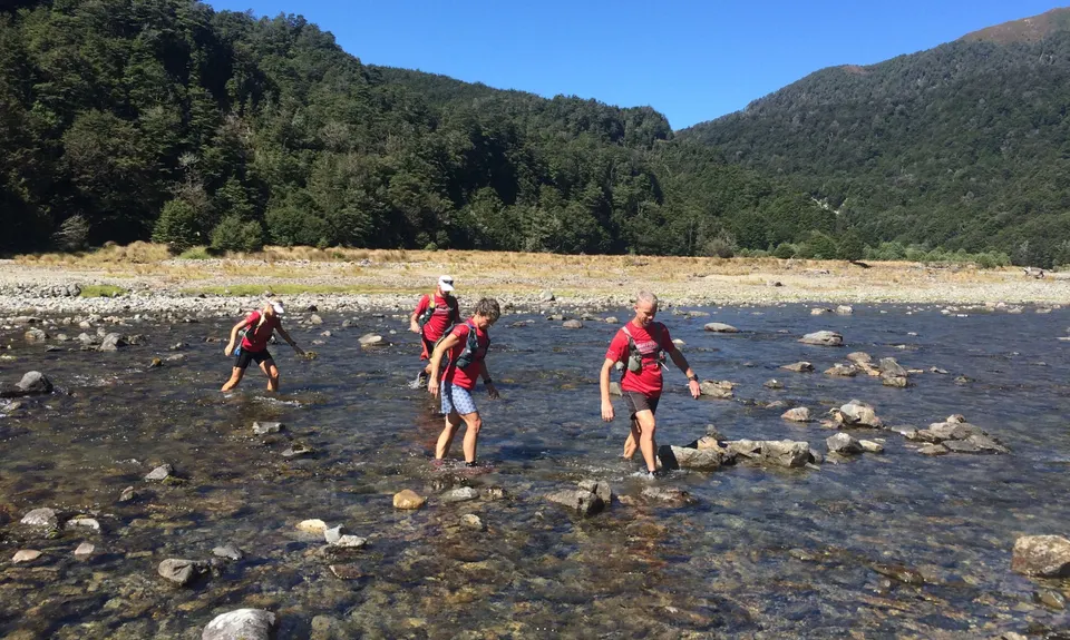
From here head west over Pt1526 and then pick the right spur to get you to the marked start of the Thunderbolt Track that delivers you through the bush and back to the Waipakihi River.
Take on more water, then head downstream initially on the far (true right) side. You will likely have to cross the river once or twice before picking up the marked start of the Urchin Track a couple of kms away. The route in the valley is again poorly marked at best but the going is relatively easy in amongst the tussocks.
Urchin Track is a lung-busting 450m climb to your last summit of the day. Be sure to turn left (SW) after emerging from the bush, not right (which leads back to Sharp Cone and Umukarikari.)
From the top of Urchin it's a stinking 3-4 km downhill through the bush to arrive at the 4WD track that leads downhill back to Urchin campsite, a little over a km away.
Congratulations, you have just completed one of THE classic circuits in NZ mountain running.