Last Updated: 11th Jan 2026
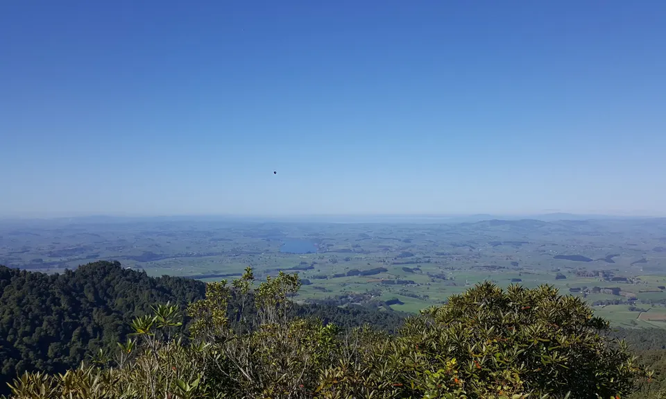
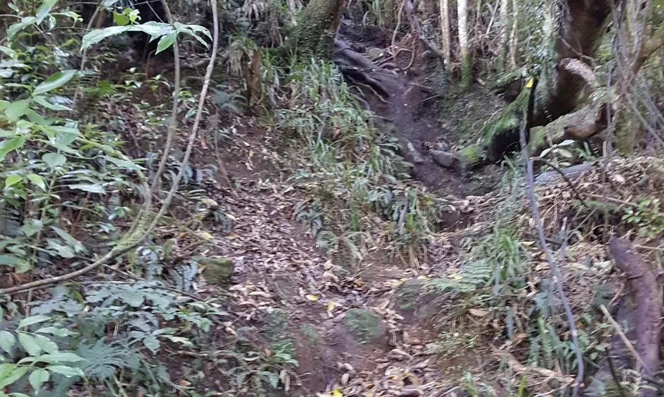
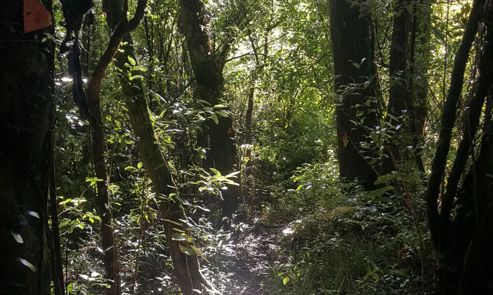
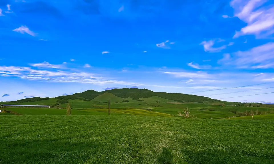
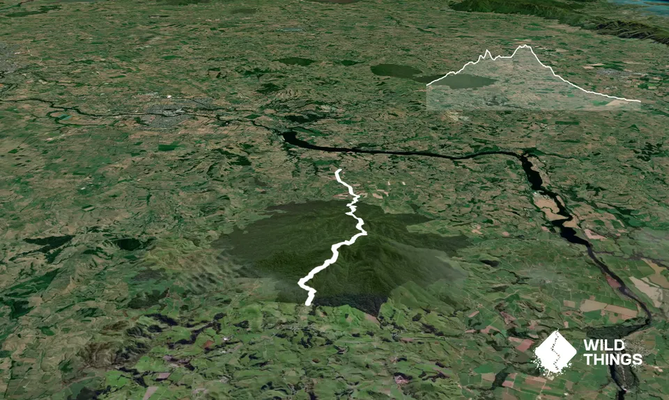
Maungatautari Mission
Last Updated: 11th Jan 2026
Open
Grunt Factor: 23 ?
Gnarl Factor: 67 ?
13.0km
620m
830m
780m
Trail Map
This Topo layer only covers NSW/ACT.
Switch to another map layer when viewing outside this area.
Switch to another map layer when viewing outside this area.


