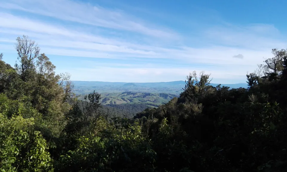
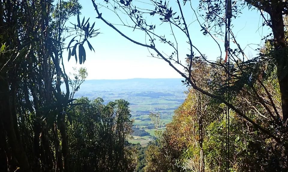
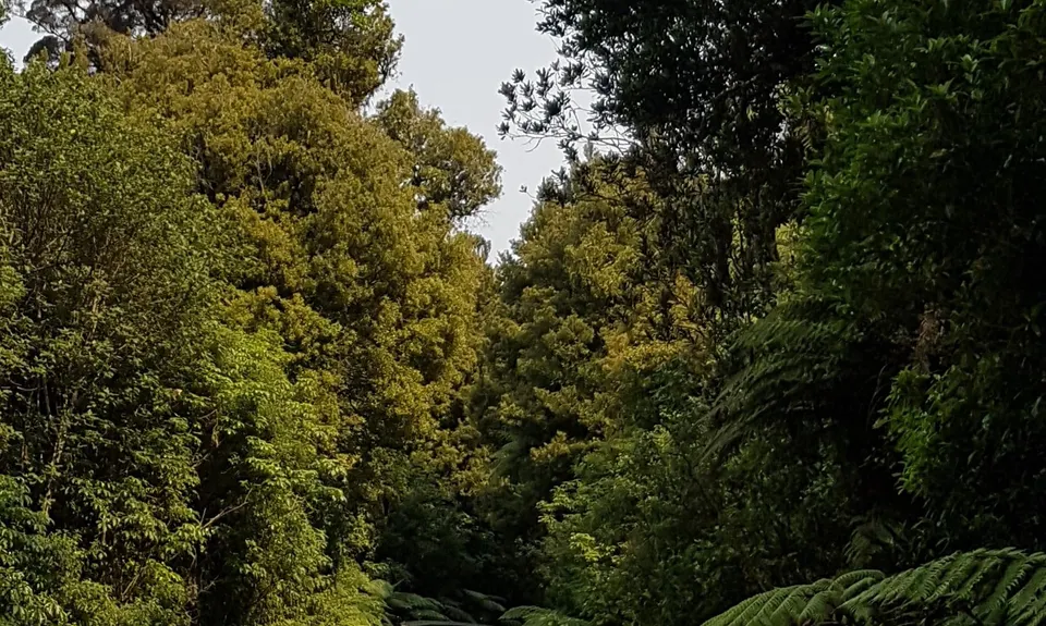
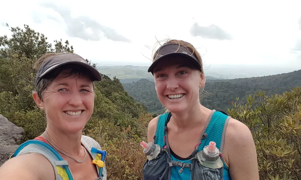
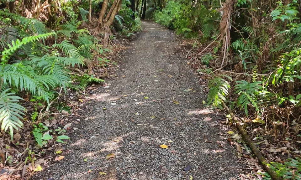
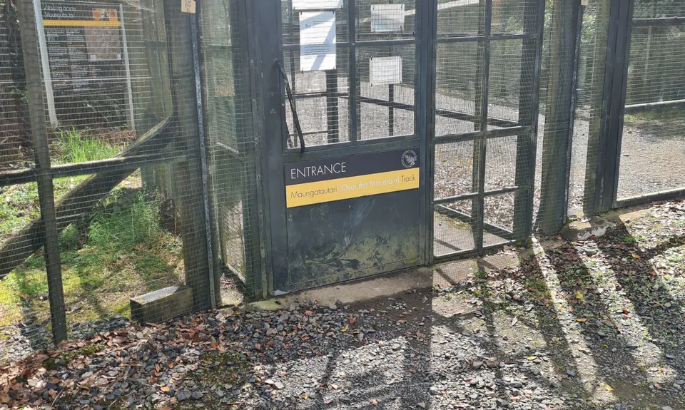
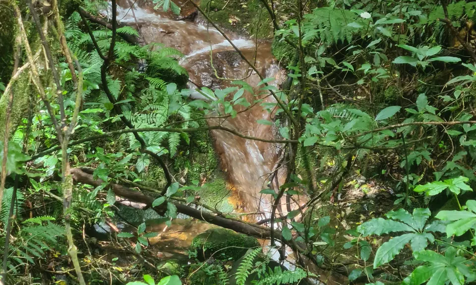
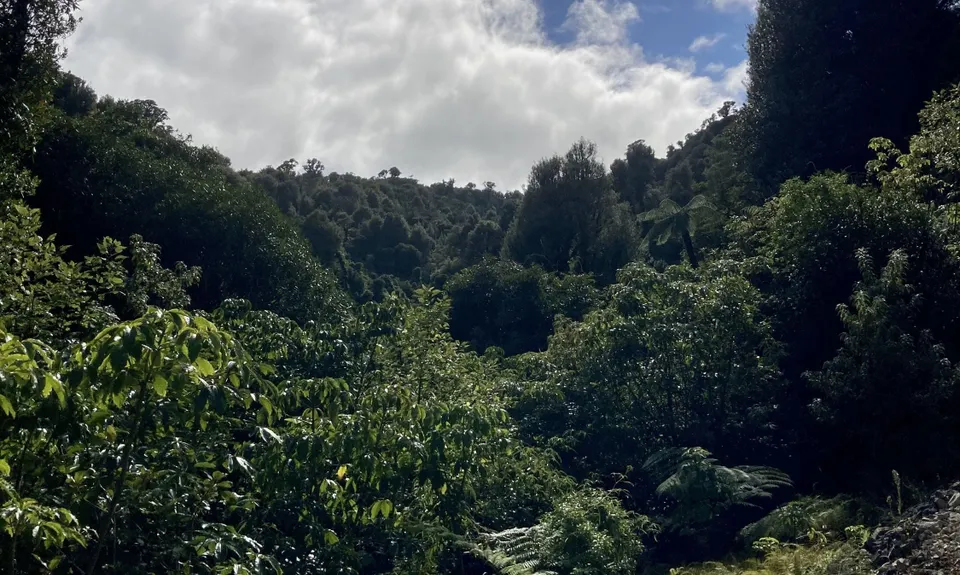
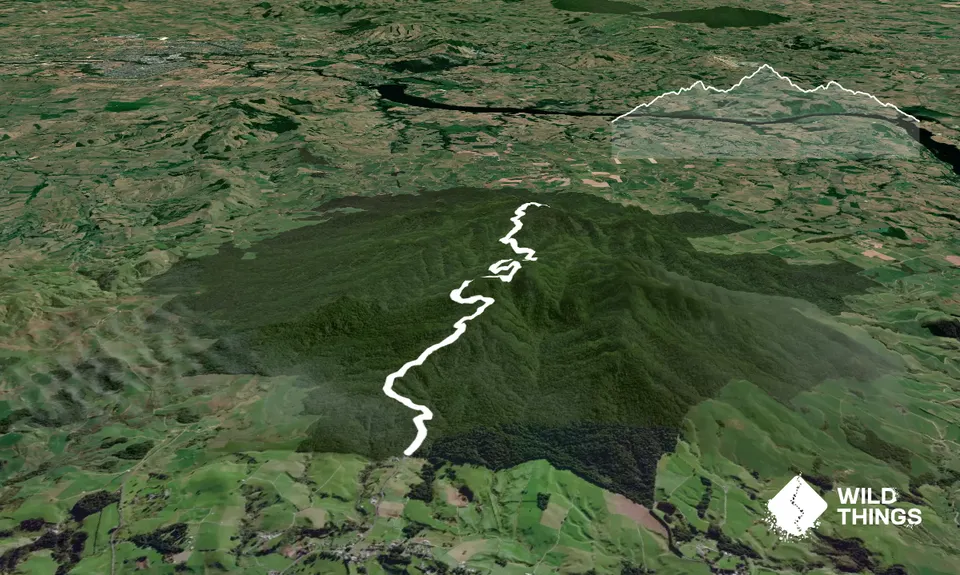
Maungatautari Sanctuary MountainBeginner - Intermediate
Submitted by Lance Knauf
Front country - easily accessible
Out and Back
Undulating, some big hills
Native bush
Beginner - Intermediate
3:00 (Slow)
1:45 (Moderate)
1:15 (Fast)
-12.7%
+12.7%
Fastest Known Times (FKTs)
Please set your gender to see your position on the FKT leaderboards.
The more , the harder the FKT will be to beat. Learn about Fastest Known Times.
Description
The original track which heads over the three peaks of Maungatautari, Pukeatua and Rocky outcrop is accessed at the same location in the north and south of the mountain but is much steeper and more technical (good luck running). The Wairere Traverse track opened in 2016 is much better suited for running with a well formed gravel/forest quad bike track. I chose to do a out and back along the Wairere Traverse but this could easily be turned into a loop taking the old track back down the to the visitor centre (this will take longer due to technicality).
From the carpark head towards the visitors centre where signs point towards "Over the Mountain Tracks" - follow these, pass through the fences and you are on your way. The track starts following the border of the southern enclosure where signs indicate where to turn off following a well formed track through the forest.
After about 2km the old track over the peaks splits off. The Wairere Traverse continues to wind its way up the mountain staying on the western side of the peaks undulating and curving its way up to the peak of Maungatautari. The track intersects with the old over the mountain track about 5 mins north of the Maungatautari Peak, follow the board walk to the top. If you are completing an out and back return the same way you came, or if you are doing a loop continue towards the south from Maungatautari peak where the track follows the ridgeline back towards the visitors centre. The peaks of Pukeatua and Rocky outcrop provide much better viewing opportunities of the area. If entering from the north a slightly different approach has to be taken but you can still make a good challenging out and back or loop.
Make the most of the flats and down hill sections to stretch the legs as the uphills can be steep. The undulating nature of the track makes it possible to run most if not all the track while providing a good challenge. Don't expect to have great views as the trail has limited viewing opportunities but the beauty is winding your way through the native bush (no photos but trust me). This is a track where the Kereru count outweighs the people count 4 to 1 adding something special to the hard training.
Trail Community
Features of interest
The mountain itself is a feature of interest with it being the largest mainland predator proofed area in the country. Within the peripheral fence are two further enclosures at the north and south of the mountain. The southern enclosure is the more recognised, with short walks and information about the native plants and great bird viewing opportunities. Highly recommended to have a look around even if you don't want to tackle the mountain.
Make Up of Run
Farm Road / 4WD Track: 100%
Route Data
Reviews:
Overlapping Runs
The following trails overlap with this run to some degree. You may wish to combine them but please note that to qualify for FKTs on these runs you should record a separate Strava activity for each
Photos:
Your Trail Wishlist
All the runs that are on your To Do list (no limit).
Add to wishlist view wishlistWild Explorers
I did it!-
Access
The southern entrance into Maungatautari is located at the end of Tari Road which lies halfway between Putaruru and Te Awamutu (25 mins) along Arapuni Road. Tari Road intersects Arapuni road in the small township of Pukeatua. Head to the end of the Tari road (~1km) to the visitors centre and follow signs for "Over the Mountain Track". This entrance is the main entrance for the wildlife sanctuary so is well signposted. The track can also be accessed from the north of the mountain at the end of Hicks Road. This northern entrance is 19 mins away from Cambridge so would be a better option for those travelling from this direction.
The visitors centre delivers great information about the sanctuary and provides excellent car parking and toilet facilities. Cameras are installed overlooking the carpark. The cleanest long drops you have ever seen are also here at the start of the track.
26 km
25 minutes
No
No
-
Staying Safe
Easy.
Make navigation of this route super-easy by using the Capra app on your phone. View on Capra .
Generally good.
Lightweight fleece top, Long-sleeved thermal top, Seam-sealed waterproof jacket, Windproof jacket, Gloves, Beanie/thermal headwear, Personal Locator Beacon (PLB), Whistle, First aid kit, Extra food for emergencies, Survival bag, Survival blanket, Cellphone, Map.
Water is available at the visitors centre at the southern entrance to the mountain.
The track is through trees. Undergrowth therefore is damp year around. The old over the mountain track is at greater risk being especially muddy and slippery after heavy rains.
On the old track-slippery rocks and tree routes year round.
- Blog Posts and Articles
-
Sponsor this trail
See other runs nearby:
Te Waihou Walkway
Little Waipa to Arapuni
Woods Mill Track
Arapuni Swing Bridge to Jones Landing