Last Updated: 23rd Feb 2026
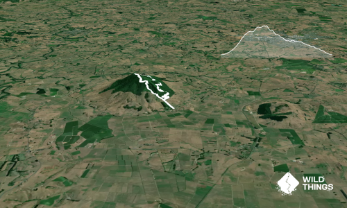
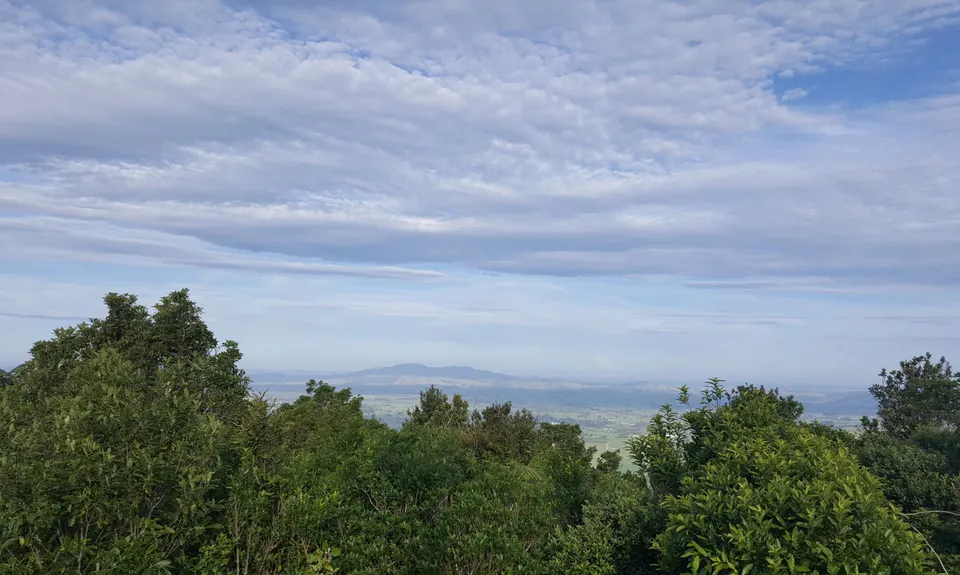
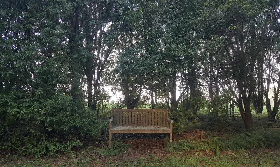
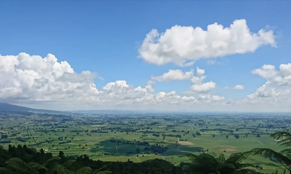
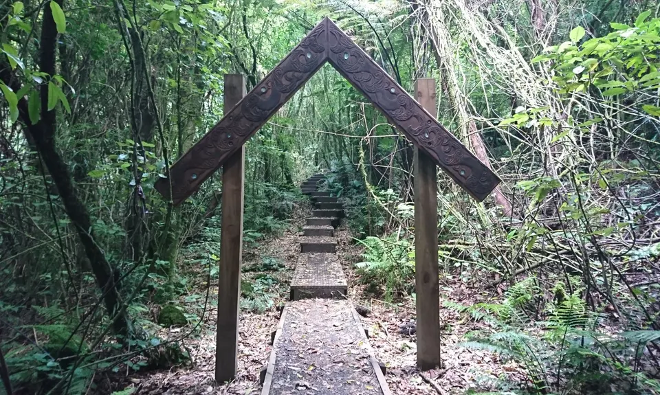
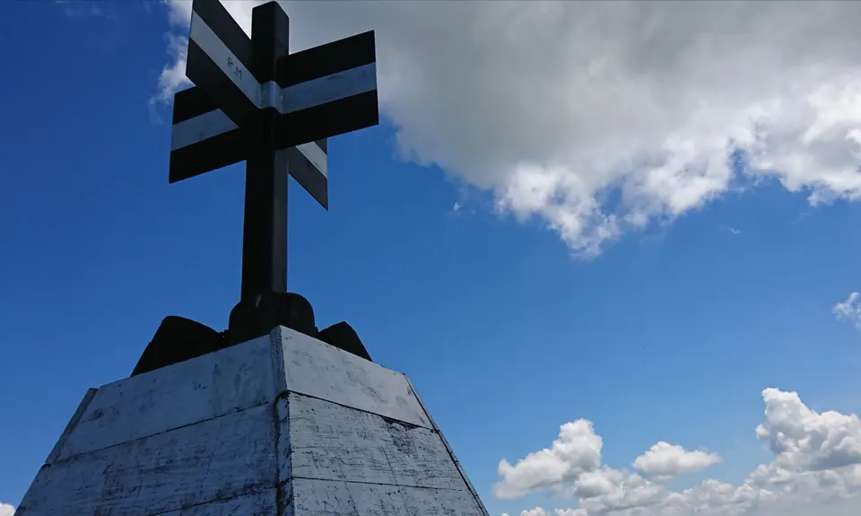
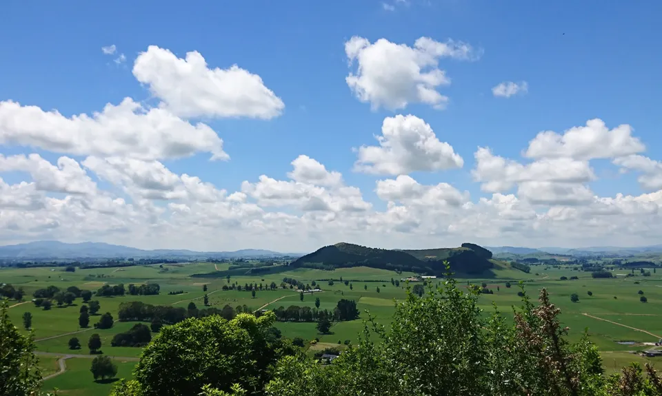
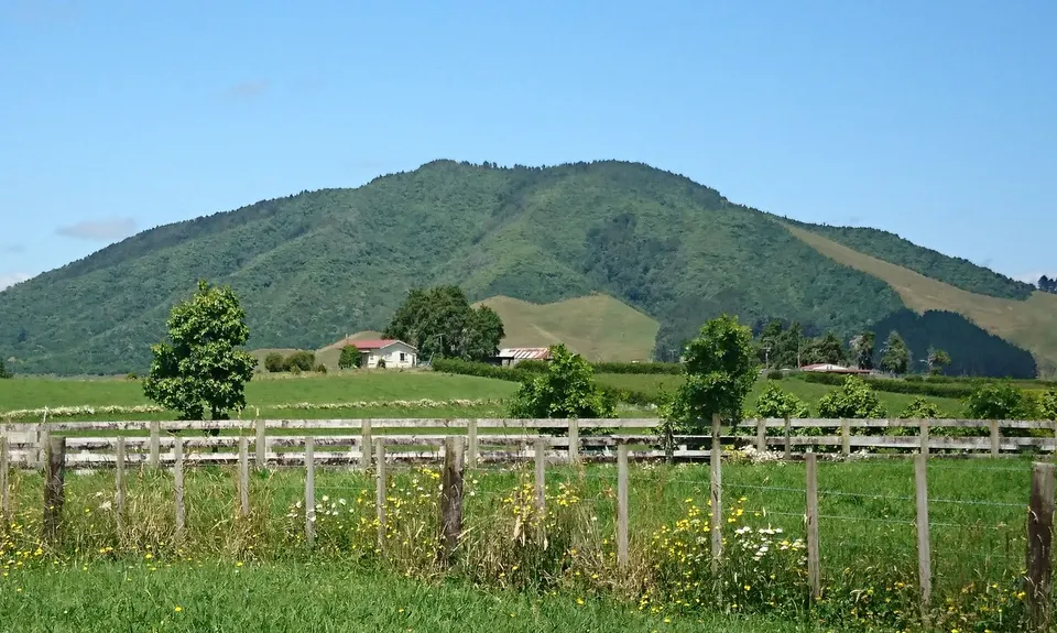
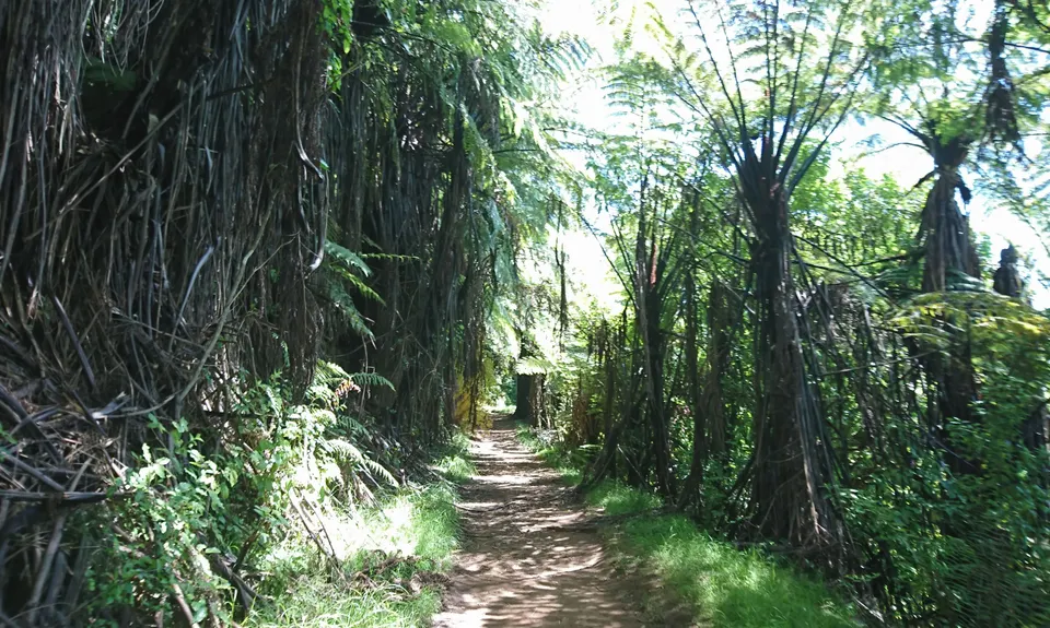
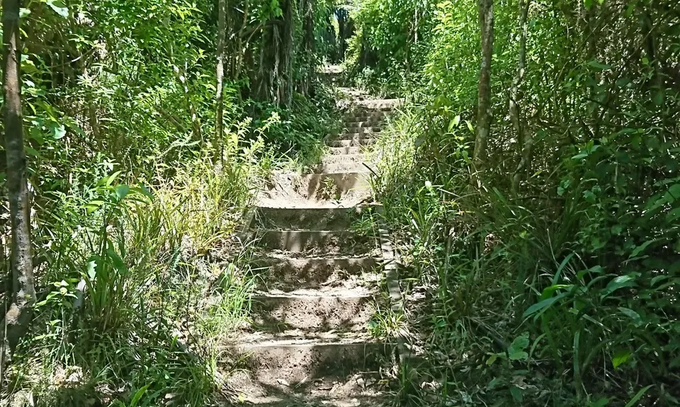
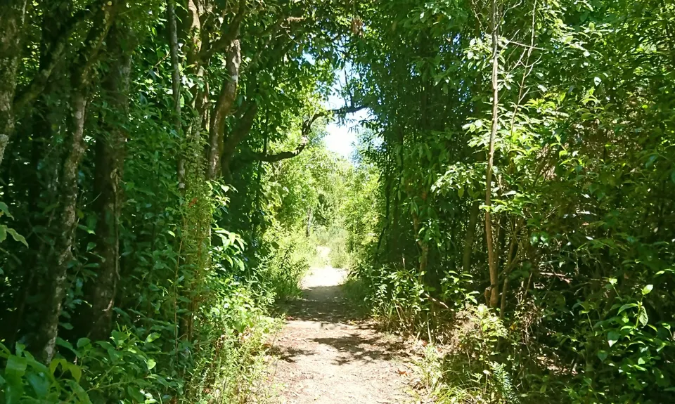
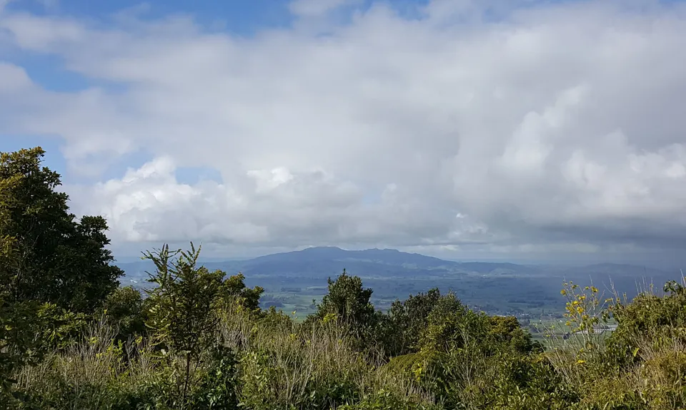
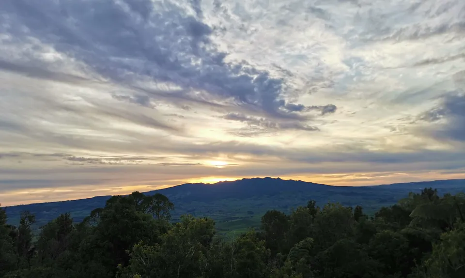
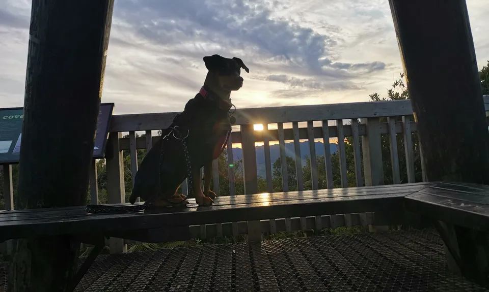
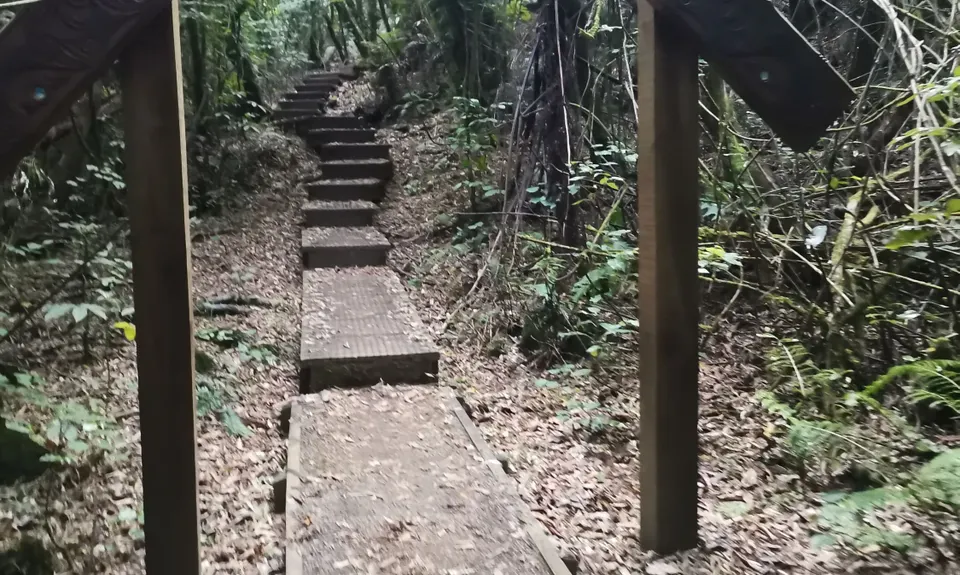
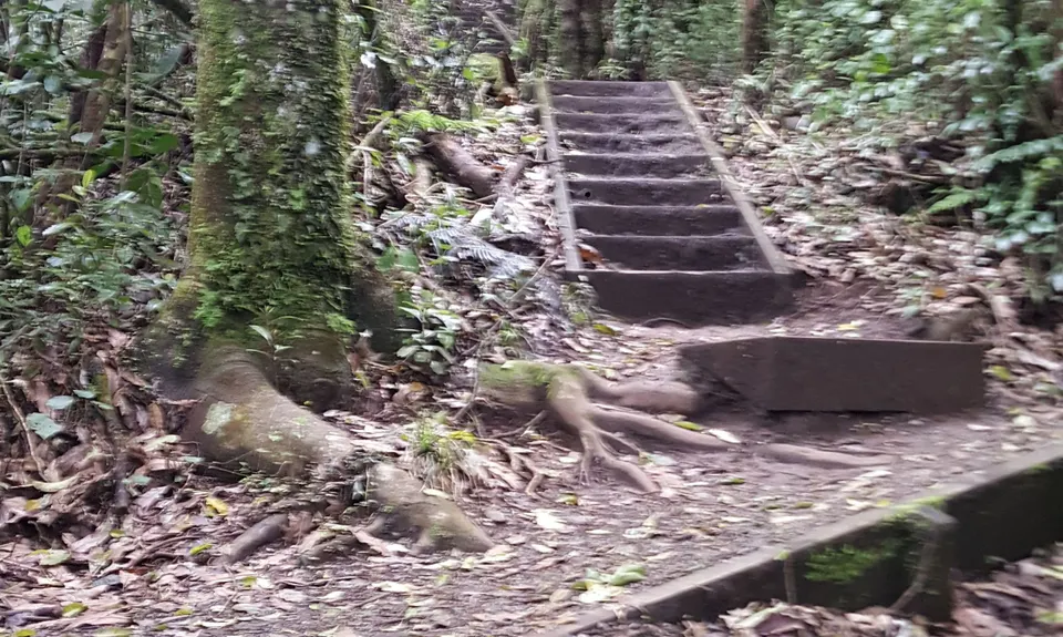
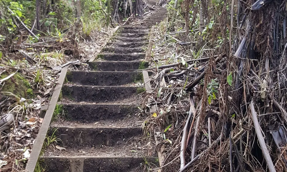
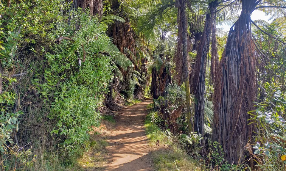
Kakepuku Climb
Last Updated: 23rd Feb 2026
Closed More info
Grunt Factor: 12 ?
Gnarl Factor: 14 ?
7.5km
450m
450m
449m
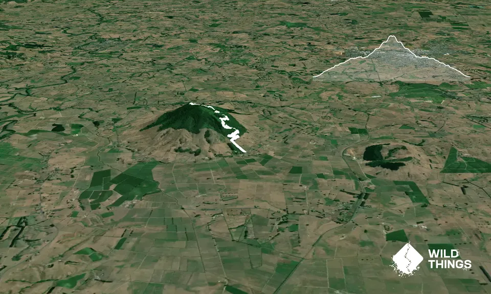
Trail Map
This Topo layer only covers NSW/ACT.
Switch to another map layer when viewing outside this area.
Switch to another map layer when viewing outside this area.