Last Updated: 28th Oct 2025
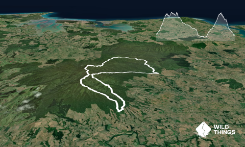
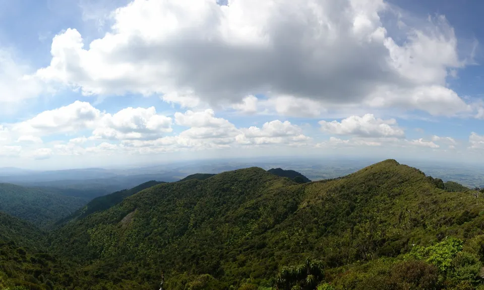
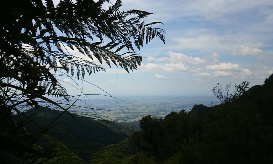
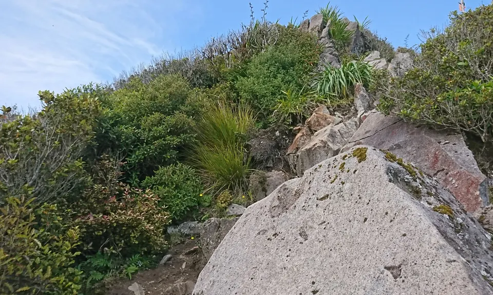
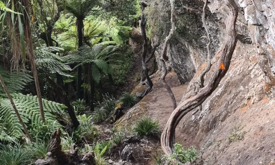
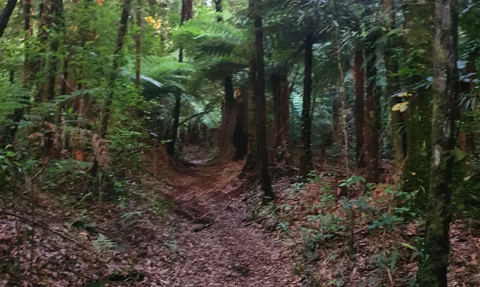
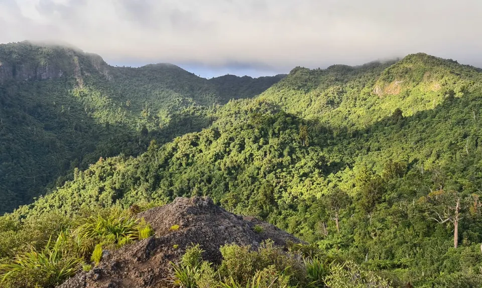
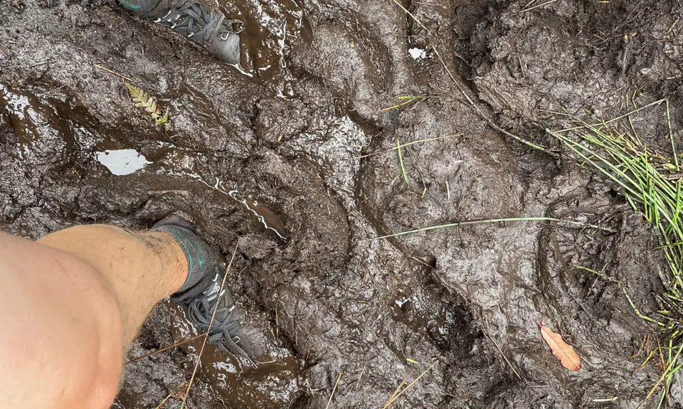
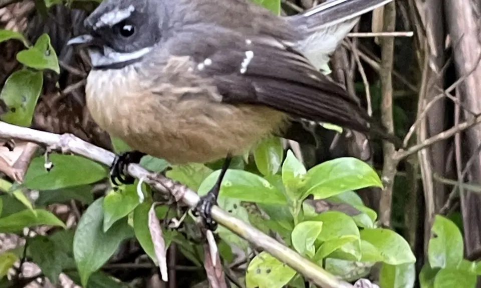
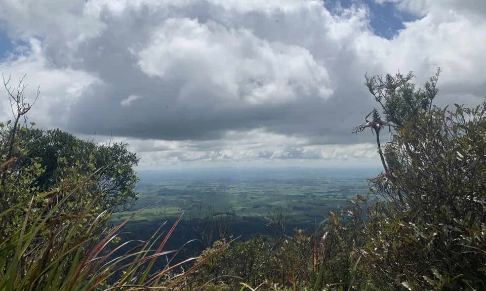
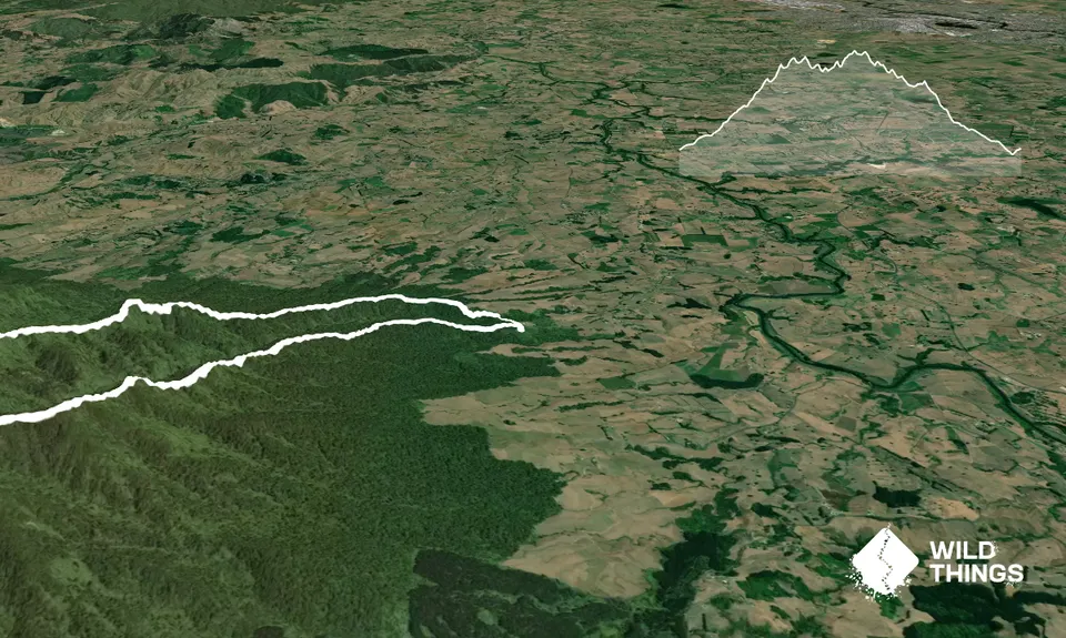
Pirongia Loop of Awesomeness
Last Updated: 28th Oct 2025
Open
Grunt Factor: 41 ?
Gnarl Factor: 80 ?
15.5km
1400m
1400m
929m

Trail Map
This Topo layer only covers NSW/ACT.
Switch to another map layer when viewing outside this area.
Switch to another map layer when viewing outside this area.