Last Updated: 6th Apr 2024
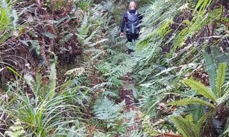
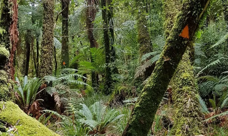
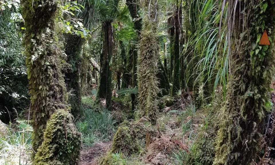
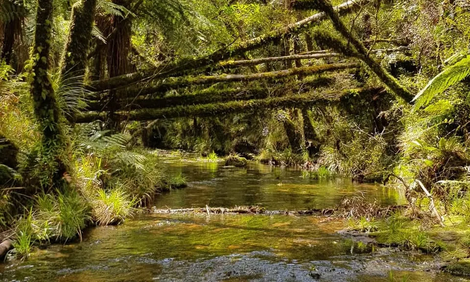
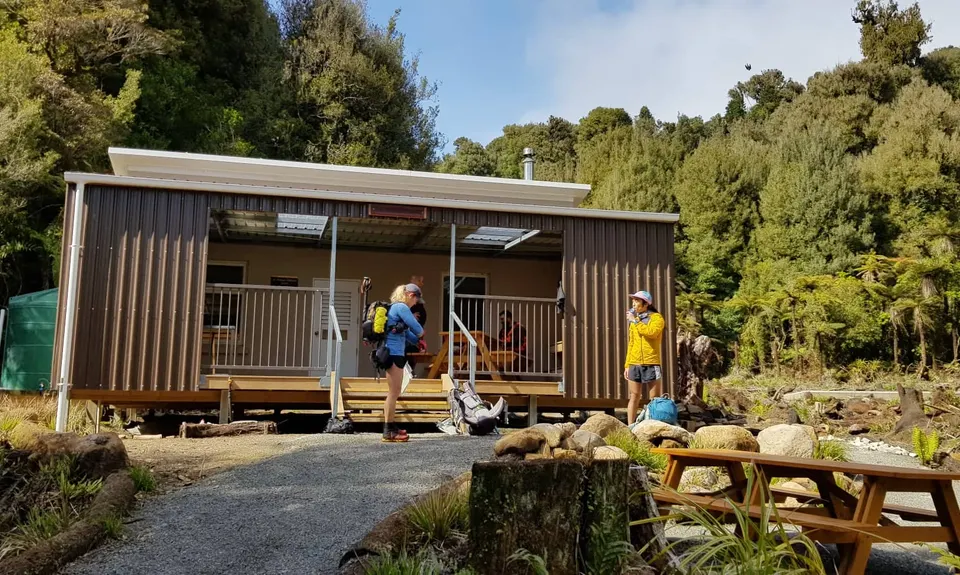
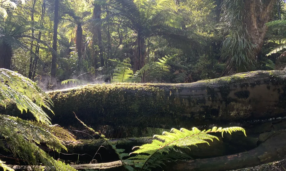
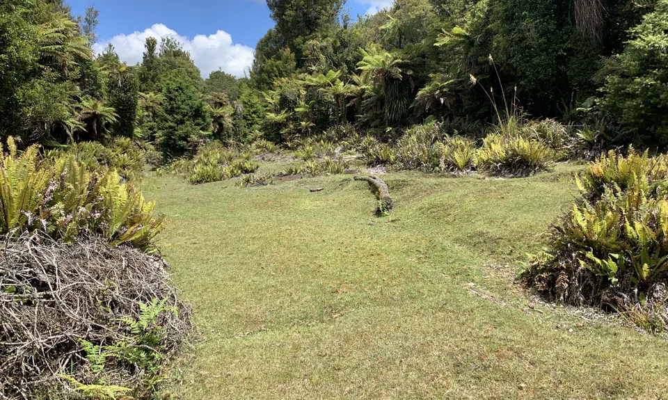
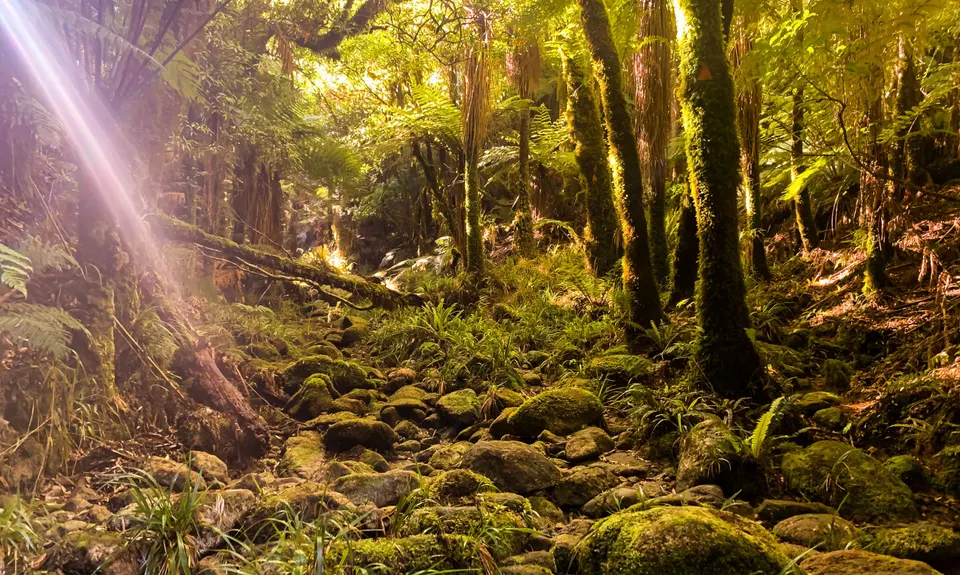
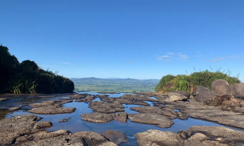
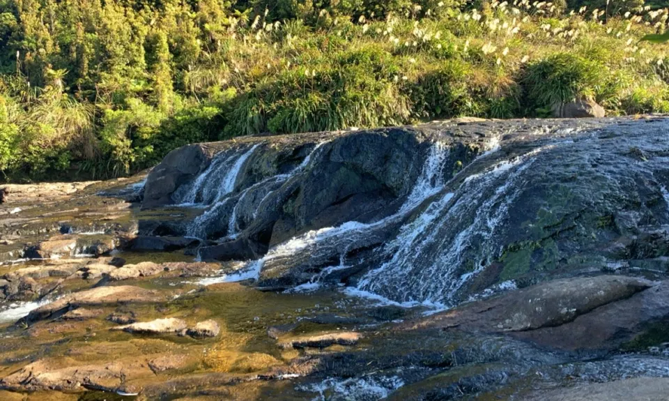
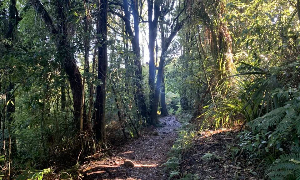
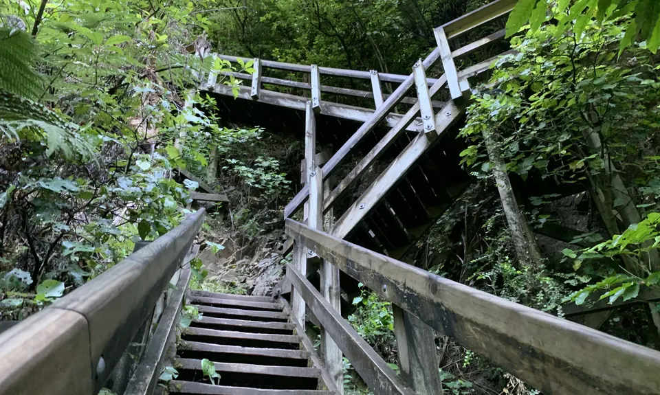
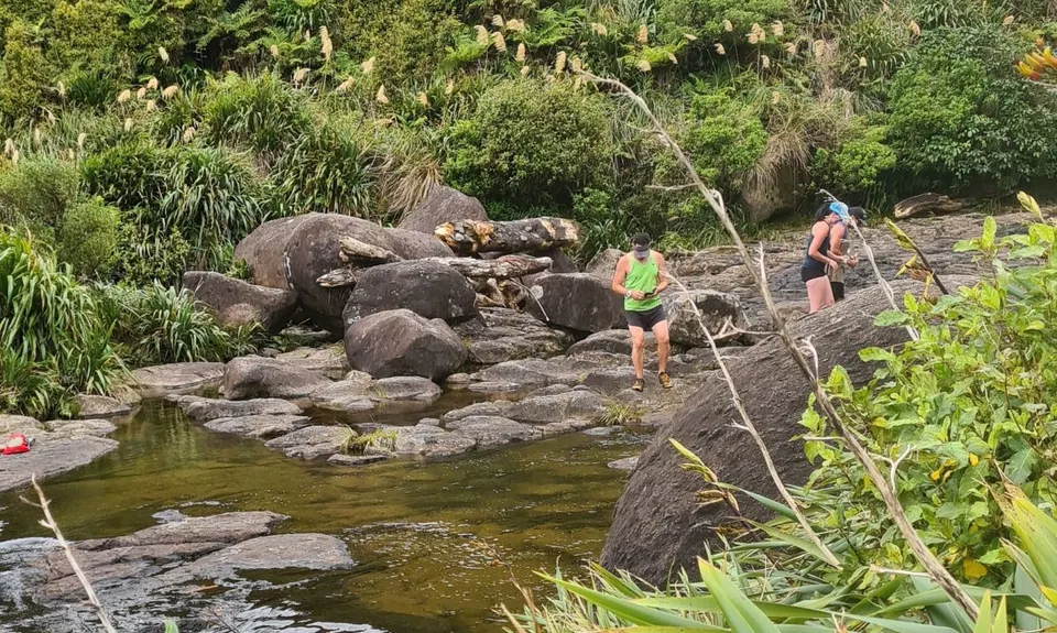
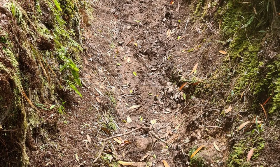
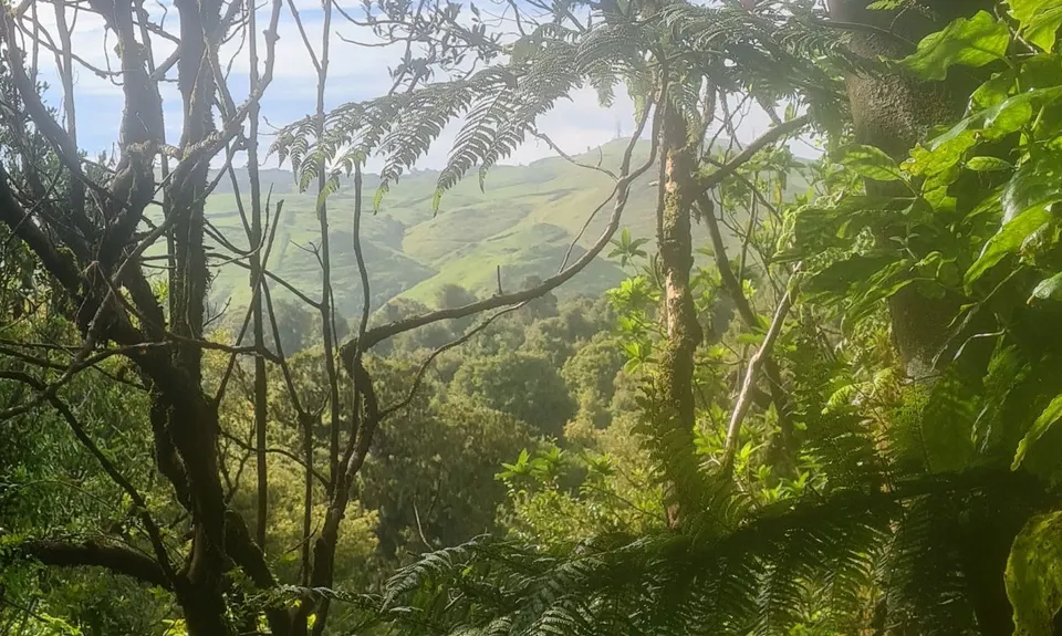
Kaimai Summit to Wairere Falls
Last Updated: 6th Apr 2024
Open
Grunt Factor: 49 ?
Gnarl Factor: 45 ?
26.0km
770m
1210m
580m
.jpg)
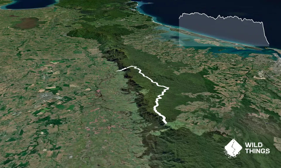
Trail Map
This Topo layer only covers NSW/ACT.
Switch to another map layer when viewing outside this area.
Switch to another map layer when viewing outside this area.


