Last Updated: 4th Nov 2025
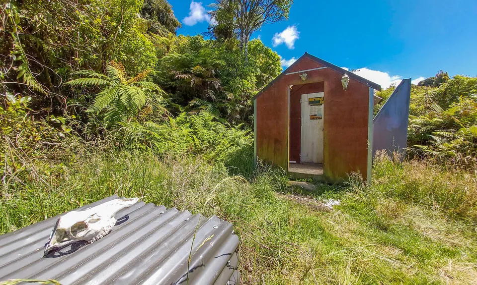
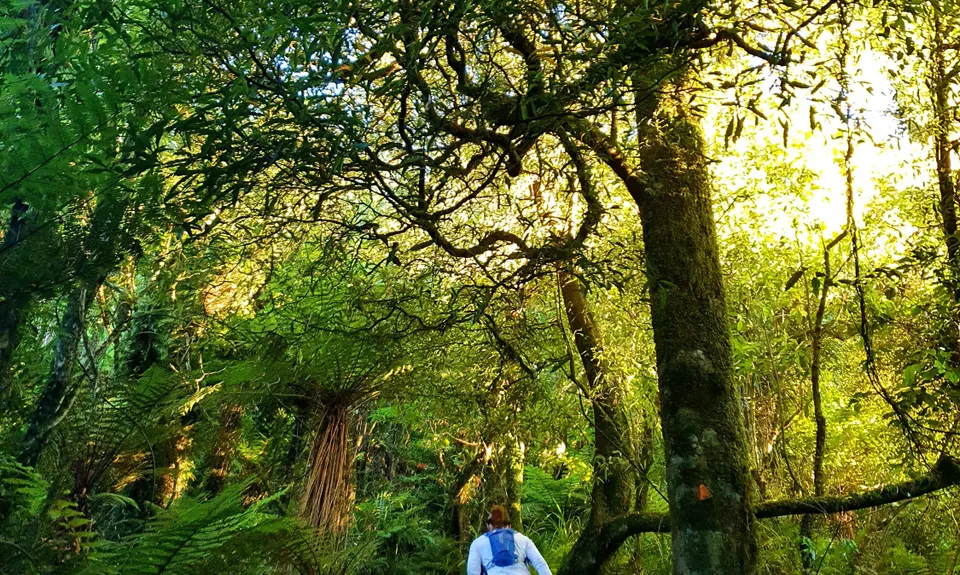
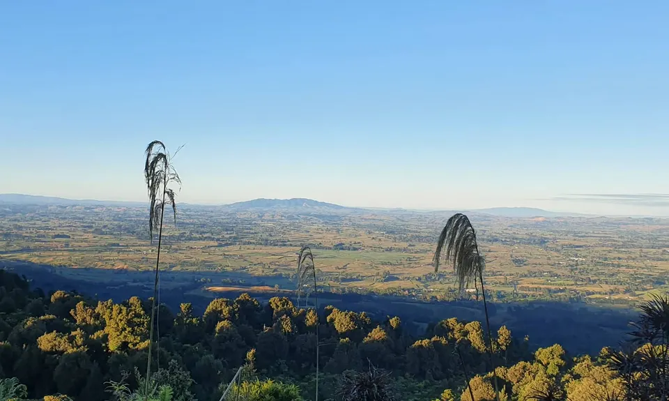
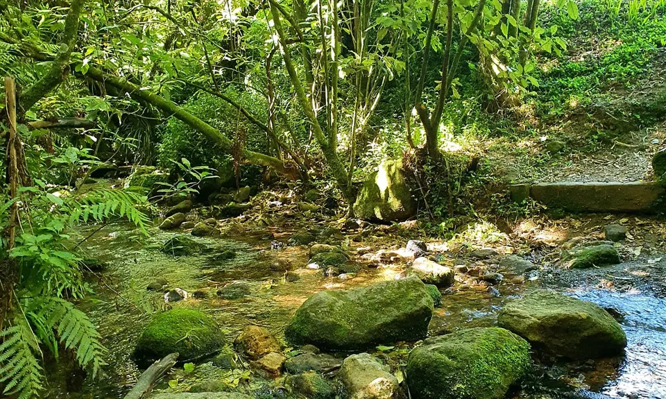
Kaimai South Side To Hurunui Hut
Last Updated: 4th Nov 2025
Open
Grunt Factor: 24 ?
Gnarl Factor: 48 ?
18.5km
400m
400m
480m

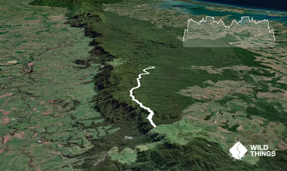
Trail Map
This Topo layer only covers NSW/ACT.
Switch to another map layer when viewing outside this area.
Switch to another map layer when viewing outside this area.


