Last Updated: 3rd Jan 2025
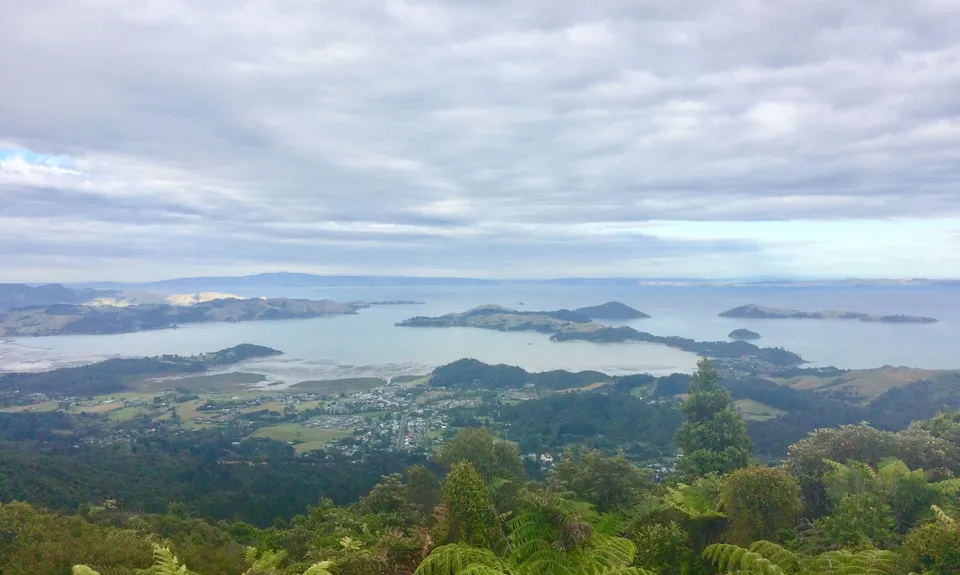
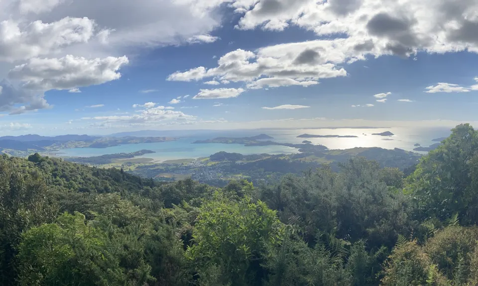
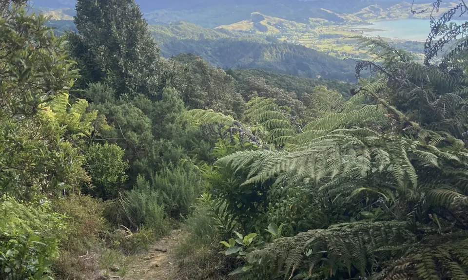
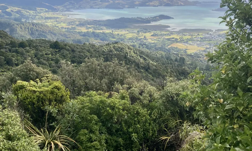
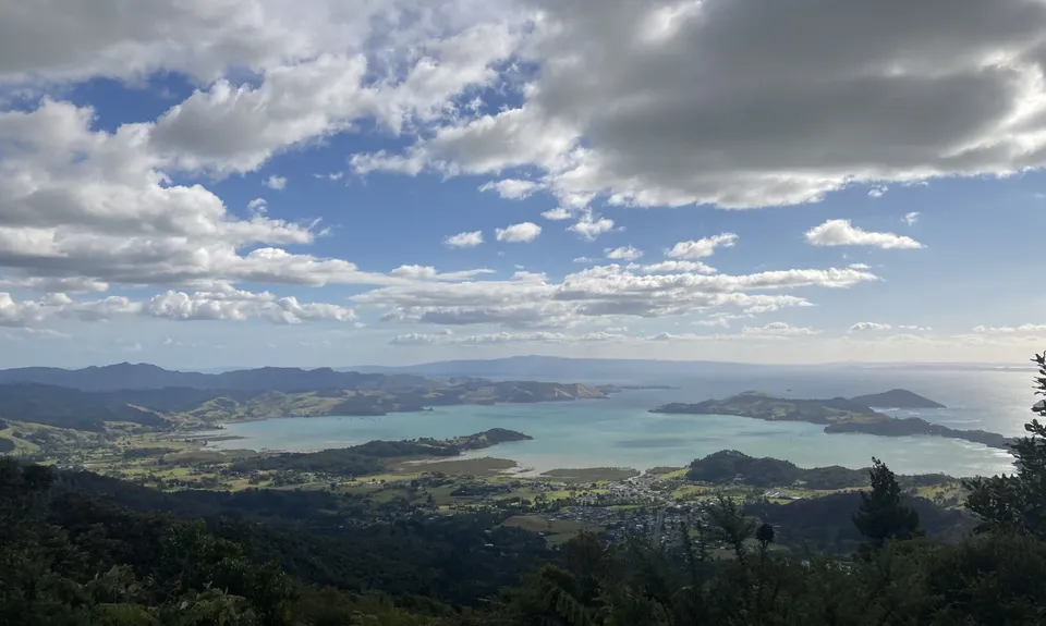
Kaipawa Trig
Last Updated: 3rd Jan 2025
Open
Grunt Factor: 13 ?
Gnarl Factor: 53 ?
6.6km
360m
360m
586m

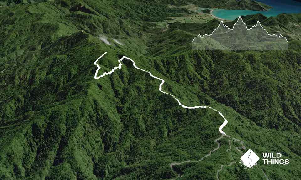
Trail Map
This Topo layer only covers NSW/ACT.
Switch to another map layer when viewing outside this area.
Switch to another map layer when viewing outside this area.


