Last Updated: 26th Jan 2026
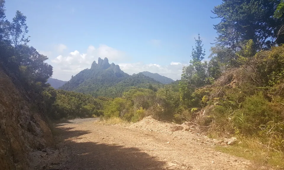
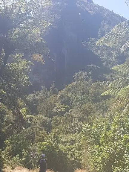
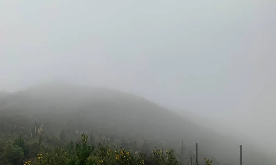
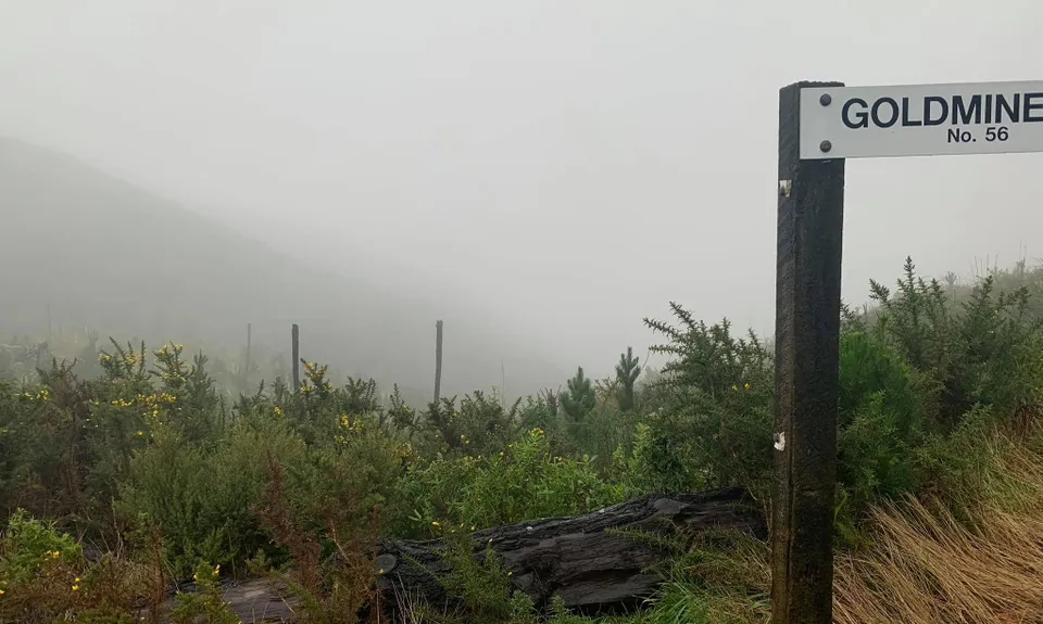
Castle Rock
Last Updated: 26th Jan 2026
Open
Grunt Factor: 19 ?
Gnarl Factor: 8 ?
24.0km
615m
615m
377m

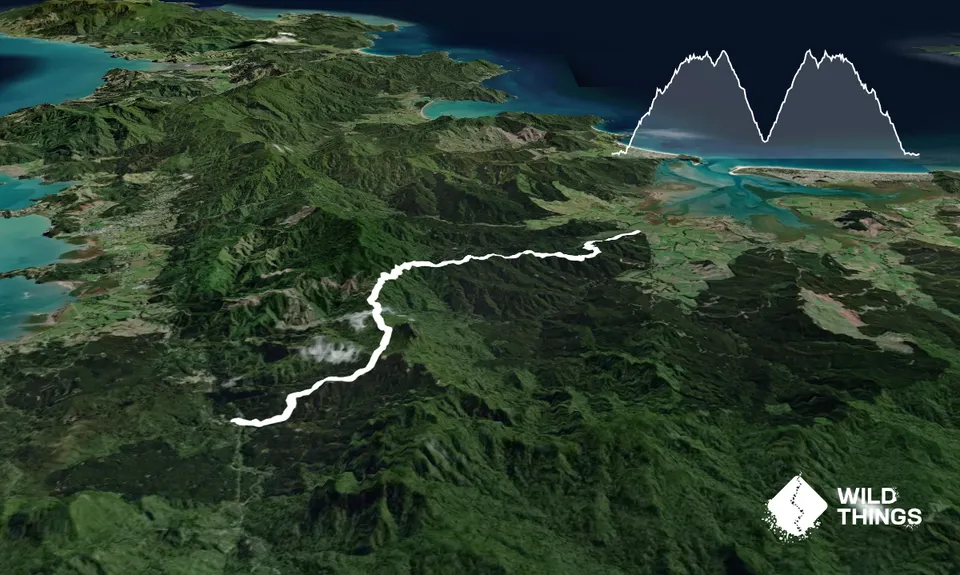
Trail Map
This Topo layer only covers NSW/ACT.
Switch to another map layer when viewing outside this area.
Switch to another map layer when viewing outside this area.


