Last Updated: 25th Sep 2026

Beginner

Save Trail Save

I've done it Done

Pirongia West Loop

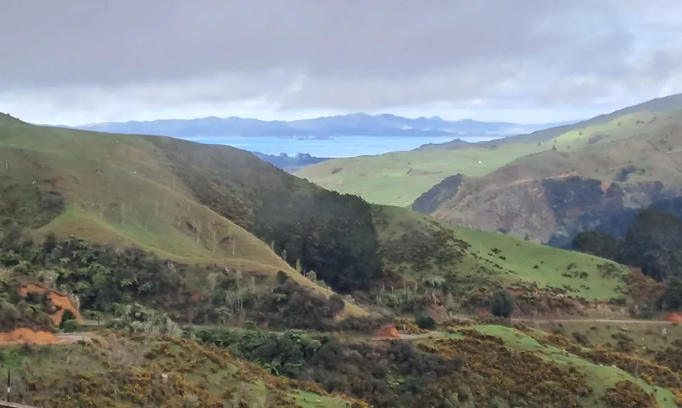
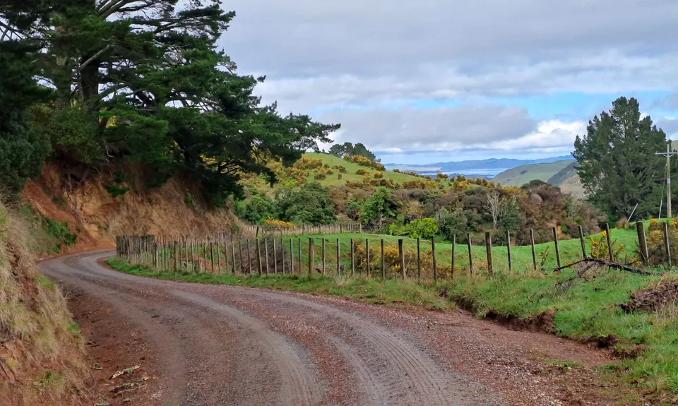
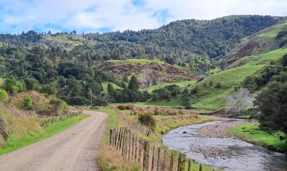
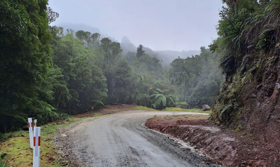
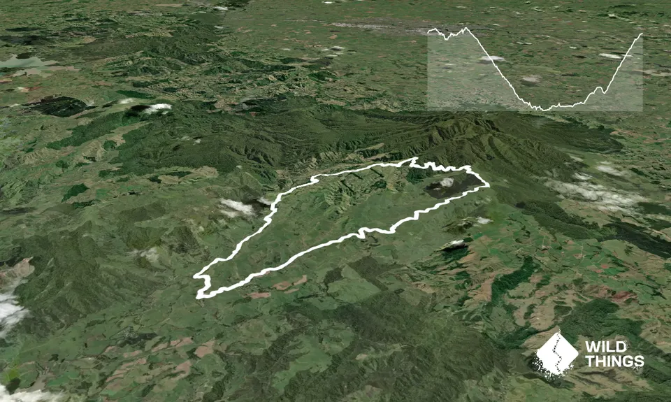
Quiet gravel road that runs through bush and farmland with long gradual runable hills.

Okupata Crossroads

Last Updated: 25th Sep 2026

Beginner

Save Trail Save

I've done it Done

Open

Grunt Factor: 26 ?

Gnarl Factor: 6 ?

32.0km

980m

980m


Become a VIP to see driving directions, distance and time.

Trail Map

This Topo layer only covers NSW/ACT.
Switch to another map layer when viewing outside this area.

Type of Run

Front country - easily accessible

Loop

Undulating, some big hills

Native bush

Open farmlands

Run Makeup

20%
80%

Sealed Road

Gravel / Boardwalk

Average Uphill Gradient: +6.10%

Average Downhill Gradient: -6.10%

Garmin Course

VIP Feature: Send this route to your Garmin account so you can follow the course on your Garmin device.

Send to Garmin

Learn about sending to Garmin.

Trailhead

Become a VIP Member to see the trailhead information.

Estimated Times to Run

5:00

Slow

3:45

Moderate

2:45

Fast

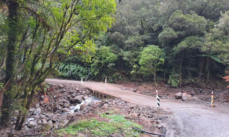
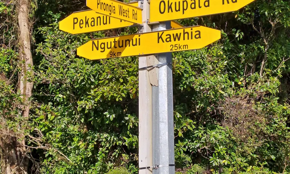
Start going down Pirongia West Road, which is the gravel road to the right of the large Okupata Crossroads sign. This will take you anti clockwise round the loop.

The first section takes you through farmland and bush at the base of Pirongia Forest Park. After about 6km of undulating gravel road you will start the long gradual downhill that goes for around 10km.

Enjoy the farmland views out to the west coast. When you get to the end of the road after about 20km, turn left onto the sealed Okupata Road. This eventually turns back into gravel.

Save some gas in the tank for the final 6km which is a steady but runable uphill climb. Just keep following the road until you get back to the Okupata Crossroads sign where you started.

If you know of any public toilets near the trail start or on the route, please login and then let us know so we can update this section.

There's no actual car park here, but there's room to park on the roadside next to the yellow road signs and the Okupata Crossroad sign.

14 km

25 minutes

Unknown

Easy.

Generally good.

Seam-sealed waterproof jacket, First aid kit, Cellphone, Map

The information provided is a guide only. Conditions, access and hazards can change, so use your own judgement and check current local information before heading out. Make sure the route or location is suitable for your experience, fitness and equipment, and check any access restrictions or permissions that may apply.

Do you have a suggestion on where to go afterwards for the best coffee / cake / breakfast / brunch / beer?

Trail Legend

Penny Brown

Penny Brown

has completed Pirongia West Loop once in the last year.

Login as a VIP to become a Trail Legend. Learn about Trail Legends.

You and Pirongia West Loop

As a VIP member you can record private notes for this trail, see all of your times and more.

Become a Member

Already have an account? Login now

Trail Reviews

Be the first to submit a review for Pirongia West Loop!

Login to submit a review

Trail Running Community

Find people who are interested in or have completed this trail run.

You must register or login to view this feature.

Register Now

Other trails nearby
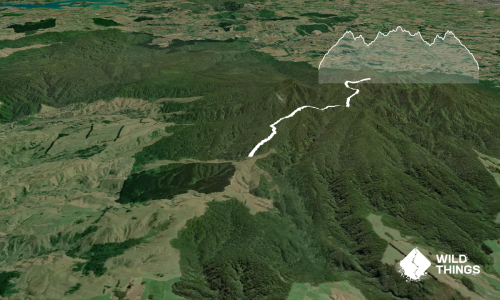
Pirongia Summit via Hihikiwi

Pirongia Summit via Hihikiwi

Length: 12.0km

Level: Intermediate

Distance Away: 1.7km

Te Kauri Park Loop

Te Kauri Park Loop

Length: 5.4km

Level: Beginner

Distance Away: 8.3km

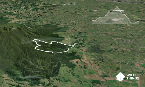
Sainsbury Forest Foot Loop

Sainsbury Forest Foot Loop

Length: 9.2km

Level: Beginner - Intermediate

Distance Away: 9.7km

Ruapane Leg Burner

Ruapane Leg Burner

Length: 3.8km

Level: Intermediate

Distance Away: 9.8km

Find more trails and peaks nearby

Wild Things
Wild Things
Explore more

Plan smarter, stay motivated, track your progress, and unlock the full Wild Things experience — while saving along the way.