Last Updated: 18th Jun 2024
Taupo Pa
Last Updated: 18th Jun 2024
Open
Grunt Factor: 10 ?
Gnarl Factor: 75 ?
6.0km
120m
120m
38m
Last Updated: 18th Jun 2024
Last Updated: 18th Jun 2024
Open
Grunt Factor: 10 ?
Gnarl Factor: 75 ?
6.0km
120m
120m
38m
Front country - easily accessible
Out and Back
Totally/mostly flat
Native bush
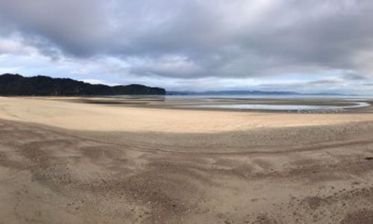
Beach
Coastal
Farm Road / 4WD Track
Easy Single Track
Untracked / Route only
Average Uphill Gradient: +14.8%
Average Downhill Gradient: -14.2%
VIP Feature: Send this route to your Garmin account so you can follow the course on your Garmin device.
Login as a VIP to see the trailhead information.
1:40
Slow
1:00
Moderate
0:40
Fast
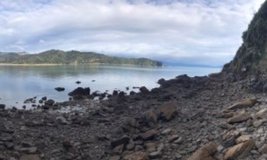
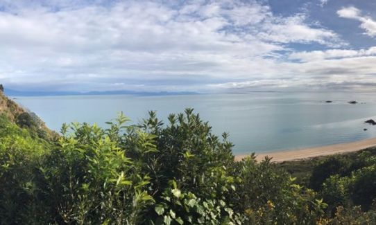
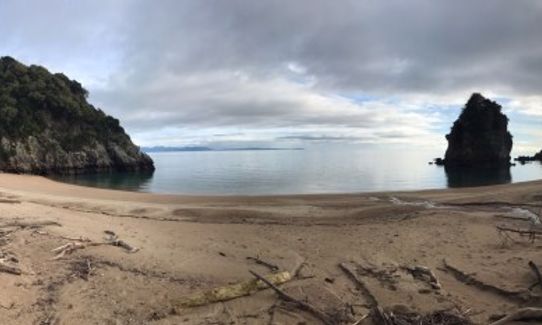
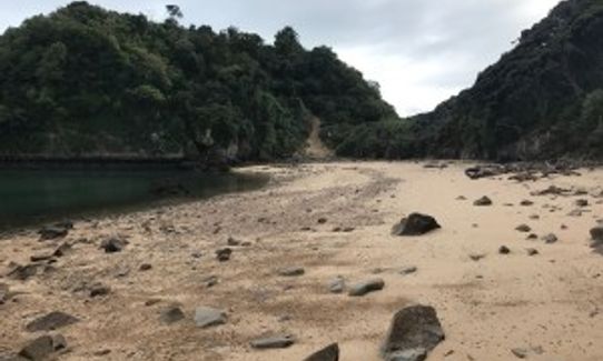
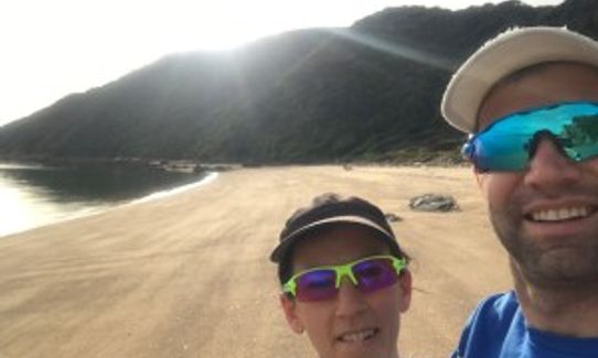
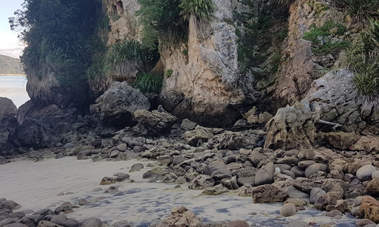
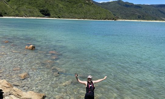
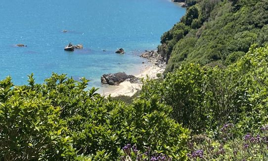
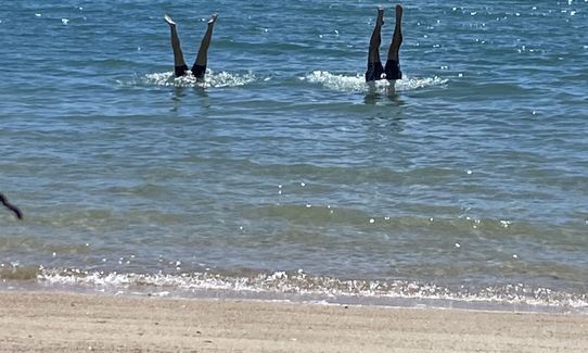
Five minutes along the Coastal Track there is a branch signposted off to the left that takes you down to the beach. On the beach look for the orange triangular track sign on the rocks to the right and follow around the shore line. After a few hundred metres there is a sign and path leading up the hill for the high tide track. It's recommended to go at low tide and scramble around. The going is relatively easy and it takes you to a secluded beach (with a private bach) and at the far end of this beach (less than 2 ½ km from the trail head) is Taupo Point.
There is plenty of wildlife on this journey with large crabs the size of your hand, a seal pup, oyster catchers, kingfishers and plenty of other birds.
Although poorly sign posted at the point there is a series of tracks that bisect across the isthmus and can be followed up the point. There is also a toilet located here (although I can't vouch for the state it is in). The pits, hollows and terraces of the Pã are still visible although overgrown.
We returned via the high tide track and this is a nice track with some well formed switch backs to get you up and over the point on the return journey.
It was from a Pã based here that some wakas set out to greet Abel Tasman when he sailed into the bay in 1642. Unfortunately their haka was too intimidating for our European forefathers and the sailors fired their muskets at the warriors in the waka killing four of them. That was Abel Tasman's only contact with Maori and it predated Captain Cook arriving by over 100 years.
If you know of any public toilets near the trail start or on the route, please login and then let us know so we can update this section.
Heaps of parking available and shuttles available for Takaka, Motueka, Richmond and Nelson
25 km
34 minutes
No
No
Moderate.
Check the tide before you travel to the start, as this route needs to be done on an out going tide or at low tide.
Patchy.
Windproof jacket, Whistle, First aid kit, Extra food for emergencies, Cellphone, Map
All water will need to be carried as none is available on the route.
Check the tide before you travel to the start, as this route needs to be done on an out going tide or at low tide.
Be aware of seals and their pups, and also during the spring nesting birds such as oystercatchers.
As you are traveling over rocky sections your footing needs to be sure.
The Wholemeal Cafe
60 Commercial Street, Takaka 7110, Golden Bay
http://www.wholemealcafe.co.nz/
Great coffee & juices and delicious wholesome food. I recommend the Detox Juice (apple, ginger, beetroot and carrot) and their burger with great patties made on site.
Trail Legend
Login as a VIP to become a Trail Legend. Learn about Trail Legends.
Fastest Known Times (FKTs)
You and Taupo Pa
As a VIP member you can record private notes for this trail, see all of your times and more.
Already have an account? Login now
Lovely route, just make sure to time it around low tide :) Agreed with Ashleigh, not very runnable. Agreed with Mike, not super gnarly.
November 12, 2023
What an asset to Golden Bay- a lovely family beach run..but yes it helps to load the gpx to find the secret trails. Do NOT be put off by the high gnarl points- not sure what they are about?
June 24, 2021
It's just a beach walk, v difficult to run - couldn't find the trails that are supposed to be in the bush ?
November 9, 2020
Send to your phone
Scan the below QR code to open this trail on your phone.

Tip: position the QR code in your phone camera screen.


