Last Updated: 21st Sep 2023
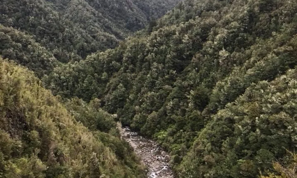
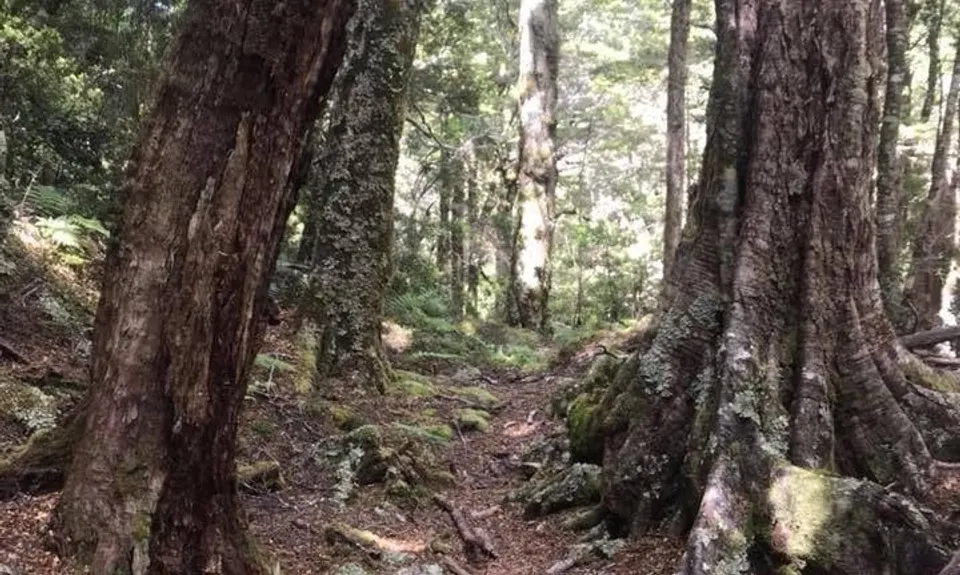
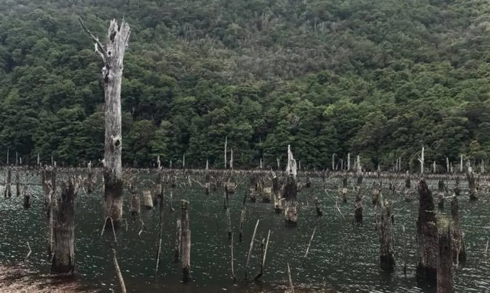
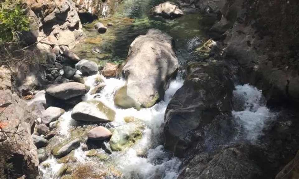
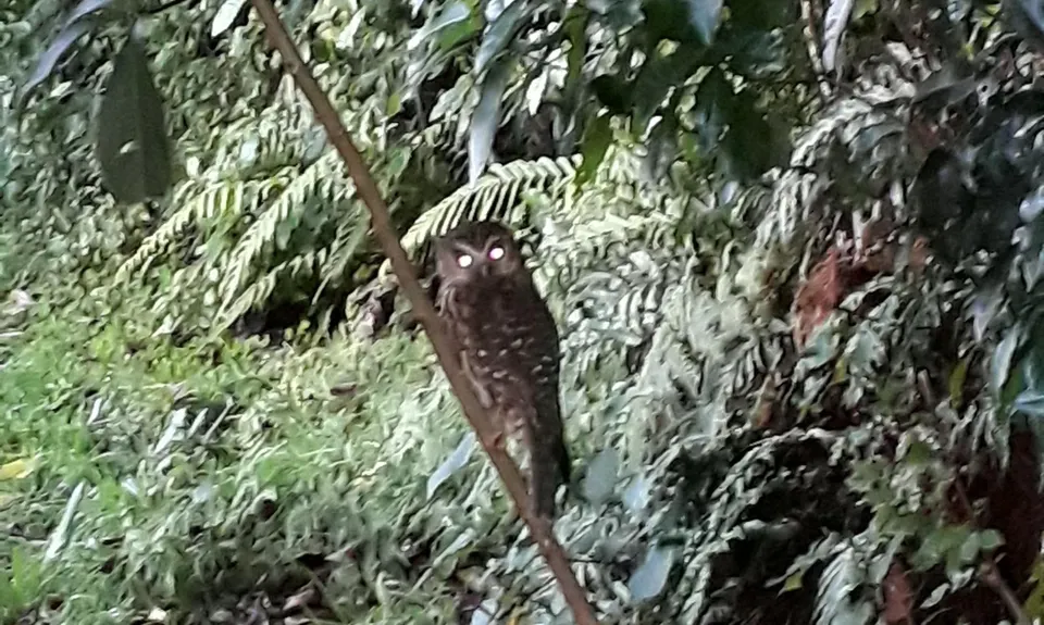
Anatoki-Waingaro-Kill Devil
Last Updated: 21st Sep 2023
Open
Grunt Factor: 104 ?
Gnarl Factor: 64 ?
57.0km
2385m
2345m
1103m
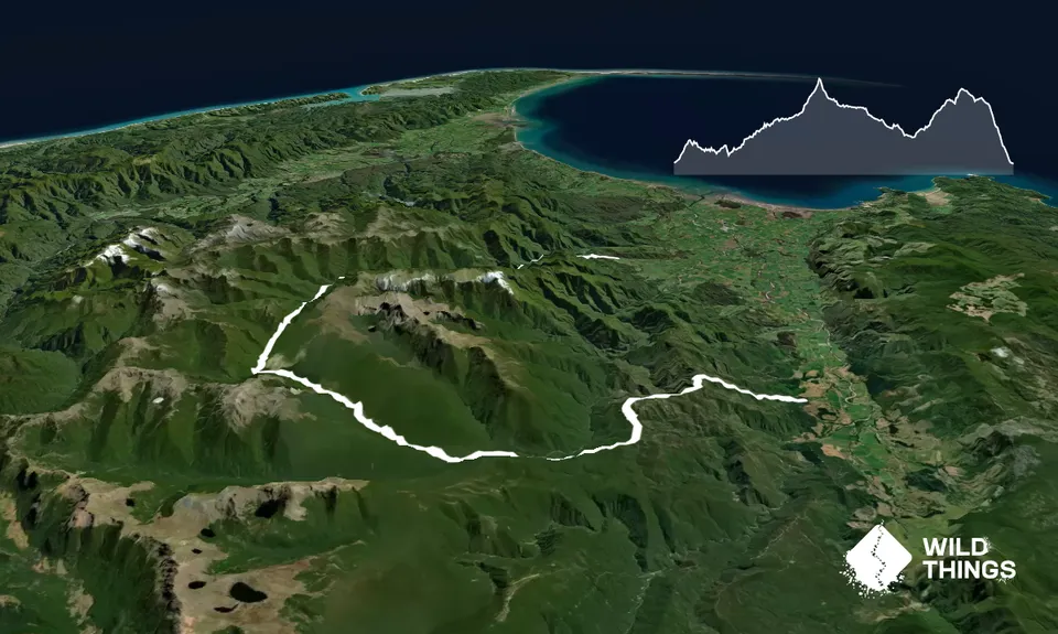
Trail Map
This Topo layer only covers NSW/ACT.
Switch to another map layer when viewing outside this area.
Switch to another map layer when viewing outside this area.


