Last Updated: 20th Sep 2024
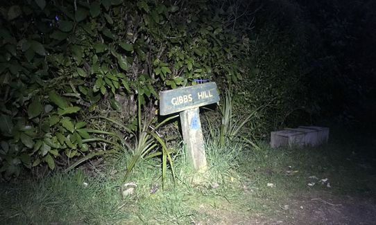
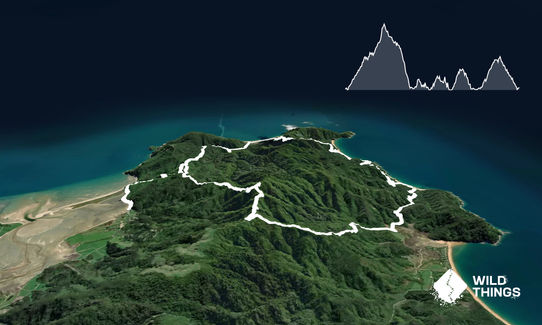
Gibbs Hill Loop
Last Updated: 20th Sep 2024
Open
Grunt Factor: 30 ?
Gnarl Factor: 18 ?
23.0km
970m
970m
385m
Last Updated: 20th Sep 2024
Last Updated: 20th Sep 2024
Open
Grunt Factor: 30 ?
Gnarl Factor: 18 ?
23.0km
970m
970m
385m
Front country - easily accessible
Loop
Undulating, some big hills
Native bush
Coastal
Open ridges/tops
Farm Road / 4WD Track
Easy Single Track
Average Uphill Gradient: +10.3%
Average Downhill Gradient: -11.3%
VIP Feature: Send this route to your Garmin account so you can follow the course on your Garmin device.
Login as a VIP to see the trailhead information.
4:30
Slow
3:30
Moderate
2:15
Fast
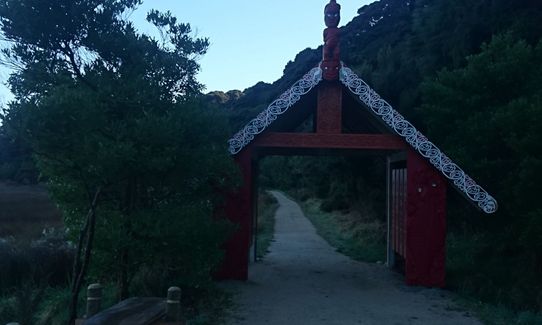
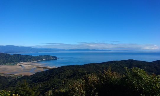
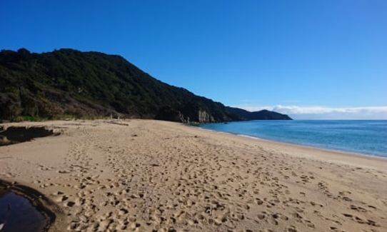
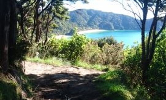
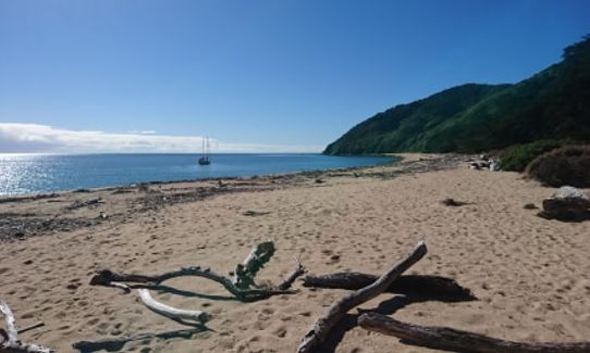
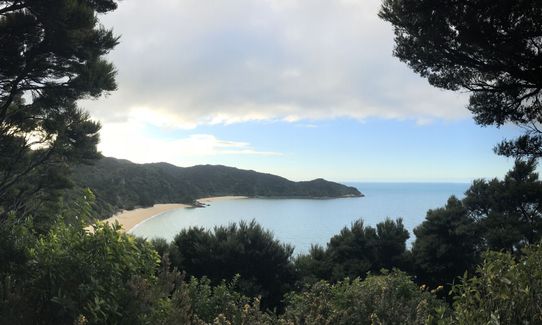
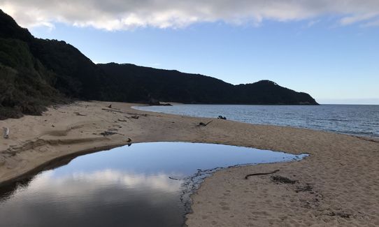
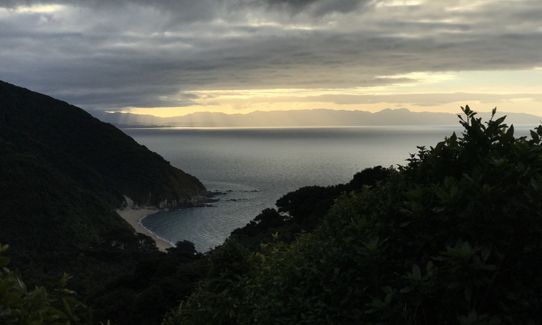
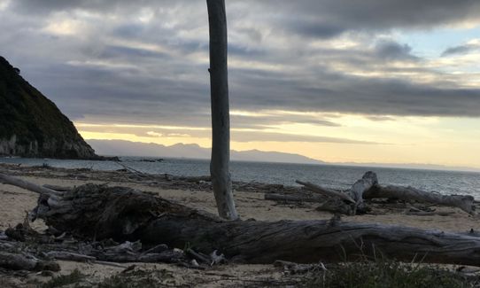
This is an easy to follow route, well sign posted with well graded trails. There are 5 climbs, the first and last being the biggest. Start at the Wainui car park and follow the 4wd along the flat then uphill for 2.8km to the Gibbs Hill saddle, you'll reach a fork, take the right turn and continue on uphill. This section starts undulating before a steepish last push up to the Gibbs Hill trig (5km climb in total). It is worth taking the small side track to see the views from the very top. Once you've taken in the views follow the 4wd down the hill towards Totaranui, it is steep and can be slippery in places, at the bottom you'll cross a small stream before coming out into a paddock. At the next junction take the left towards Anapai and Mutton Cove. Stay on this main track through the next two junctions still heading to Anapai. Along the beach at Anapai then back onto the track on the left, up the hill and eventually down into Mutton Cove. Run along the beach here (there's a toilet near to the next track entrance). Up the next hill and follow the track up and over to Whariwharangi, take in the beach on the right then the track up to the hut on the left. Take a few minutes to look at the historic hut before the final climb back to the saddle of Gibbs Hill, you'll recognise where you are from the beginning of the run, instead of going left back up the hill, this time take the right back down hill and to the car park.
This trail includes the peak Gibbs Hill.
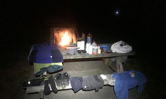
There is a cool historic hut at Whariwharangi towards the end of the loop and before the last uphill
If you know of any public toilets near the trail start or on the route, please login and then let us know so we can update this section.
Plenty of parking available at the road end, flushing toilets and safe.
24 km
34 minutes
No
No
Easy.
Very patchy.
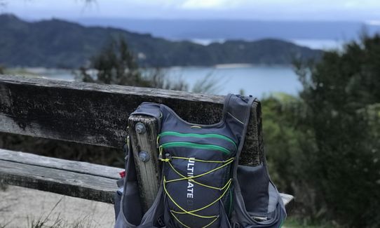
Long-sleeved thermal top, Seam-sealed waterproof jacket, Personal Locator Beacon (PLB), Whistle, First aid kit, Extra food for emergencies, Survival bag, Cellphone, Map
Water tap at Mutton Cove and Whariwharangi Hut
This run is fine all year round, it is all on well graded and looked after trails, mostly on the Abel Tasman Coastal Track.
Slippery clay/rock on the decent after Gibbs Hill
Penguin Cafe
Pohara
http://penguincafe.co.nz/
Chips and Pizzas are yum
Trail Legend
Login as a VIP to become a Trail Legend. Learn about Trail Legends.
Fastest Known Times (FKTs)
You and Gibbs Hill Loop
As a VIP member you can record private notes for this trail, see all of your times and more.
Already have an account? Login now
Great views even in the rain when I did it! The downhill from Gibbs hill was quite slippery on the clay-like surface with no grip so if doing it on a wet day in the future I would probably go the other direction to avoid that and instead finish going up that. But otherwise it was a great loop.
June 25, 2023
IL
I enjoyed running it both directions. Climbing Gibbs hill as the last point was quite steep tho
October 9, 2021
PB
These overlap with this trail to some degree. You may wish to combine them but please note that to qualify for FKTs on these runs you should record a separate activity for each.
Send to your phone
Scan the below QR code to open this trail on your phone.

Tip: position the QR code in your phone camera screen.


