Last Updated: 19th Sep 2024
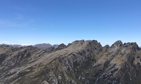
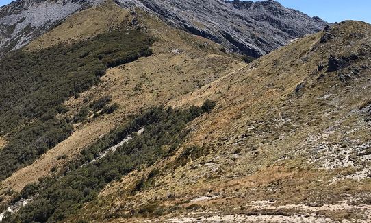
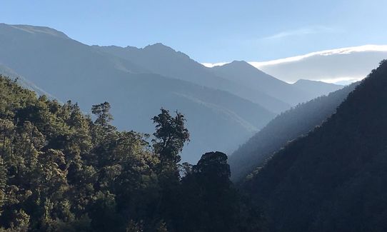
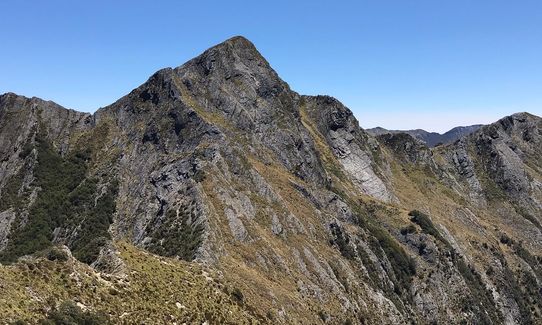
Boulder Lake to Anatoki Forks
Last Updated: 19th Sep 2024
Open
Grunt Factor: 126 ?
Gnarl Factor: 82 ?
53.3km
3265m
3150m
1544m
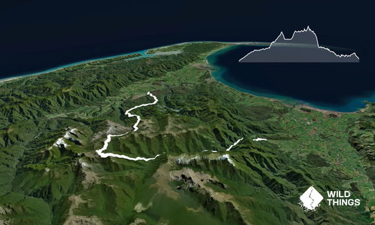
Trail Map
This Topo layer only covers NSW/ACT.
Switch to another map layer when viewing outside this area.
Switch to another map layer when viewing outside this area.


