Last Updated: 2nd Apr 2025
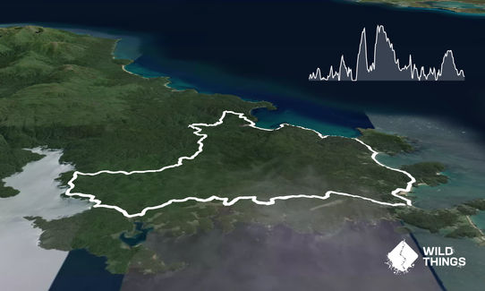
Rakiura Track
Last Updated: 2nd Apr 2025
Grunt Factor: 43 ?
Gnarl Factor: 37 ?
35.0km
1000m
1000m
186m
Last Updated: 2nd Apr 2025
Last Updated: 2nd Apr 2025
Grunt Factor: 43 ?
Gnarl Factor: 37 ?
35.0km
1000m
1000m
186m
Front country - easily accessible
Loop
Undulating, some big hills
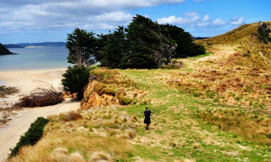
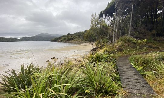
Native bush
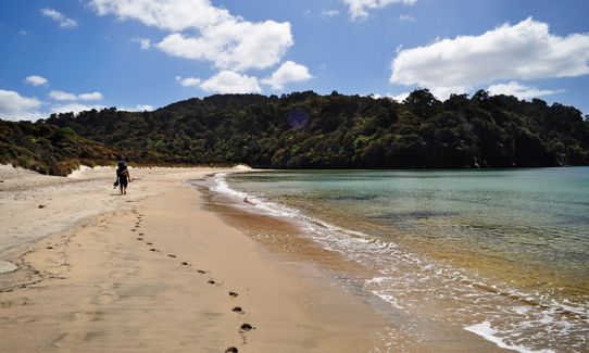
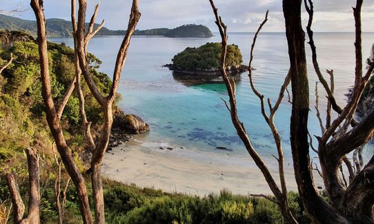
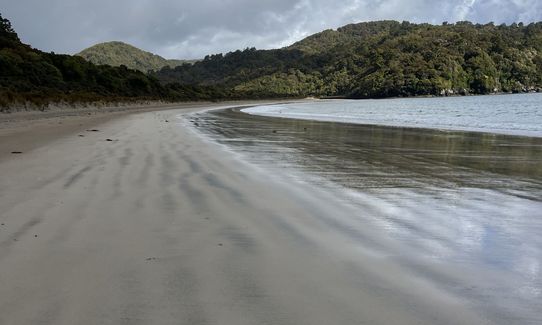
Beach
Coastal
Sealed Road
Moderate Single Track
Average Uphill Gradient: +6.5%
Average Downhill Gradient: -6.5%
VIP Feature: Send this route to your Garmin account so you can follow the course on your Garmin device.
Login as a VIP to see the trailhead information.
6:30
Slow
5:00
Moderate
3:20
Fast
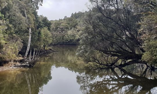
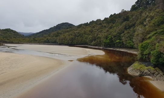
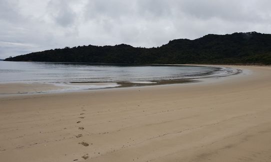
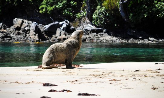
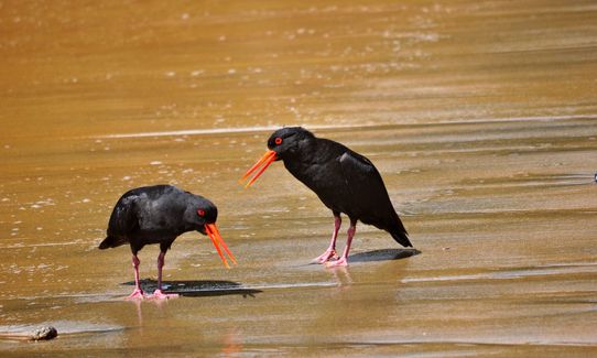
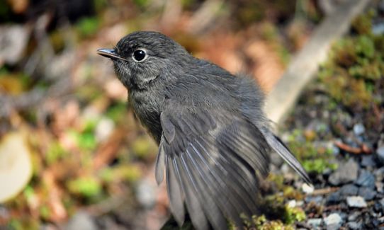
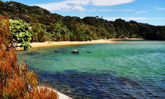
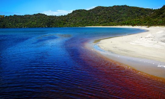
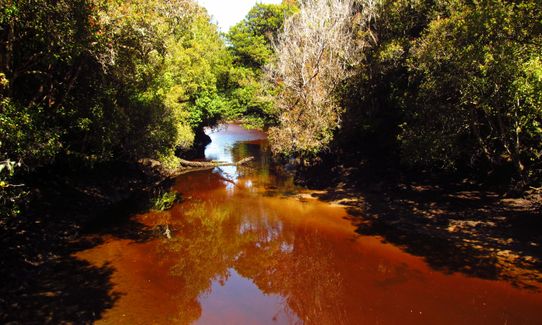
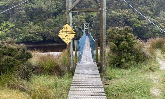
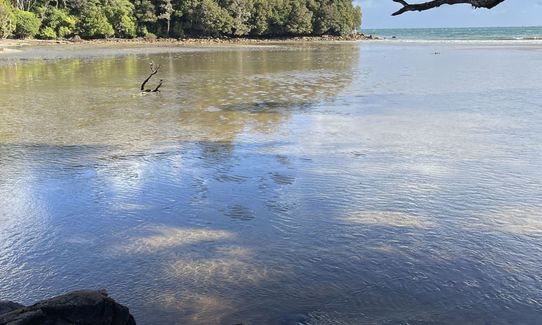
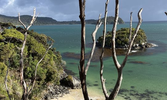
The Great walk is a pleasant run. The circuit follows open coastline, crosses forested interior and meanders along the sheltered shores of Paterson Inlet. It passes sites of historical interest and introduces many of the common sea and forest birds of the island. Parts of it cross Maori land and access is courtesy of the owners. If running at night you might be able to sight a kiwi! Stewart Island is a must see and this is a great way to catch the sites in one day. The track can also be walked in one day. You can run to the start of the true track at Lee Bay, but you can also catch a shuttle. It's a nice run along the road, with nice beaches and scenery. Getting a shuttle cuts off 5km of the run.
If you know of any public toilets near the trail start or on the route, please login and then let us know so we can update this section.
You can run to the start of the true track at Lee Bay, but you can also catch a shuttle. It's a nice run along the road, with nice beaches and scenery. Getting a shuttle cuts off 5km of the run.
0 km
0 minutes
No
No
Easy.
Unknown.
Lightweight fleece top, Long-sleeved thermal top, Windproof jacket, Whistle, First aid kit, Extra food for emergencies, Cellphone, Map
Only one main water stop which is post halfway so I'd recommend taking a good amount
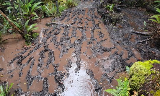
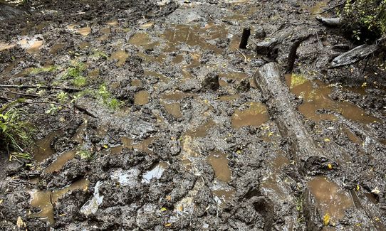
Pretty muddy after rain, and the boat ride is often choppy.
Trail Legend
Login as a VIP to become a Trail Legend. Learn about Trail Legends.
Fastest Known Times (FKTs)
You and Rakiura Track
As a VIP member you can record private notes for this trail, see all of your times and more.
Already have an account? Login now
Fun run in the bush with some good views and nice beaches. Bit boggy in places...
January 24, 2023
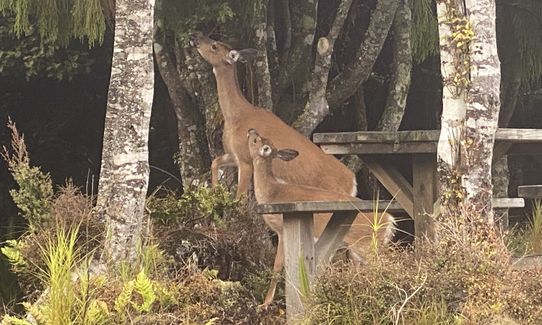
A very nice run even in the drizzly rain and overcast skies on the day I did it. I went anti clockwise starting from Oban and glad I did as I got the coastal scenery earlier in the run when I was fresher and not on a mission to finish. It was VERY muddy and I am very glad I brought my UD gaiters with me and wore my grippy Sportiva Akasha. A few times it was past my ankles. DOC staff in Oban advised against drinking any stream water so be sure to pack plenty. You will only hit North Arm Hut and can get water there but needs to be boiled. Thankfully it was overcast and about 12C on my run and the 1.5L I took was plenty. No luck on seeing any sea lions or kiwis. Just a few deer on a beach and at North Arm hut. Glad to have knocked over another Great Walk.
January 3, 2021
Glorious run. Lots of unexpected surprises. The run here should run clockwise to match the race.
December 19, 2019
This has everything. Scenery, varied terrain mud and all sorts of fun. 1000m of vert even tho the highest point is 186m, nothing much is flat! Trail running heaven
October 29, 2018
Send to your phone
Scan the below QR code to open this trail on your phone.

Tip: position the QR code in your phone camera screen.


