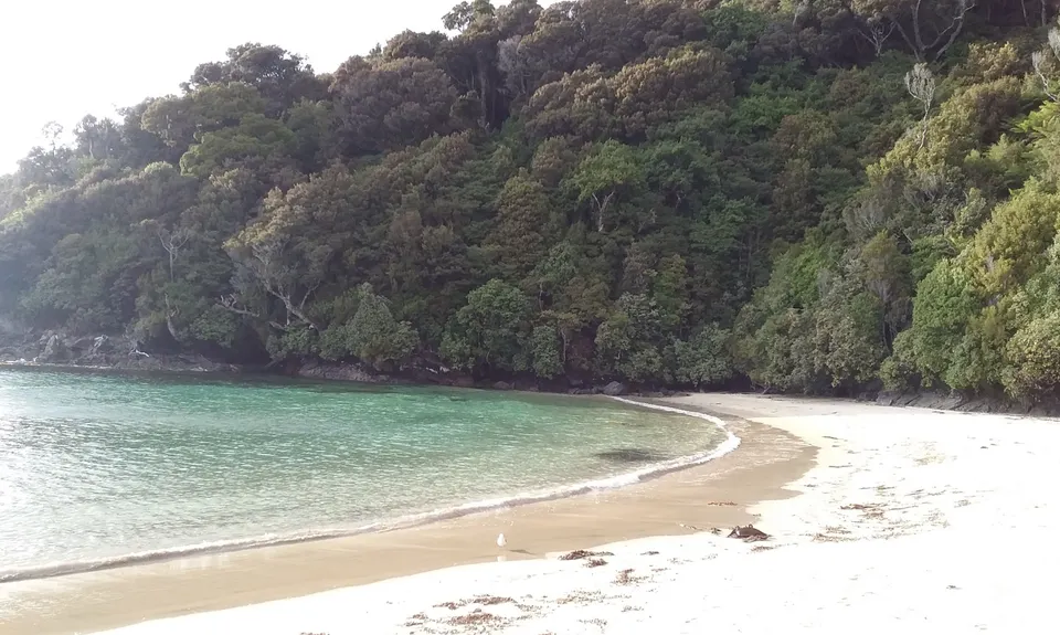
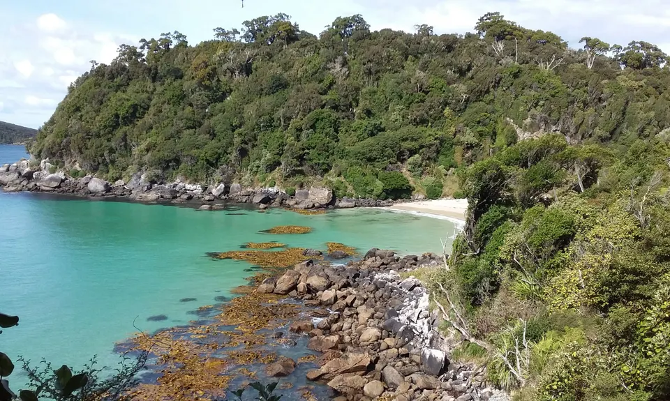
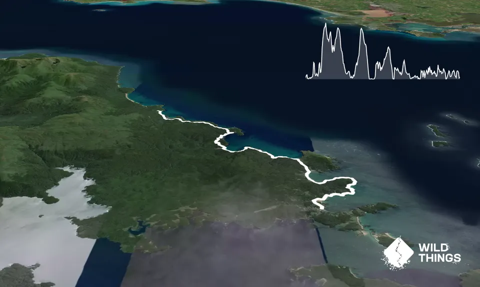
Starting from the Bungaree Hut (you may wish to walk in ahead or get a water taxi from Oban same day). Bungaree sits on the northwest end of a beautiful white sand beach. Run along the beach for a km or so until almost the end where you'll see a track marker (orange triangle) heading into the bush. Turning left on this track you'll head up your first climb, over a small headland and down into the edge of a tidal inlet. The track meanders around that inlet and then further into the bush and over the first real climb (about 130m elevation from the beach).
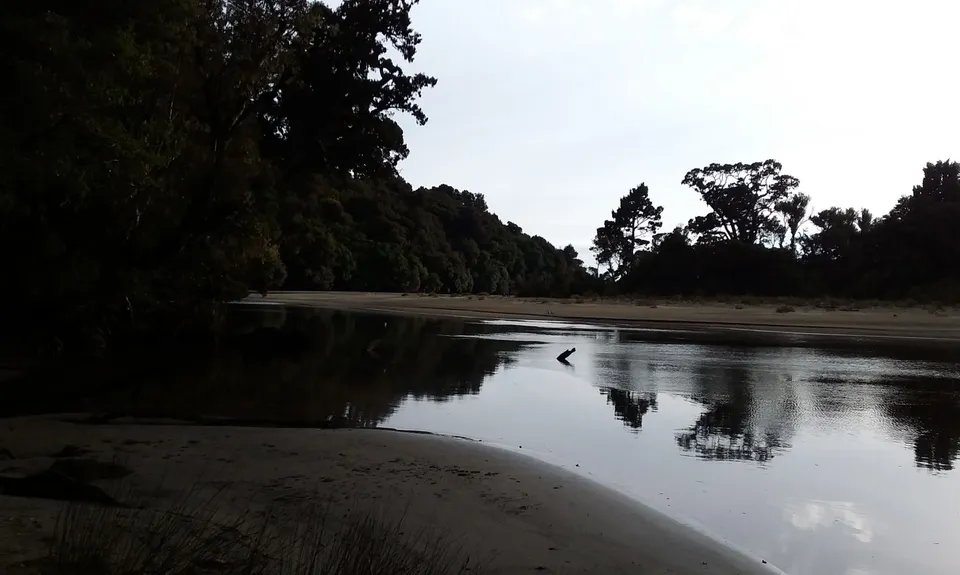
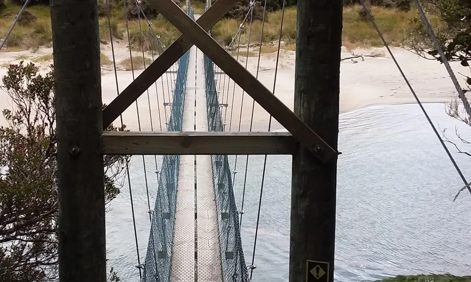
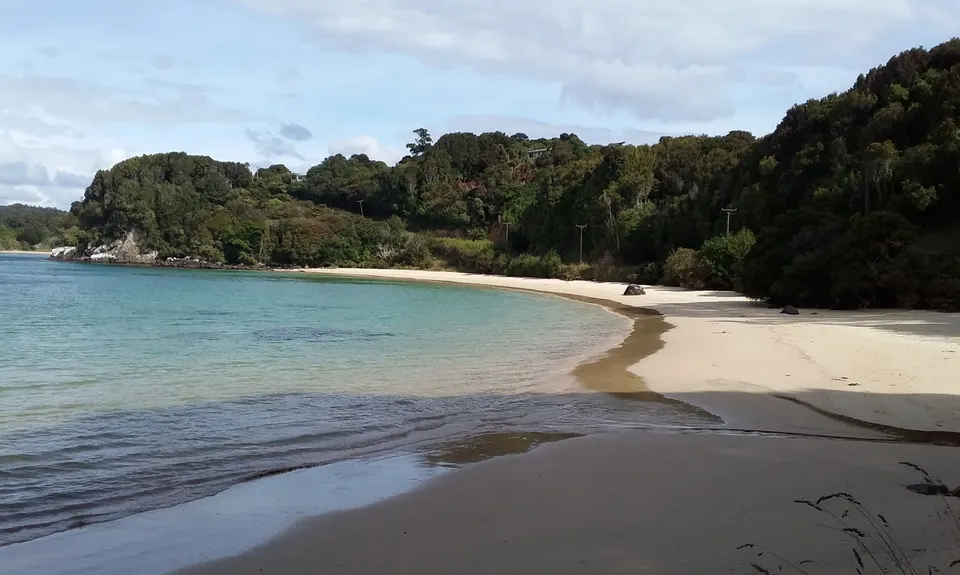
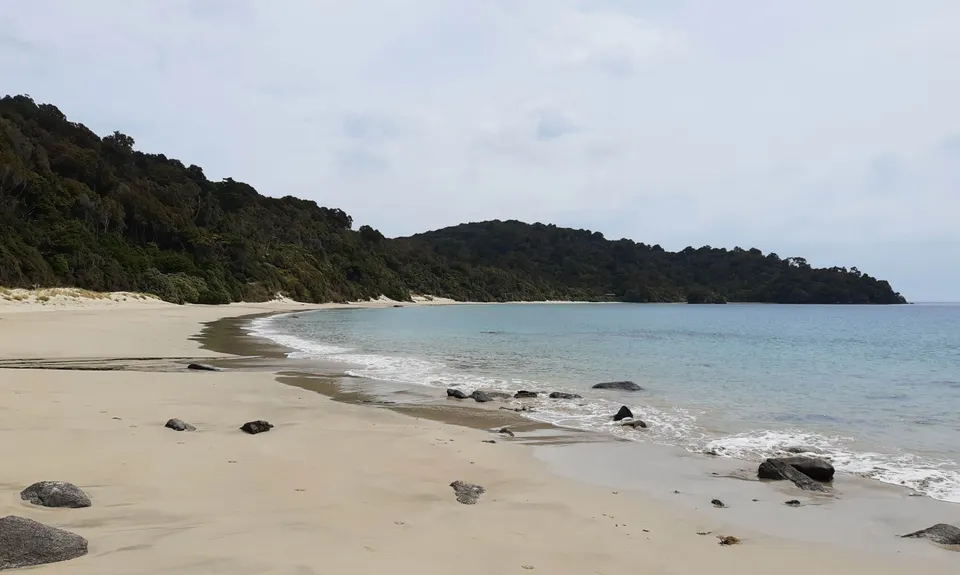
The more technical part of the day is here to Port William Hut on a great single track up and over a couple of hills and you'll notice you start a longer down hill past another beach before a short climb and then down into a flat muddy section that leads to Port William. You'll reach a junction where the short detour to the left takes you to Port William Hut and the wharf (worth a look). You can then run along the beach until about half way down the beach you need to get back up on the track and continue inland up another similar climb over the headland, past a junction (staying to your left) and down into the beautiful Wooding Bay.You cross a great looking swingbridge over the tidal estuary and another beaut white sand beach and run down the beach to Maori Bay campsite.
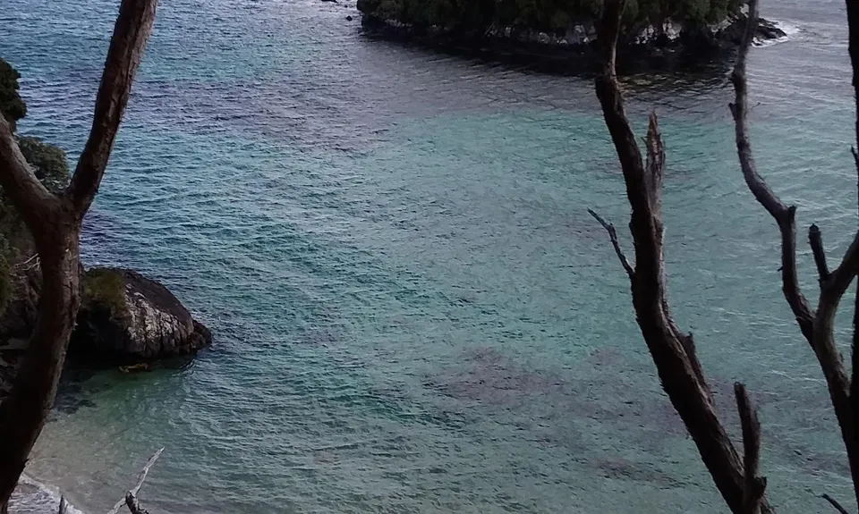
Cross a small stream at the end of the beach and head uphill and start heading to Lee Bay and the big anchor chain sculpture that connects Stewart Island with the corresponding sculpture in Bluff. Take the gravel road over the hill and you'll see Horseshoe bay. Follow the road (now sealed) around the bay and at the far end if you stay left you connect into Horseshoe Point Rd that becomes a track on your left. This track meanders around the headland to a great lookout and then onto the stunning little bay (Dead Mans Beach). From here it's a climb up the stairs and a nice undulating track after the climb that eventually takes you back to Oban and a cold beer awaits you at the South Seas Hotel. Bliss in a great location, at a great place.